27 Colonial Rd Webster, MA 01570
Estimated Value: $886,000 - $1,124,000
2
Beds
4
Baths
2,856
Sq Ft
$353/Sq Ft
Est. Value
About This Home
This home is located at 27 Colonial Rd, Webster, MA 01570 and is currently estimated at $1,008,236, approximately $353 per square foot. 27 Colonial Rd is a home located in Worcester County with nearby schools including Park Avenue Elementary School, Webster Middle School, and Bartlett High School.
Ownership History
Date
Name
Owned For
Owner Type
Purchase Details
Closed on
Oct 31, 2014
Sold by
Green Panda Llc
Bought by
Falke Jarrid
Current Estimated Value
Home Financials for this Owner
Home Financials are based on the most recent Mortgage that was taken out on this home.
Original Mortgage
$176,000
Outstanding Balance
$132,059
Interest Rate
4%
Mortgage Type
Adjustable Rate Mortgage/ARM
Estimated Equity
$876,177
Purchase Details
Closed on
Jun 9, 2014
Sold by
Svendsen Elisa
Bought by
Green Panda Llc
Create a Home Valuation Report for This Property
The Home Valuation Report is an in-depth analysis detailing your home's value as well as a comparison with similar homes in the area
Home Values in the Area
Average Home Value in this Area
Purchase History
We collect this data history from publicly available records. To have your information removed, we recommend requesting removal directly through your county’s website.
| Date | Buyer | Sale Price | Title Company |
|---|---|---|---|
| Falke Jarrid | $222,700 | -- | |
| Falke Jarrid | $222,700 | -- | |
| Green Panda Llc | $185,000 | -- | |
| Green Panda Llc | $185,000 | -- |
Source: Public Records
Mortgage History
We collect this data history from publicly available records. To have your information removed, we recommend requesting removal directly through your county’s website.
| Date | Status | Borrower | Loan Amount |
|---|---|---|---|
| Open | Falke Jarrid | $176,000 | |
| Closed | Green Panda Llc | $176,000 |
Source: Public Records
Tax History
| Year | Tax Paid | Tax Assessment Tax Assessment Total Assessment is a certain percentage of the fair market value that is determined by local assessors to be the total taxable value of land and additions on the property. | Land | Improvement |
|---|---|---|---|---|
| 2025 | $10,981 | $924,300 | $353,900 | $570,400 |
| 2024 | $10,506 | $862,600 | $308,000 | $554,600 |
| 2023 | $10,086 | $806,900 | $293,200 | $513,700 |
| 2022 | $10,005 | $716,700 | $260,800 | $455,900 |
| 2021 | $10,137 | $671,300 | $260,800 | $410,500 |
| 2020 | $10,217 | $678,400 | $260,800 | $417,600 |
| 2019 | $4,967 | $324,000 | $260,800 | $63,200 |
| 2018 | $4,816 | $312,900 | $260,800 | $52,100 |
| 2017 | $4,867 | $321,700 | $264,200 | $57,500 |
| 2016 | $4,230 | $279,400 | $227,500 | $51,900 |
| 2015 | $4,021 | $273,900 | $223,000 | $50,900 |
Source: Public Records
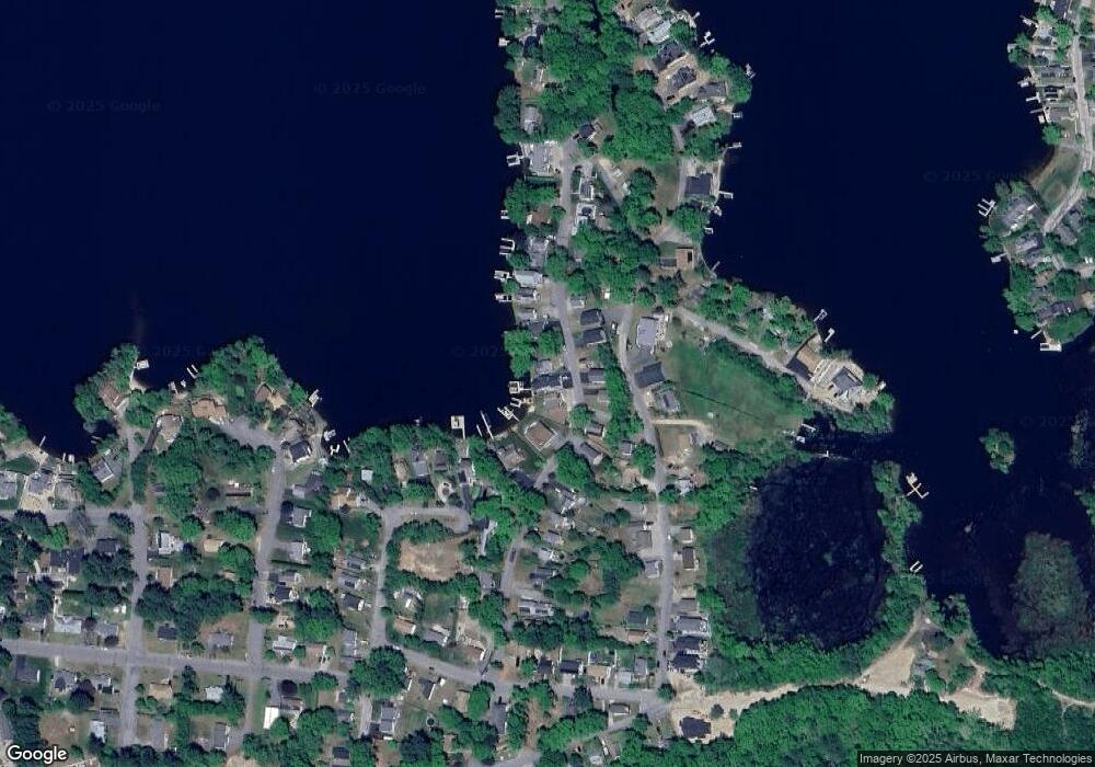
Map
Nearby Homes
- 32 Colonial Rd
- 38 Colonial Rd
- 16 Black Point Rd
- 22 Pattison Rd
- 20 Elaine St
- 18 Leon St
- 6 Lillian Ave
- 8 Freeman Ave
- 56 Sand Dam Rd
- 13 S Point Rd
- 3 Dominique Dr
- 24 Cooper Rd
- 40 Scenic Ave
- 9 Becola Rd
- 25 Lakeview St
- 195 Lower Gore Rd
- 45 Point Pleasant Rd
- 14 Liberty Ln
- 20 Indian Point Rd
- 22 Union Point Rd
- 17 Colonial Rd
- 21 Colonial Rd
- 20 Indian Ln
- 21 Indian Ln
- 25 Colonial Rd
- 25 Colonial Rd Unit n/a
- 19 Indian Ln
- 18 Colonial Rd
- 22 Colonial Rd
- 16 Colonial Rd
- 2 Bath House Rd
- 18 Indian Ln
- 18-20+lots Indian Ln
- 17 Indian Ln
- 29 Colonial Rd
- 12 Colonial Rd
- 25 Black Point Rd Unit 25
- 15 Indian Ln
- 19 Black Point Rd
- 23 Black Point Rd
Your Personal Tour Guide
Ask me questions while you tour the home.