Estimated Value: $742,503 - $855,000
4
Beds
2
Baths
2,136
Sq Ft
$373/Sq Ft
Est. Value
About This Home
This home is located at 27 Conant Dr, Stow, MA 01775 and is currently estimated at $796,126, approximately $372 per square foot. 27 Conant Dr is a home located in Middlesex County with nearby schools including Center School, Hale Middle School, and Nashoba Regional High School.
Ownership History
Date
Name
Owned For
Owner Type
Purchase Details
Closed on
Mar 6, 2025
Sold by
Hernon Christina H
Bought by
Hernon Ft and Hernon
Current Estimated Value
Purchase Details
Closed on
Jun 1, 2006
Sold by
Panora Christine A and Panora Robert A
Bought by
Hernon Christina H
Home Financials for this Owner
Home Financials are based on the most recent Mortgage that was taken out on this home.
Original Mortgage
$335,200
Interest Rate
6.55%
Mortgage Type
Purchase Money Mortgage
Purchase Details
Closed on
Jan 26, 1988
Sold by
Collins Francis
Bought by
Pandra Robert A
Home Financials for this Owner
Home Financials are based on the most recent Mortgage that was taken out on this home.
Original Mortgage
$132,900
Interest Rate
10.64%
Mortgage Type
Purchase Money Mortgage
Create a Home Valuation Report for This Property
The Home Valuation Report is an in-depth analysis detailing your home's value as well as a comparison with similar homes in the area
Home Values in the Area
Average Home Value in this Area
Purchase History
| Date | Buyer | Sale Price | Title Company |
|---|---|---|---|
| Hernon Ft | -- | None Available | |
| Hernon Ft | -- | None Available | |
| Hernon Christina H | $419,000 | -- | |
| Hernon Christina H | $419,000 | -- | |
| Pandra Robert A | $242,900 | -- |
Source: Public Records
Mortgage History
| Date | Status | Borrower | Loan Amount |
|---|---|---|---|
| Previous Owner | Pandra Robert A | $310,000 | |
| Previous Owner | Hernon Christina H | $335,200 | |
| Previous Owner | Pandra Robert A | $119,000 | |
| Previous Owner | Pandra Robert A | $132,900 |
Source: Public Records
Tax History Compared to Growth
Tax History
| Year | Tax Paid | Tax Assessment Tax Assessment Total Assessment is a certain percentage of the fair market value that is determined by local assessors to be the total taxable value of land and additions on the property. | Land | Improvement |
|---|---|---|---|---|
| 2025 | $11,117 | $638,200 | $336,400 | $301,800 |
| 2024 | $11,460 | $675,300 | $369,900 | $305,400 |
| 2023 | $10,718 | $591,200 | $330,600 | $260,600 |
| 2022 | $9,256 | $473,200 | $254,600 | $218,600 |
| 2021 | $9,512 | $476,100 | $254,600 | $221,500 |
| 2020 | $8,388 | $407,000 | $235,000 | $172,000 |
| 2019 | $8,074 | $401,100 | $235,000 | $166,100 |
| 2018 | $8,012 | $381,900 | $235,000 | $146,900 |
| 2017 | $7,653 | $371,700 | $209,400 | $162,300 |
| 2016 | $7,608 | $380,800 | $209,400 | $171,400 |
| 2015 | $7,091 | $354,900 | $190,400 | $164,500 |
Source: Public Records
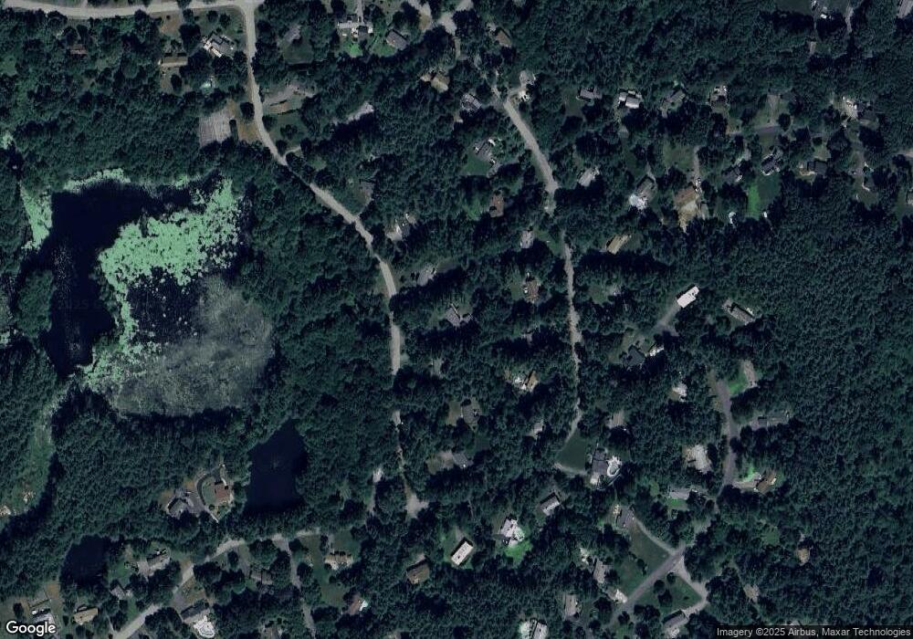
Map
Nearby Homes
- 184 Old Bolton Rd
- 13 Pine Hill Way
- 207 Boxboro Rd
- 14 Pine Hill Way
- 16 A Pine Hill Way Unit 16AA
- 18 B Pine Hill Way Unit BB
- 76 Bolton Woods Way
- 9 Cortland Dr Unit 9
- 30-6 Taylor Rd
- 51 Heather Ln Unit 51
- 28 Mcintosh Dr Unit 22
- 68 Hudson Rd
- 1155 Burroughs Rd
- 94 Hudson Rd
- 310 Codman Hill Rd Unit 35D
- 143 Hudson Rd
- 15 Crescent St
- 90 Corn Rd
- 96 Cedarwood Rd
- 98 Meadow Rd