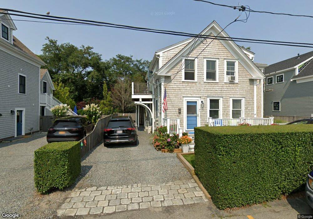
27 Conant St Unit 1 Provincetown, MA 02657
Estimated Value: $1,172,000 - $1,349,000
2
Beds
1
Bath
667
Sq Ft
$1,911/Sq Ft
Est. Value
About This Home
This home is located at 27 Conant St Unit 1, Provincetown, MA 02657 and is currently estimated at $1,274,631, approximately $1,910 per square foot. 27 Conant St Unit 1 is a home located in Barnstable County with nearby schools including Provincetown Schools.
Ownership History
Date
Name
Owned For
Owner Type
Purchase Details
Closed on
Jan 10, 2022
Sold by
Cooper Michael J and Hakan-Sjoo Lars
Bought by
Cooper Michael J
Current Estimated Value
Home Financials for this Owner
Home Financials are based on the most recent Mortgage that was taken out on this home.
Original Mortgage
$500,000
Outstanding Balance
$460,873
Interest Rate
3.12%
Mortgage Type
Credit Line Revolving
Estimated Equity
$813,758
Purchase Details
Closed on
Oct 2, 2009
Sold by
Nicolau David M
Bought by
Cooper Michael J and Sjoo Lars Hakan
Home Financials for this Owner
Home Financials are based on the most recent Mortgage that was taken out on this home.
Original Mortgage
$339,000
Interest Rate
5.12%
Mortgage Type
Purchase Money Mortgage
Create a Home Valuation Report for This Property
The Home Valuation Report is an in-depth analysis detailing your home's value as well as a comparison with similar homes in the area
Home Values in the Area
Average Home Value in this Area
Purchase History
| Date | Buyer | Sale Price | Title Company |
|---|---|---|---|
| Cooper Michael J | $412,622 | None Available | |
| Cooper Michael J | $412,622 | None Available | |
| Cooper Michael J | $452,000 | -- | |
| Cooper Michael J | $452,000 | -- |
Source: Public Records
Mortgage History
| Date | Status | Borrower | Loan Amount |
|---|---|---|---|
| Open | Cooper Michael J | $500,000 | |
| Closed | Cooper Michael J | $500,000 | |
| Previous Owner | Cooper Michael J | $340,000 | |
| Previous Owner | Cooper Michael J | $339,000 |
Source: Public Records
Tax History Compared to Growth
Tax History
| Year | Tax Paid | Tax Assessment Tax Assessment Total Assessment is a certain percentage of the fair market value that is determined by local assessors to be the total taxable value of land and additions on the property. | Land | Improvement |
|---|---|---|---|---|
| 2025 | $6,686 | $1,194,000 | $0 | $1,194,000 |
| 2024 | $6,289 | $1,127,000 | $0 | $1,127,000 |
| 2023 | $5,970 | $998,400 | $0 | $998,400 |
| 2022 | $6,304 | $946,600 | $0 | $946,600 |
| 2021 | $6,092 | $860,500 | $0 | $860,500 |
| 2020 | $5,666 | $855,900 | $0 | $855,900 |
| 2019 | $5,704 | $808,000 | $0 | $808,000 |
| 2018 | $4,068 | $546,000 | $0 | $546,000 |
| 2017 | $4,049 | $525,200 | $0 | $525,200 |
| 2016 | $3,961 | $507,800 | $0 | $507,800 |
| 2015 | $3,571 | $483,900 | $0 | $483,900 |
Source: Public Records
Map
Nearby Homes
- 15 Montello St Unit 3
- 3 Atlantic Ave
- 7 Kings Way
- 7 Central St
- 134 Commercial St
- 25 Winthrop St Unit 2
- 162 Commercial St
- 155 Commercial St Unit 4
- 147 Commercial St Unit L7
- 36 Shank Painter Rd Unit 11
- 118 Commercial St Unit U118
- 165 Commercial St Unit 4
- 22 Brown St
- 10 Bradford St Unit 2
- 10 Bradford St Unit 3
- 10 Bradford St Unit 4
- 44 Franklin St
- 176 Commercial St Unit 2
- 167 Commercial St Unit 2
- 27 Conant St Unit 2
- 27 Conant St
- 25 Conant St
- 29 Conant St
- 29 Conant St Unit 3
- 29 Conant St Unit 1
- 29 Conant St Unit 2
- 26 Conant St
- 23 Conant St Unit 5
- 23 Conant St Unit 4
- 23 Conant St Unit 3
- 23 Conant St Unit 2
- 23 Conant St Unit 1
- 24 Conant St
- 31 Conant St
- 19 Montello St
- 19 Montello St Unit 1 + 2
- 19 Montello St Unit 1
- 28 Conant St
- 21 Montello St