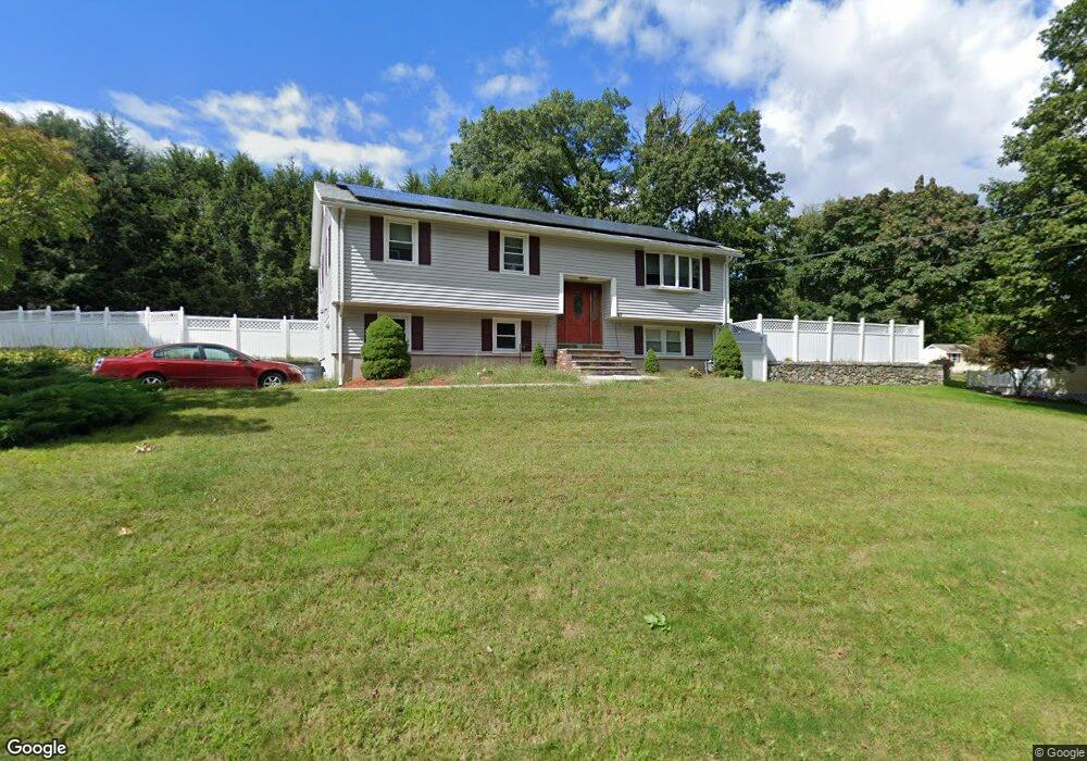
27 Conte Dr Methuen, MA 01844
The West End NeighborhoodEstimated Value: $620,554 - $694,000
3
Beds
2
Baths
1,860
Sq Ft
$358/Sq Ft
Est. Value
About This Home
This home is located at 27 Conte Dr, Methuen, MA 01844 and is currently estimated at $665,139, approximately $357 per square foot. 27 Conte Dr is a home located in Essex County with nearby schools including Marsh Grammar School, South Point Elementary School, and Methuen High School.
Ownership History
Date
Name
Owned For
Owner Type
Purchase Details
Closed on
Aug 28, 2008
Sold by
Mccarthy Kristopher and Mccarthy Dana
Bought by
Pitari Gerard D and Pitari Kerri
Current Estimated Value
Home Financials for this Owner
Home Financials are based on the most recent Mortgage that was taken out on this home.
Original Mortgage
$284,000
Outstanding Balance
$185,250
Interest Rate
6.29%
Mortgage Type
Purchase Money Mortgage
Estimated Equity
$479,889
Purchase Details
Closed on
Nov 30, 1993
Sold by
Deluca Anthony
Bought by
Mccarthy Kristopher
Home Financials for this Owner
Home Financials are based on the most recent Mortgage that was taken out on this home.
Original Mortgage
$117,800
Interest Rate
6.72%
Mortgage Type
Purchase Money Mortgage
Create a Home Valuation Report for This Property
The Home Valuation Report is an in-depth analysis detailing your home's value as well as a comparison with similar homes in the area
Home Values in the Area
Average Home Value in this Area
Purchase History
| Date | Buyer | Sale Price | Title Company |
|---|---|---|---|
| Pitari Gerard D | $355,000 | -- | |
| Pitari Gerard D | $355,000 | -- | |
| Mccarthy Kristopher | $124,000 | -- | |
| Mccarthy Kristopher | $124,000 | -- |
Source: Public Records
Mortgage History
| Date | Status | Borrower | Loan Amount |
|---|---|---|---|
| Open | Pitari Gerard D | $284,000 | |
| Closed | Mccarthy Kristopher | $284,000 | |
| Previous Owner | Mccarthy Kristopher | $117,800 |
Source: Public Records
Tax History Compared to Growth
Tax History
| Year | Tax Paid | Tax Assessment Tax Assessment Total Assessment is a certain percentage of the fair market value that is determined by local assessors to be the total taxable value of land and additions on the property. | Land | Improvement |
|---|---|---|---|---|
| 2025 | $5,698 | $538,600 | $247,000 | $291,600 |
| 2024 | $5,723 | $527,000 | $224,600 | $302,400 |
| 2023 | $5,430 | $464,100 | $200,500 | $263,600 |
| 2022 | $5,134 | $393,400 | $160,400 | $233,000 |
| 2021 | $4,882 | $370,100 | $152,400 | $217,700 |
| 2020 | $4,852 | $361,000 | $152,400 | $208,600 |
| 2019 | $4,782 | $337,000 | $144,400 | $192,600 |
| 2018 | $4,631 | $324,500 | $144,400 | $180,100 |
| 2017 | $4,477 | $305,600 | $144,400 | $161,200 |
| 2016 | $4,431 | $299,200 | $144,400 | $154,800 |
| 2015 | $4,323 | $296,100 | $144,400 | $151,700 |
Source: Public Records
Map
Nearby Homes
- 2 Sugar Hill Cir
- 14 Tyler St
- 38 Butternut Ln
- 1 Tilbury Rd
- 14 Youngfarm Rd
- 86 Butternut Ln
- 90 Butternut Ln
- 492 Lowell St
- 73 Myrtle St
- 100 Salem Rd
- 5 Bailey Rd
- 11 Vineyard Ln Unit 11
- 50 & 51 Jane St
- 362 Lowell St
- 65 Clayton Ave
- 128 West St
- 35 Memorial Dr
- 351 Peters Pond Dr
- 1 Bridle Path Ln
- 44 Hopkins Cir Unit 44