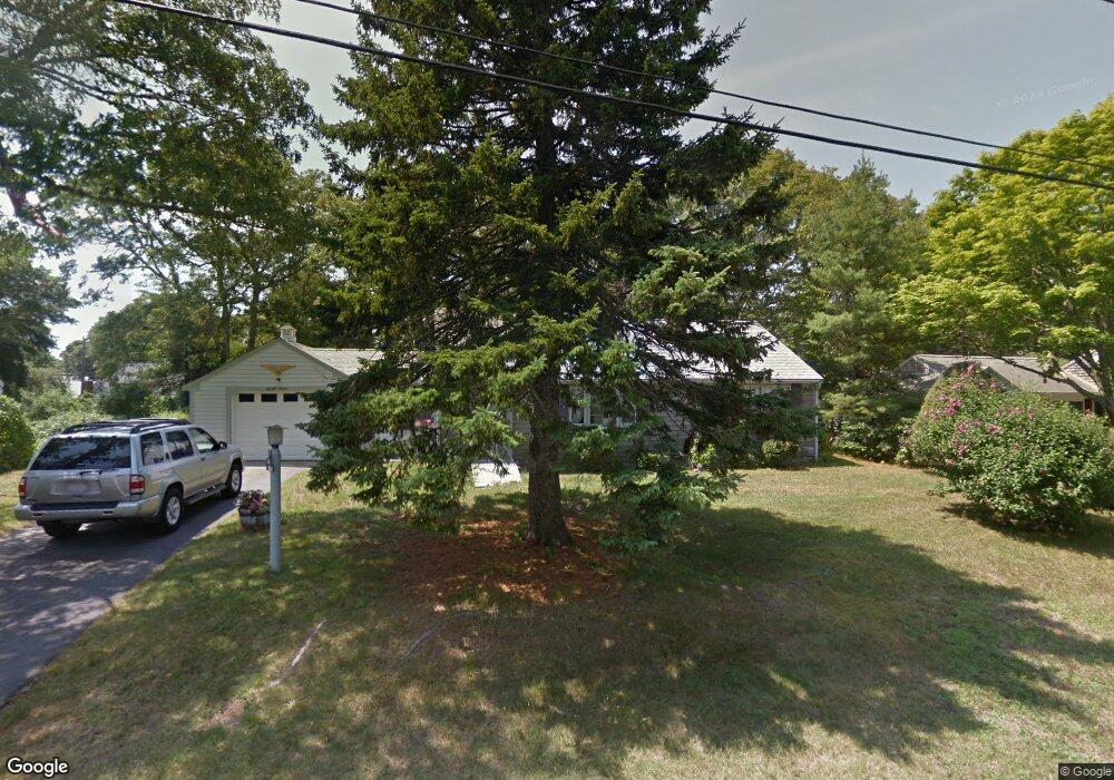
27 Craig Rd West Dennis, MA 02670
West Dennis NeighborhoodEstimated Value: $529,000 - $608,664
2
Beds
1
Bath
1,220
Sq Ft
$458/Sq Ft
Est. Value
About This Home
This home is located at 27 Craig Rd, West Dennis, MA 02670 and is currently estimated at $558,166, approximately $457 per square foot. 27 Craig Rd is a home located in Barnstable County with nearby schools including Dennis-Yarmouth Regional High School and St. Pius X. School.
Ownership History
Date
Name
Owned For
Owner Type
Purchase Details
Closed on
May 3, 1996
Sold by
Greeley Irene T
Bought by
Greeley James T
Current Estimated Value
Home Financials for this Owner
Home Financials are based on the most recent Mortgage that was taken out on this home.
Original Mortgage
$50,000
Outstanding Balance
$2,802
Interest Rate
7.82%
Mortgage Type
Purchase Money Mortgage
Estimated Equity
$555,364
Create a Home Valuation Report for This Property
The Home Valuation Report is an in-depth analysis detailing your home's value as well as a comparison with similar homes in the area
Home Values in the Area
Average Home Value in this Area
Purchase History
| Date | Buyer | Sale Price | Title Company |
|---|---|---|---|
| Greeley James T | $85,000 | -- |
Source: Public Records
Mortgage History
| Date | Status | Borrower | Loan Amount |
|---|---|---|---|
| Open | Greeley James T | $50,000 |
Source: Public Records
Tax History Compared to Growth
Tax History
| Year | Tax Paid | Tax Assessment Tax Assessment Total Assessment is a certain percentage of the fair market value that is determined by local assessors to be the total taxable value of land and additions on the property. | Land | Improvement |
|---|---|---|---|---|
| 2025 | $2,520 | $582,000 | $224,100 | $357,900 |
| 2024 | $2,389 | $544,100 | $215,500 | $328,600 |
| 2023 | $2,310 | $494,600 | $195,900 | $298,700 |
| 2022 | $2,084 | $372,100 | $153,000 | $219,100 |
| 2021 | $200 | $332,700 | $149,900 | $182,800 |
| 2020 | $9,906 | $327,300 | $161,500 | $165,800 |
| 2019 | $1,979 | $320,800 | $169,600 | $151,200 |
| 2018 | $9,061 | $286,300 | $150,700 | $135,600 |
| 2017 | $8,818 | $281,900 | $150,700 | $131,200 |
| 2016 | $1,743 | $266,900 | $156,100 | $110,800 |
| 2015 | $1,716 | $268,100 | $156,100 | $112,000 |
| 2014 | $1,702 | $268,100 | $156,100 | $112,000 |
Source: Public Records
Map
Nearby Homes
- 61 Trotters Ln
- 467 Main St
- 15 Woodside Park Rd
- 401 Main St Unit 201
- 401 Main St Unit 101
- 178 School St
- 23 Doric Ave
- 12 Spoonbill Rd
- 3 Pinefield Ln
- 26 Center St
- 80 Michaels Ave
- 14 Schoolhouse Ln
- 209 Main St Unit 3
- 209 Main St Unit 6
- 209 Main St Unit 1
- 209 Main St Unit 2
- 209 Main St Unit 4
- 209 Main St Unit 5
- 6 Baker Way
- 95 Center St