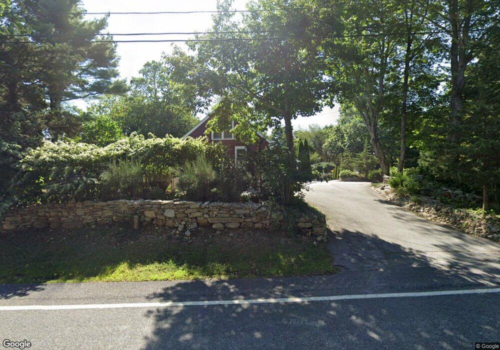
27 Crandall Rd Little Compton, RI 02837
Estimated Value: $718,540 - $918,000
3
Beds
1
Bath
1,954
Sq Ft
$426/Sq Ft
Est. Value
About This Home
This home is located at 27 Crandall Rd, Little Compton, RI 02837 and is currently estimated at $831,635, approximately $425 per square foot. 27 Crandall Rd is a home located in Newport County with nearby schools including Wilbur & McMahon School.
Ownership History
Date
Name
Owned For
Owner Type
Purchase Details
Closed on
Aug 1, 1994
Sold by
Stopka Stanley J and Stopka Dawn
Bought by
Callen Jeanne D
Current Estimated Value
Home Financials for this Owner
Home Financials are based on the most recent Mortgage that was taken out on this home.
Original Mortgage
$135,800
Interest Rate
8.25%
Mortgage Type
Purchase Money Mortgage
Purchase Details
Closed on
Dec 11, 1991
Sold by
Lheureux Diane
Bought by
Stopka Stanley
Create a Home Valuation Report for This Property
The Home Valuation Report is an in-depth analysis detailing your home's value as well as a comparison with similar homes in the area
Home Values in the Area
Average Home Value in this Area
Purchase History
| Date | Buyer | Sale Price | Title Company |
|---|---|---|---|
| Callen Jeanne D | $143,000 | -- | |
| Callen Jeanne D | $143,000 | -- | |
| Stopka Stanley | $183,000 | -- |
Source: Public Records
Mortgage History
| Date | Status | Borrower | Loan Amount |
|---|---|---|---|
| Open | Stopka Stanley | $325,000 | |
| Closed | Stopka Stanley | $60,000 | |
| Closed | Stopka Stanley | $168,750 | |
| Closed | Stopka Stanley | $135,800 |
Source: Public Records
Tax History Compared to Growth
Tax History
| Year | Tax Paid | Tax Assessment Tax Assessment Total Assessment is a certain percentage of the fair market value that is determined by local assessors to be the total taxable value of land and additions on the property. | Land | Improvement |
|---|---|---|---|---|
| 2025 | $2,623 | $547,700 | $196,500 | $351,200 |
| 2024 | $2,418 | $475,900 | $144,500 | $331,400 |
| 2023 | $2,360 | $475,900 | $144,500 | $331,400 |
| 2022 | $2,332 | $475,900 | $144,500 | $331,400 |
| 2021 | $2,103 | $348,100 | $125,600 | $222,500 |
| 2020 | $2,042 | $340,900 | $125,600 | $215,300 |
| 2019 | $1,873 | $315,800 | $125,600 | $190,200 |
| 2018 | $1,843 | $309,200 | $131,400 | $177,800 |
| 2016 | $1,753 | $309,200 | $131,400 | $177,800 |
| 2015 | $1,769 | $307,600 | $129,800 | $177,800 |
| 2014 | $1,735 | $307,600 | $129,800 | $177,800 |
Source: Public Records
Map
Nearby Homes
- 17 Quail Trail
- 184 Field Stone Ln
- 116 Amy Hart Path
- 90 Two Rod Rd
- 245 John Dyer Rd
- 0 S Lake Rd Unit 73361665
- 0 S Lake Rd Unit 1382842
- 0 S Lake Rd Unit 1400795
- 83 Long Hwy
- 101 Adamsville Rd
- 1346 Main Rd Unit B
- 255 John Dyer Rd
- 837 Main Rd
- 505 Long Hwy
- 8 Village Way
- 15 Village Way
- 7 Village Way
- 1580 Main Rd
- 19 Seabury Ln
- 978 Sodom Rd
- 31 Crandall Rd
- 2 Bramblewood Cross Rd
- 35 Crandall Rd
- 6 Bramblewood Cross Rd
- 3 Bramblewood Cross Rd
- 10 Bramblewood Cross Rd
- 39 Crandall Rd
- 14 Bramblewood Cross Rd
- 42C Crandall Rd
- 9 Bramblewood Cross Rd
- 78 Crandall Rd
- 15 Crandall Rd
- 18 Bramblewood Cross Rd
- 50 Crandall Rd
- 38 Crandall Rd
- 52 Crandall Rd
- 22 Bramblewood Cross Rd
- 54 Crandall Rd
- 3 Crandall Rd
- 9 Crandall Rd