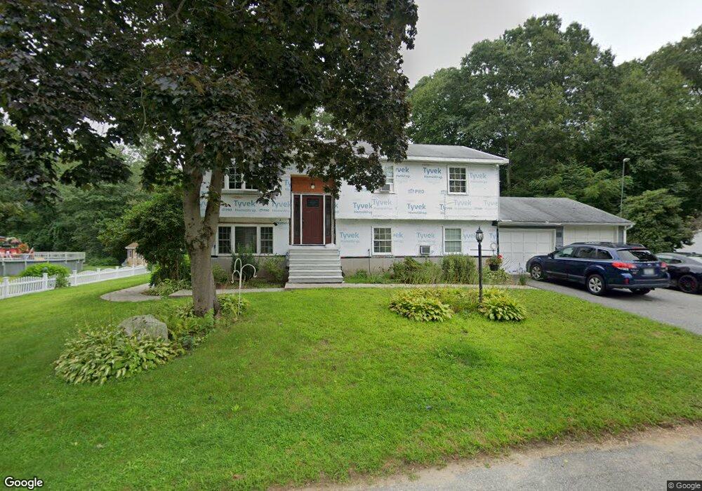
27 Cynthia Dr North Smithfield, RI 02896
Estimated Value: $413,769 - $582,000
2
Beds
2
Baths
994
Sq Ft
$494/Sq Ft
Est. Value
About This Home
This home is located at 27 Cynthia Dr, North Smithfield, RI 02896 and is currently estimated at $490,942, approximately $493 per square foot. 27 Cynthia Dr is a home located in Providence County with nearby schools including North Smithfield Elementary School, North Smithfield Middle School, and North Smithfield High School.
Ownership History
Date
Name
Owned For
Owner Type
Purchase Details
Closed on
Mar 2, 2011
Sold by
Ri Housing Mtg Finance
Bought by
Swanton John and Swanton Debra
Current Estimated Value
Purchase Details
Closed on
Jun 27, 2003
Sold by
Macwhirter Robert J
Bought by
Swanton John
Home Financials for this Owner
Home Financials are based on the most recent Mortgage that was taken out on this home.
Original Mortgage
$188,000
Interest Rate
5.53%
Mortgage Type
Purchase Money Mortgage
Create a Home Valuation Report for This Property
The Home Valuation Report is an in-depth analysis detailing your home's value as well as a comparison with similar homes in the area
Home Values in the Area
Average Home Value in this Area
Purchase History
| Date | Buyer | Sale Price | Title Company |
|---|---|---|---|
| Swanton John | -- | -- | |
| Swanton John | $265,000 | -- |
Source: Public Records
Mortgage History
| Date | Status | Borrower | Loan Amount |
|---|---|---|---|
| Previous Owner | Swanton John | $188,000 |
Source: Public Records
Tax History Compared to Growth
Tax History
| Year | Tax Paid | Tax Assessment Tax Assessment Total Assessment is a certain percentage of the fair market value that is determined by local assessors to be the total taxable value of land and additions on the property. | Land | Improvement |
|---|---|---|---|---|
| 2024 | $4,307 | $291,600 | $89,600 | $202,000 |
| 2023 | $4,155 | $291,600 | $89,600 | $202,000 |
| 2022 | $4,056 | $291,600 | $89,600 | $202,000 |
| 2021 | $3,945 | $242,200 | $72,600 | $169,600 |
| 2020 | $3,945 | $242,200 | $72,600 | $169,600 |
| 2019 | $3,844 | $242,200 | $72,600 | $169,600 |
| 2018 | $3,653 | $211,900 | $75,500 | $136,400 |
| 2017 | $3,564 | $211,900 | $75,500 | $136,400 |
| 2016 | $3,467 | $211,900 | $75,500 | $136,400 |
| 2015 | $3,369 | $202,000 | $72,700 | $129,300 |
| 2014 | $3,236 | $202,000 | $72,700 | $129,300 |
Source: Public Records
Map
Nearby Homes
- 4 Sharon Pkwy
- 12 Keough St
- 246 Saint Paul St
- 29 Graves Ave
- 81 Fountain St
- 175 Saint Paul St
- 5 Lincoln Dr
- 470 Saint Paul St
- 724 Fairmount St
- 22 Colerick Ave
- 1 Tupperware Dr Unit 226
- 1 Tupperware Dr Unit 138
- 1 Tupperware Dr Unit 108
- 235 6th Ave
- 517 Fairmount St
- 394 3rd Ave
- 290 3rd Ave
- 5 Branch Ave
- 122 Canal St
- 225-227 Main St
- 25 Cynthia Dr
- 27 Sharon Pkwy
- 24 Cynthia Dr
- 23 Cynthia Dr
- 28 Sharon Pkwy
- 22 Cynthia Dr
- 26 Sharon Pkwy
- 24 Sharon Pkwy
- 395 Mendon Rd Unit C1
- 395 Mendon Rd Unit A11
- 395 Mendon Rd Unit A12
- 395 Mendon Rd
- 3 Sharon Pkwy
- 197 Mendon Rd
- 21 Cynthia Dr
- 22 Sharon Pkwy
- 1 Sharon Pkwy
- 20 Cynthia Dr
- 20 Sharon Pkwy
- 19 Cynthia Dr