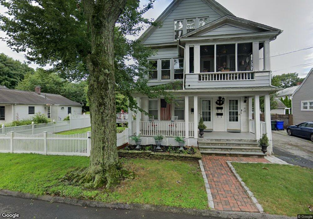
27 Dalewood Ave Fairfield, CT 06824
Fairfield Beach NeighborhoodEstimated Value: $534,419 - $914,000
5
Beds
3
Baths
3,053
Sq Ft
$239/Sq Ft
Est. Value
About This Home
This home is located at 27 Dalewood Ave, Fairfield, CT 06824 and is currently estimated at $728,355, approximately $238 per square foot. 27 Dalewood Ave is a home located in Fairfield County with nearby schools including Holland Hill Elementary, Fairfield Woods Middle School, and Fairfield Ludlowe High School.
Ownership History
Date
Name
Owned For
Owner Type
Purchase Details
Closed on
Mar 16, 1999
Sold by
Berzinskis Adeline
Bought by
Terek Peter T and Terek Carmella M
Current Estimated Value
Home Financials for this Owner
Home Financials are based on the most recent Mortgage that was taken out on this home.
Original Mortgage
$144,000
Interest Rate
6.73%
Create a Home Valuation Report for This Property
The Home Valuation Report is an in-depth analysis detailing your home's value as well as a comparison with similar homes in the area
Home Values in the Area
Average Home Value in this Area
Purchase History
| Date | Buyer | Sale Price | Title Company |
|---|---|---|---|
| Terek Peter T | $180,000 | -- | |
| Terek Peter T | $180,000 | -- |
Source: Public Records
Mortgage History
| Date | Status | Borrower | Loan Amount |
|---|---|---|---|
| Closed | Terek Peter T | $170,229 | |
| Closed | Terek Peter T | $144,000 |
Source: Public Records
Tax History Compared to Growth
Tax History
| Year | Tax Paid | Tax Assessment Tax Assessment Total Assessment is a certain percentage of the fair market value that is determined by local assessors to be the total taxable value of land and additions on the property. | Land | Improvement |
|---|---|---|---|---|
| 2025 | $9,464 | $333,340 | $163,380 | $169,960 |
| 2024 | $9,300 | $333,340 | $163,380 | $169,960 |
| 2023 | $9,170 | $333,340 | $163,380 | $169,960 |
| 2022 | $9,080 | $333,340 | $163,380 | $169,960 |
| 2021 | $8,994 | $333,340 | $163,380 | $169,960 |
| 2020 | $7,015 | $261,870 | $141,820 | $120,050 |
| 2019 | $7,015 | $261,870 | $141,820 | $120,050 |
| 2018 | $6,903 | $261,870 | $141,820 | $120,050 |
| 2017 | $6,761 | $261,870 | $141,820 | $120,050 |
| 2016 | $6,665 | $261,870 | $141,820 | $120,050 |
| 2015 | $6,351 | $256,200 | $147,000 | $109,200 |
| 2014 | $6,251 | $256,200 | $147,000 | $109,200 |
Source: Public Records
Map
Nearby Homes
- 2180 Kings Hwy Unit 1
- 122 Colony St
- 450 Davidson St
- 361 Riverside Dr
- 38 Edge Hill Rd
- 105 Fox St Unit 107
- 15 Barton Rd
- 117 Turney Rd
- 165 Bennett St
- 39 Jetland Place Unit 41
- 855 Brewster St Unit 857
- 133 Green Acre Ln
- 166 Alfred St
- 96 Clinton St
- 274 High St
- 554 Brewster St Unit 4
- 2773 Fairfield Ave Unit 3
- 51 Princeton St
- 37 Rowsley St Unit 6
- 75 Homestead Ave Unit 77
- 41 Dalewood Ave
- 15 Dalewood Ave
- 124 Grasmere Ave
- 51 Dalewood Ave
- 23 Ash St
- 34 Dalewood Ave
- 150 Grasmere Ave
- 140 Grasmere Ave
- 26 Dalewood Ave
- 120 Grasmere Ave
- 156 Grasmere Ave
- 25 Ash St
- 25 Ash St Unit 25
- 59 Dalewood Ave Unit 59
- 59 Dalewood Ave
- 57 Dalewood Ave
- 57 Dalewood Ave Unit 59
- 15 Ash St
- 108 Grasmere Ave
- 44 Dalewood Ave