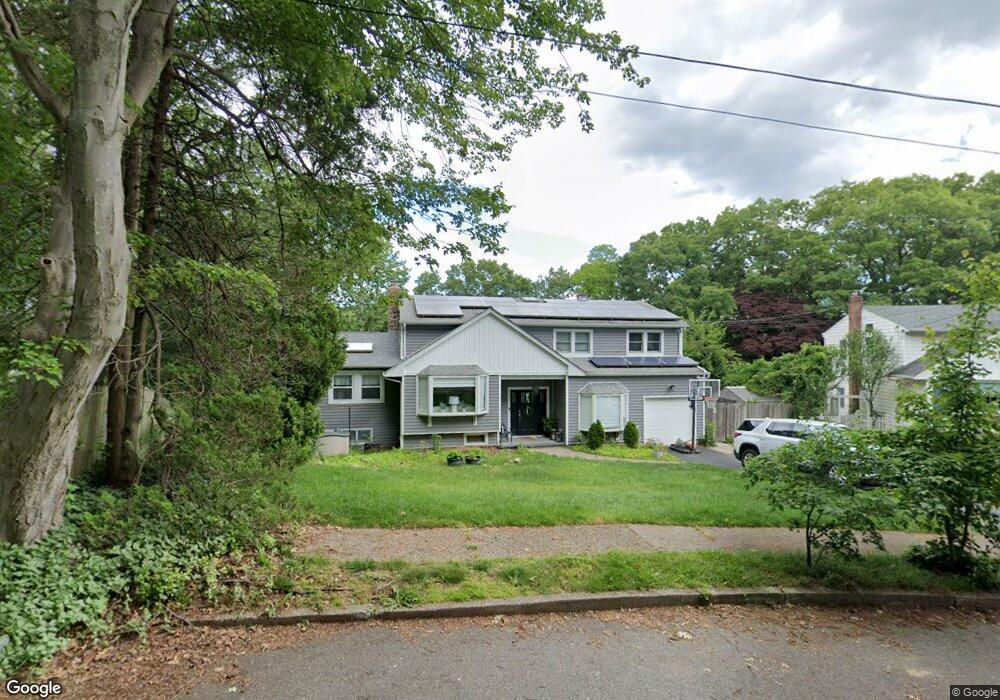
27 Dione Ln Hauppauge, NY 11788
Estimated Value: $807,000 - $842,000
5
Beds
2
Baths
2,283
Sq Ft
$361/Sq Ft
Est. Value
About This Home
This home is located at 27 Dione Ln, Hauppauge, NY 11788 and is currently estimated at $823,071, approximately $360 per square foot. 27 Dione Ln is a home located in Suffolk County with nearby schools including Hauppauge Middle School and Hauppauge High School.
Ownership History
Date
Name
Owned For
Owner Type
Purchase Details
Closed on
Jul 22, 2021
Sold by
Johnston Robert H and Johnston Dianna
Bought by
Tamayo Eric and Tamayo Ruth
Current Estimated Value
Home Financials for this Owner
Home Financials are based on the most recent Mortgage that was taken out on this home.
Original Mortgage
$520,000
Interest Rate
2.8%
Mortgage Type
Purchase Money Mortgage
Purchase Details
Closed on
Oct 5, 2004
Sold by
Howard Rita
Bought by
Johnston Robert
Purchase Details
Closed on
Oct 26, 1998
Sold by
Howard Rita
Bought by
Howard Rita and Howard Joseph F
Create a Home Valuation Report for This Property
The Home Valuation Report is an in-depth analysis detailing your home's value as well as a comparison with similar homes in the area
Home Values in the Area
Average Home Value in this Area
Purchase History
| Date | Buyer | Sale Price | Title Company |
|---|---|---|---|
| Tamayo Eric | $650,000 | None Available | |
| Johnston Robert | $529,000 | Joel A Sweetbaum | |
| Howard Rita | -- | -- |
Source: Public Records
Mortgage History
| Date | Status | Borrower | Loan Amount |
|---|---|---|---|
| Previous Owner | Tamayo Eric | $520,000 |
Source: Public Records
Tax History Compared to Growth
Tax History
| Year | Tax Paid | Tax Assessment Tax Assessment Total Assessment is a certain percentage of the fair market value that is determined by local assessors to be the total taxable value of land and additions on the property. | Land | Improvement |
|---|---|---|---|---|
| 2024 | $12,276 | $54,200 | $10,900 | $43,300 |
| 2023 | $12,276 | $54,200 | $10,900 | $43,300 |
| 2022 | $9,100 | $54,200 | $10,900 | $43,300 |
| 2021 | $9,100 | $53,000 | $10,900 | $42,100 |
| 2020 | $9,371 | $53,000 | $10,900 | $42,100 |
| 2019 | $9,100 | $53,000 | $10,900 | $42,100 |
| 2018 | -- | $53,000 | $10,900 | $42,100 |
| 2017 | $9,608 | $53,000 | $10,900 | $42,100 |
| 2016 | $9,217 | $53,000 | $10,900 | $42,100 |
| 2015 | -- | $53,000 | $10,900 | $42,100 |
| 2014 | -- | $53,000 | $10,900 | $42,100 |
Source: Public Records
Map
Nearby Homes
- 6 Rolling Wood Ct
- 11 Joyce Dr
- 23 Ridge Ct
- 126 Roosevelt Blvd
- 246 Roosevelt Blvd
- 43 Harrison Ave
- 0 Bridge Rd Unit KEY814925
- 3 Milford Dr
- 1010 Motor Pkwy
- 375 Oakland Ave
- 154 Mac Arthur Blvd
- 385 Salem Ct
- 123 Feller Dr
- 229 Feller Dr
- 87 Columbus Ave
- 346 Ridgefield Rd
- 228 Feller Dr
- 288 Feller Dr
- 11 Mcgowan Ln
- 57 Adams Rd Unit 1H