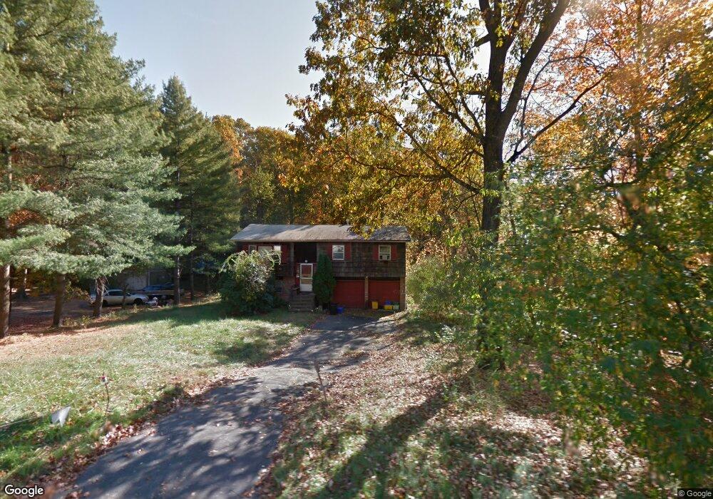
27 Dolson Rd Monsey, NY 10952
Estimated Value: $825,589 - $2,306,000
4
Beds
3
Baths
1,824
Sq Ft
$835/Sq Ft
Est. Value
About This Home
This home is located at 27 Dolson Rd, Monsey, NY 10952 and is currently estimated at $1,522,397, approximately $834 per square foot. 27 Dolson Rd is a home located in Rockland County with nearby schools including Margetts Elementary School, Chestnut Ridge Middle School, and Spring Valley High School.
Ownership History
Date
Name
Owned For
Owner Type
Purchase Details
Closed on
Nov 4, 2021
Sold by
Berkowitz Yoel and Berkowitz Faigie B
Bought by
Fisher Menachem
Current Estimated Value
Purchase Details
Closed on
Feb 13, 2020
Sold by
Berkowitz Yoel
Bought by
Berkowitz Yoel and Berkowitz Faigie B
Purchase Details
Closed on
Nov 15, 2019
Sold by
Gottdiener Heshy
Bought by
Berkowitz Yoel
Purchase Details
Closed on
Jun 19, 2017
Sold by
Dolson 27 Llc
Bought by
Gottdiener Heshy
Home Financials for this Owner
Home Financials are based on the most recent Mortgage that was taken out on this home.
Original Mortgage
$424,100
Interest Rate
4.02%
Mortgage Type
New Conventional
Purchase Details
Closed on
Dec 29, 2016
Sold by
Drelich Mark A and The Estate Of Pincus Drelich
Bought by
Dolson 27 Llc
Create a Home Valuation Report for This Property
The Home Valuation Report is an in-depth analysis detailing your home's value as well as a comparison with similar homes in the area
Home Values in the Area
Average Home Value in this Area
Purchase History
| Date | Buyer | Sale Price | Title Company |
|---|---|---|---|
| Fisher Menachem | -- | Commonwealth Land Title | |
| Berkowitz Yoel | -- | Commonwealth Land Title | |
| Berkowitz Yoel | $141,331 | Commonwealth Land Title | |
| Gottdiener Heshy | $24,000 | None Available | |
| Dolson 27 Llc | $462,000 | None Available |
Source: Public Records
Mortgage History
| Date | Status | Borrower | Loan Amount |
|---|---|---|---|
| Previous Owner | Gottdiener Heshy | $424,100 |
Source: Public Records
Tax History
| Year | Tax Paid | Tax Assessment Tax Assessment Total Assessment is a certain percentage of the fair market value that is determined by local assessors to be the total taxable value of land and additions on the property. | Land | Improvement |
|---|---|---|---|---|
| 2022 | $11,964 | $92,300 | $16,200 | $76,100 |
| 2021 | $11,964 | $53,500 | $16,200 | $37,300 |
| 2020 | $12,047 | $49,700 | $16,200 | $33,500 |
| 2019 | $18,985 | $49,700 | $16,200 | $33,500 |
| 2018 | $18,985 | $49,700 | $16,200 | $33,500 |
| 2017 | $12,102 | $49,700 | $16,200 | $33,500 |
| 2016 | $10,975 | $49,700 | $16,200 | $33,500 |
| 2015 | -- | $49,700 | $16,200 | $33,500 |
| 2014 | -- | $49,700 | $16,200 | $33,500 |
Source: Public Records
Map
Nearby Homes
- 188 Bates Dr
- 103-105 Bates Dr
- 60 Highview Rd
- 11 Golar Dr
- 4 Hilltop Place
- 84 College Rd
- 105 Grove St Unit 202
- 9 Wendover Ln
- 305 S Grandview Ave
- 93 College Rd
- 17 E Stemmer Ln
- 11 Emes Ln
- 21 Briarcliff Dr
- 33 Briarcliff Dr
- 21 Besen Pkwy
- 16 Silverwood Cir
- 7 Woodland Place
- 24 Hilltop Ln
- 104 W Maple Ave
- 28 Silverwood Cir
Your Personal Tour Guide
Ask me questions while you tour the home.