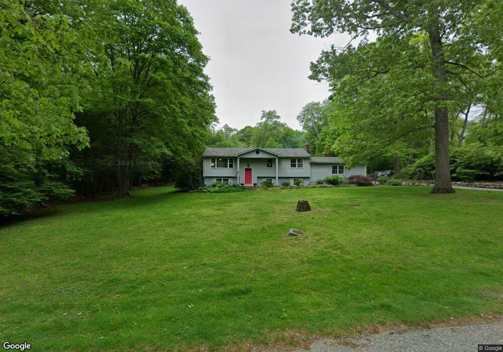
27 Doolittle Rd Preston, CT 06365
Estimated Value: $312,000 - $386,000
3
Beds
2
Baths
1,100
Sq Ft
$327/Sq Ft
Est. Value
About This Home
This home is located at 27 Doolittle Rd, Preston, CT 06365 and is currently estimated at $359,545, approximately $326 per square foot. 27 Doolittle Rd is a home located in New London County.
Ownership History
Date
Name
Owned For
Owner Type
Purchase Details
Closed on
Nov 12, 2002
Sold by
Rosetta Donald B and Kramer Cheryl
Bought by
Chowski Zbignien W and Chowski Paula Wojcie
Current Estimated Value
Purchase Details
Closed on
Oct 30, 1997
Sold by
Wilson Arthur J and Wilson Mary E
Bought by
Usa Va
Purchase Details
Closed on
Jan 30, 1992
Sold by
Diel Paul and Diel Barbara
Bought by
Wilson Arthur and Wilson Mary
Create a Home Valuation Report for This Property
The Home Valuation Report is an in-depth analysis detailing your home's value as well as a comparison with similar homes in the area
Home Values in the Area
Average Home Value in this Area
Purchase History
| Date | Buyer | Sale Price | Title Company |
|---|---|---|---|
| Chowski Zbignien W | $157,000 | -- | |
| Usa Va | $111,536 | -- | |
| Wilson Arthur | $150,000 | -- |
Source: Public Records
Mortgage History
| Date | Status | Borrower | Loan Amount |
|---|---|---|---|
| Open | Wilson Arthur | $242,250 | |
| Closed | Wilson Arthur | $208,250 | |
| Closed | Wilson Arthur | $171,500 |
Source: Public Records
Tax History
| Year | Tax Paid | Tax Assessment Tax Assessment Total Assessment is a certain percentage of the fair market value that is determined by local assessors to be the total taxable value of land and additions on the property. | Land | Improvement |
|---|---|---|---|---|
| 2025 | $4,477 | $178,290 | $49,070 | $129,220 |
| 2024 | $4,167 | $178,290 | $49,070 | $129,220 |
| 2023 | $4,092 | $178,290 | $49,070 | $129,220 |
| 2022 | $3,262 | $117,000 | $42,700 | $74,300 |
| 2021 | $3,152 | $117,000 | $42,700 | $74,300 |
| 2020 | $3,147 | $117,000 | $42,700 | $74,300 |
| 2019 | $3,092 | $117,000 | $42,700 | $74,300 |
| 2018 | $3,046 | $117,000 | $42,700 | $74,300 |
| 2017 | $2,837 | $118,200 | $42,700 | $75,500 |
| 2016 | $2,807 | $118,200 | $42,700 | $75,500 |
| 2015 | $2,719 | $118,200 | $42,700 | $75,500 |
| 2014 | $2,735 | $118,200 | $42,700 | $75,500 |
Source: Public Records
Map
Nearby Homes
- 31 Branch Hill Rd
- 381 Route 2
- 256 Route 2
- 15 Paster Rd
- 7 Halls Mill Rd
- 991 Shewville Rd
- 121 Watson Rd
- 36 Route 2a
- 14 Abbey Rd
- 16 Abbey Rd
- 6 Lake of Isles Rd
- 4 Lake of Isles Rd
- 104 Route 2a
- 36 NW Corner Rd
- 25 Coachman Pike
- 57 NW Corner Rd
- 19 Cedarcrest Dr
- 11 Willow Ln
- 105 Stonington Rd
- 0 Lake of Isles Rd Unit 170371521
Your Personal Tour Guide
Ask me questions while you tour the home.