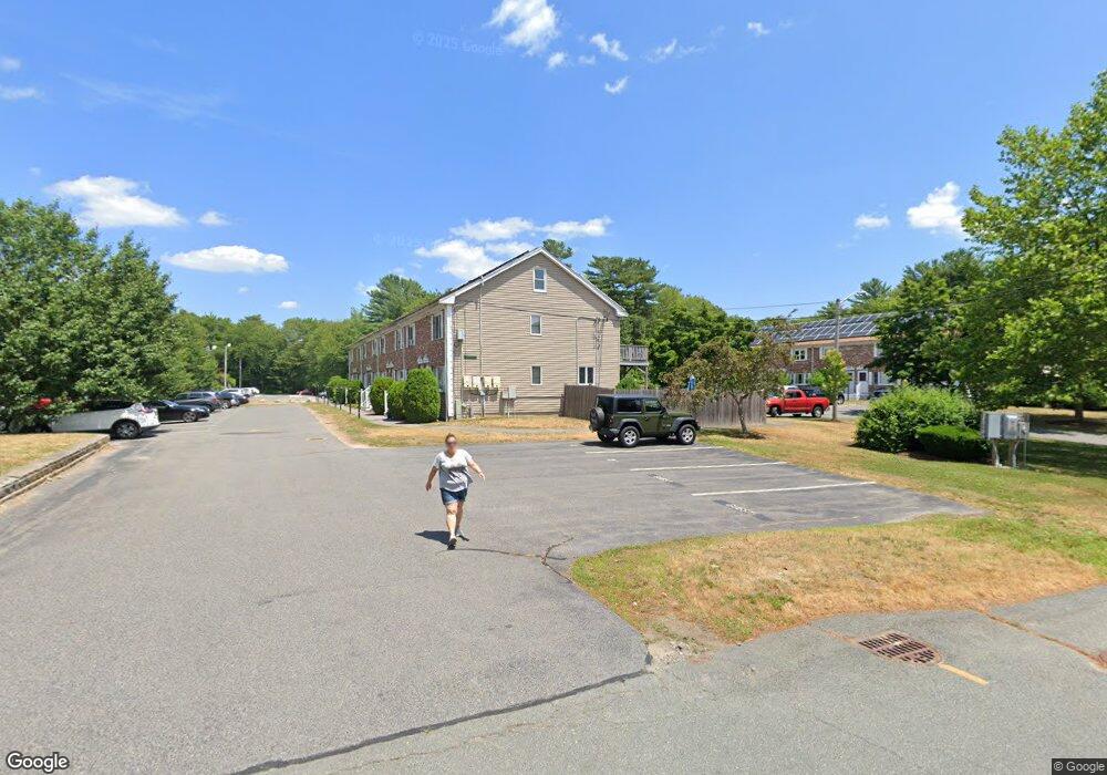
27 Douglas Dr East Bridgewater, MA 02333
Estimated Value: $366,000 - $386,000
2
Beds
2
Baths
1,152
Sq Ft
$327/Sq Ft
Est. Value
About This Home
This home is located at 27 Douglas Dr, East Bridgewater, MA 02333 and is currently estimated at $377,227, approximately $327 per square foot. 27 Douglas Dr is a home located in Plymouth County with nearby schools including Gordon W Mitchell Middle School and East Bridgewater Jr./Sr. High School.
Ownership History
Date
Name
Owned For
Owner Type
Purchase Details
Closed on
Nov 30, 2023
Sold by
Kerr Donald Francis Est and Petronio
Bought by
Petronio Dylan
Current Estimated Value
Home Financials for this Owner
Home Financials are based on the most recent Mortgage that was taken out on this home.
Original Mortgage
$159,600
Outstanding Balance
$156,752
Interest Rate
7.63%
Mortgage Type
Purchase Money Mortgage
Estimated Equity
$220,475
Purchase Details
Closed on
Nov 21, 1986
Bought by
Kerr Donald F
Create a Home Valuation Report for This Property
The Home Valuation Report is an in-depth analysis detailing your home's value as well as a comparison with similar homes in the area
Home Values in the Area
Average Home Value in this Area
Purchase History
| Date | Buyer | Sale Price | Title Company |
|---|---|---|---|
| Petronio Dylan | $168,000 | None Available | |
| Kerr Donald F | -- | -- |
Source: Public Records
Mortgage History
| Date | Status | Borrower | Loan Amount |
|---|---|---|---|
| Open | Petronio Dylan | $159,600 | |
| Previous Owner | Kerr Donald F | $110,000 | |
| Previous Owner | Kerr Donald F | $120,000 | |
| Previous Owner | Kerr Donald F | $80,000 |
Source: Public Records
Tax History Compared to Growth
Tax History
| Year | Tax Paid | Tax Assessment Tax Assessment Total Assessment is a certain percentage of the fair market value that is determined by local assessors to be the total taxable value of land and additions on the property. | Land | Improvement |
|---|---|---|---|---|
| 2025 | $4,105 | $300,300 | $0 | $300,300 |
| 2024 | $3,937 | $284,500 | $0 | $284,500 |
| 2023 | $3,696 | $255,800 | $0 | $255,800 |
| 2022 | $3,483 | $223,300 | $0 | $223,300 |
| 2021 | $3,398 | $199,300 | $0 | $199,300 |
| 2020 | $3,365 | $194,600 | $0 | $194,600 |
| 2019 | $3,159 | $179,900 | $0 | $179,900 |
| 2018 | $2,913 | $162,200 | $0 | $162,200 |
| 2017 | $2,725 | $148,900 | $0 | $148,900 |
| 2016 | $2,628 | $144,700 | $0 | $144,700 |
| 2015 | $2,700 | $152,000 | $0 | $152,000 |
| 2014 | $2,618 | $150,700 | $0 | $150,700 |
Source: Public Records
Map
Nearby Homes
- 1 Robins St Unit 1
- 96 Trailwood Dr
- 24 High Pond Dr
- 67 Country Dr
- 23 Stone Meadow Dr
- 1993 Washington St
- 114 Plain St
- 148 Lot 1a Elm St
- 1 Lamppost Dr
- 74 Magnolia Way
- 10 Eliab Latham Way
- Lot 1 Mill St
- 780 Old Plymouth St
- 4 Sycamore Ln
- 477 Cherry St
- 0 Three Rivers Dr
- 2 Lydon Ln Unit A1
- 199 Cherry St
- 865 Plymouth St Unit 865
- 26 Old Summit St
- 31 Douglas Dr
- 29 Douglas Dr
- 25 Douglas Dr
- 23 Douglas Dr
- 21 Douglas Dr
- 19 Douglas Dr
- 17 Douglas Dr
- 17 Douglas Dr Unit 17
- 31 Douglas Dr Unit 104/31
- 31 Douglas Dr Unit 31
- 23 Douglas Dr Unit 23
- 17 Douglas Dr Unit 17 - 13
- 23 Douglas Dr Unit 100
- 25 Douglas Dr Unit 25
- 31 Doulgas Unit 31
- 32 Andrew Rd
- 30 Andrew Rd
- 28 Andrew Rd
- 26 Andrew Rd
- 24 Andrew Rd