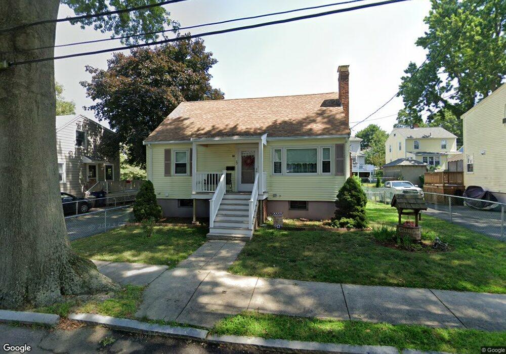
27 Dow Rd West Roxbury, MA 02132
West Roxbury NeighborhoodEstimated Value: $579,000 - $776,371
3
Beds
3
Baths
1,414
Sq Ft
$499/Sq Ft
Est. Value
About This Home
This home is located at 27 Dow Rd, West Roxbury, MA 02132 and is currently estimated at $705,343, approximately $498 per square foot. 27 Dow Rd is a home located in Suffolk County with nearby schools including St Theresa School, Catholic Memorial School, and The Roxbury Latin School.
Ownership History
Date
Name
Owned For
Owner Type
Purchase Details
Closed on
Jun 18, 2021
Sold by
Kenney Ft
Bought by
Browne Ian and Browne Amy E
Current Estimated Value
Purchase Details
Closed on
Dec 28, 2015
Sold by
Kenney Edward P
Bought by
Kenney Ft
Create a Home Valuation Report for This Property
The Home Valuation Report is an in-depth analysis detailing your home's value as well as a comparison with similar homes in the area
Home Values in the Area
Average Home Value in this Area
Purchase History
| Date | Buyer | Sale Price | Title Company |
|---|---|---|---|
| Browne Ian | $625,000 | None Available | |
| Kenney Ft | -- | -- |
Source: Public Records
Tax History Compared to Growth
Tax History
| Year | Tax Paid | Tax Assessment Tax Assessment Total Assessment is a certain percentage of the fair market value that is determined by local assessors to be the total taxable value of land and additions on the property. | Land | Improvement |
|---|---|---|---|---|
| 2025 | $6,909 | $596,600 | $188,100 | $408,500 |
| 2024 | $7,008 | $642,900 | $218,900 | $424,000 |
| 2023 | $6,577 | $612,400 | $208,500 | $403,900 |
| 2022 | $6,057 | $556,700 | $189,500 | $367,200 |
| 2021 | $5,631 | $527,700 | $185,800 | $341,900 |
| 2020 | $5,266 | $498,700 | $153,200 | $345,500 |
| 2019 | $5,004 | $474,800 | $128,500 | $346,300 |
| 2018 | $4,608 | $439,700 | $128,500 | $311,200 |
| 2017 | $4,563 | $430,900 | $128,500 | $302,400 |
| 2016 | $4,602 | $418,400 | $128,500 | $289,900 |
| 2015 | $4,673 | $385,900 | $150,200 | $235,700 |
| 2014 | $4,579 | $364,000 | $150,200 | $213,800 |
Source: Public Records
Map
Nearby Homes
- 349 Baker St Unit A
- 101 Chesbrough Rd
- 183 Temple St
- 381 Baker St
- 331 Vermont St
- 480 Baker St
- 100 Keith St
- 1216 Vfw Pkwy Unit 40
- 20 Tarleton Rd
- 1214 Vfw Pkwy Unit 37
- 9 Carroll St
- 539 Lagrange St
- 615 Lagrange St
- 79 Potomac St
- 27-29 Temple St
- 7 Cass St Unit 6
- 5 Crest St
- 15 Atlantis St
- 11 Cass St Unit 1
- 425 Lagrange St Unit 203