27 Duke Ln Lyman, ME 04002
Lyman NeighborhoodEstimated Value: $435,000 - $562,000
3
Beds
2
Baths
1,620
Sq Ft
$314/Sq Ft
Est. Value
About This Home
This home is located at 27 Duke Ln, Lyman, ME 04002 and is currently estimated at $508,539, approximately $313 per square foot. 27 Duke Ln is a home with nearby schools including Massabesic High School.
Ownership History
Date
Name
Owned For
Owner Type
Purchase Details
Closed on
Mar 3, 2023
Sold by
Phinney Amanda M
Bought by
Phinney Matthew W and Phinney Amanda M
Current Estimated Value
Home Financials for this Owner
Home Financials are based on the most recent Mortgage that was taken out on this home.
Original Mortgage
$295,000
Outstanding Balance
$285,105
Interest Rate
6.15%
Mortgage Type
Purchase Money Mortgage
Estimated Equity
$223,434
Purchase Details
Closed on
Jan 12, 2012
Sold by
Ireland Allen M and Ireland Elizabeth
Bought by
Michaud David and Michaud Debra
Create a Home Valuation Report for This Property
The Home Valuation Report is an in-depth analysis detailing your home's value as well as a comparison with similar homes in the area
Home Values in the Area
Average Home Value in this Area
Purchase History
| Date | Buyer | Sale Price | Title Company |
|---|---|---|---|
| Phinney Matthew W | -- | None Available | |
| Phinney Matthew W | -- | None Available | |
| Phinney Matthew W | -- | None Available | |
| Michaud David | -- | -- | |
| Michaud David | -- | -- | |
| Michaud David | -- | -- |
Source: Public Records
Mortgage History
| Date | Status | Borrower | Loan Amount |
|---|---|---|---|
| Open | Phinney Matthew W | $295,000 | |
| Closed | Phinney Matthew W | $295,000 |
Source: Public Records
Tax History Compared to Growth
Tax History
| Year | Tax Paid | Tax Assessment Tax Assessment Total Assessment is a certain percentage of the fair market value that is determined by local assessors to be the total taxable value of land and additions on the property. | Land | Improvement |
|---|---|---|---|---|
| 2024 | $4,363 | $346,000 | $79,000 | $267,000 |
| 2023 | $2,548 | $209,000 | $79,000 | $130,000 |
| 2022 | $2,457 | $210,000 | $80,000 | $130,000 |
| 2021 | $2,411 | $210,000 | $80,000 | $130,000 |
| 2020 | $3,927 | $223,000 | $77,000 | $146,000 |
| 2019 | $3,558 | $223,000 | $77,000 | $146,000 |
| 2018 | $2,263 | $187,000 | $64,000 | $123,000 |
| 2017 | $3,323 | $172,300 | $59,200 | $113,100 |
| 2015 | $2,137 | $172,300 | $59,200 | $113,100 |
| 2014 | $2,093 | $172,300 | $59,200 | $113,100 |
Source: Public Records
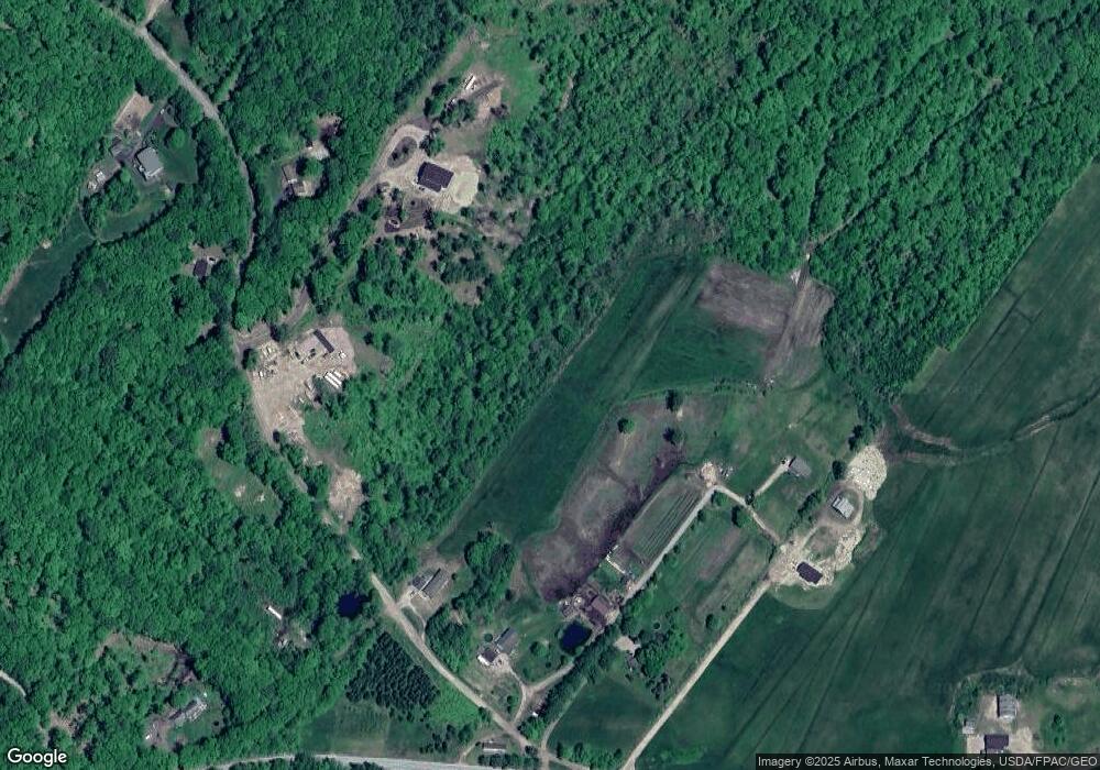
Map
Nearby Homes
- 149 Duke Ln
- 32 Conifer Dr
- 19 Day Rd
- Lot 1 Kennebunk Rd
- 7 Gardners Way
- 807 Alewive Rd
- 533 Kennebunk Rd
- 40 Oakwood St
- 214 Thompson Rd
- 2252 Alfred Rd
- 24 Middle Rd
- 233 Curtis Rd
- 10 Pinecone Dr
- 31 Sunset Ln
- 2 Carriage Way
- 2 Windsor Dr
- 330 Biddeford Rd
- 1 Robinson Way Unit B 91
- 1 Robinson Way Unit B75
- 22 Caya Ln Unit A