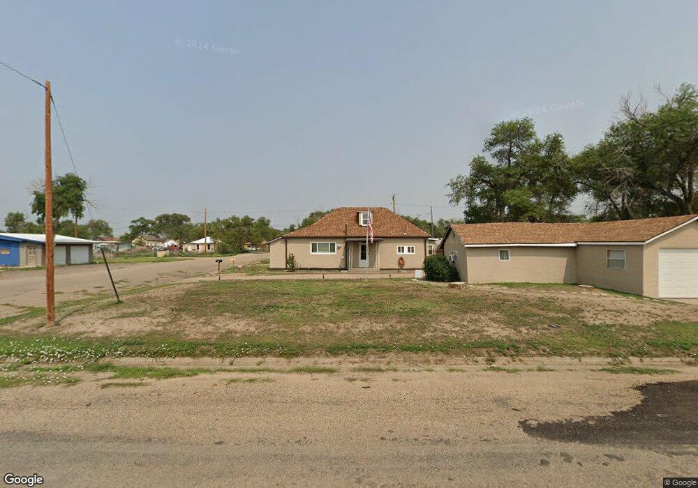
27 E 5th St Las Animas, CO 81054
Estimated Value: $83,000 - $169,000
4
Beds
1
Bath
1,316
Sq Ft
$99/Sq Ft
Est. Value
About This Home
This home is located at 27 E 5th St, Las Animas, CO 81054 and is currently estimated at $129,667, approximately $98 per square foot. 27 E 5th St is a home located in Bent County with nearby schools including Las Animas Elementary School, Las Animas Junior High School, and Las Animas High School.
Ownership History
Date
Name
Owned For
Owner Type
Purchase Details
Closed on
Apr 19, 2023
Sold by
High Prairie Homes Ok 1 Llc
Bought by
Southeast Colorado Enterprise Development Inc
Current Estimated Value
Purchase Details
Closed on
Sep 28, 2007
Sold by
Mckim Carol Anne and Kaminski Mary Margaret
Bought by
Gabehart Martin Wade
Home Financials for this Owner
Home Financials are based on the most recent Mortgage that was taken out on this home.
Original Mortgage
$36,774
Interest Rate
6.66%
Mortgage Type
VA
Create a Home Valuation Report for This Property
The Home Valuation Report is an in-depth analysis detailing your home's value as well as a comparison with similar homes in the area
Purchase History
| Date | Buyer | Sale Price | Title Company |
|---|---|---|---|
| Southeast Colorado Enterprise Development Inc | $199,000 | None Listed On Document | |
| Gabehart Martin Wade | $36,000 | -- |
Source: Public Records
Mortgage History
| Date | Status | Borrower | Loan Amount |
|---|---|---|---|
| Previous Owner | Gabehart Martin Wade | $36,774 |
Source: Public Records
Tax History
| Year | Tax Paid | Tax Assessment Tax Assessment Total Assessment is a certain percentage of the fair market value that is determined by local assessors to be the total taxable value of land and additions on the property. | Land | Improvement |
|---|---|---|---|---|
| 2024 | $63 | $1,000 | $51 | $949 |
| 2023 | $116 | $1,002 | $53 | $949 |
| 2022 | $266 | $3,350 | $170 | $3,180 |
| 2021 | $267 | $2,483 | $125 | $2,358 |
| 2020 | $232 | $2,158 | $125 | $2,033 |
| 2019 | $236 | $2,158 | $125 | $2,033 |
| 2018 | $236 | $2,174 | $126 | $2,048 |
| 2017 | $238 | $2,174 | $126 | $2,048 |
| 2016 | $247 | $2,266 | $139 | $2,127 |
| 2015 | -- | $2,266 | $139 | $2,127 |
| 2014 | -- | $2,266 | $139 | $2,127 |
| 2013 | -- | $2,266 | $139 | $2,127 |
Source: Public Records
Map
Nearby Homes
- 535 Moore Ave
- 626 St Vrain Ave
- 626 St Vrain St
- 629 St Vrain Ave
- 312 Carson Ave
- 940 Carson Ave
- 621 Carson Ave
- 509 5th St
- 1032 Locust Ave
- 1046 Locust Ave
- 415 9th St
- 705 Locust Ave
- 433 Grove Ave
- 1103 Ambassador Thompson Blvd
- 651 Ash Ave
- 426 Poplar Ave
- 0 Cr Ff 5
- 10928 Us Highway 50
- 606 Hurd Ave
- 10525 County Rd Ee
Your Personal Tour Guide
Ask me questions while you tour the home.