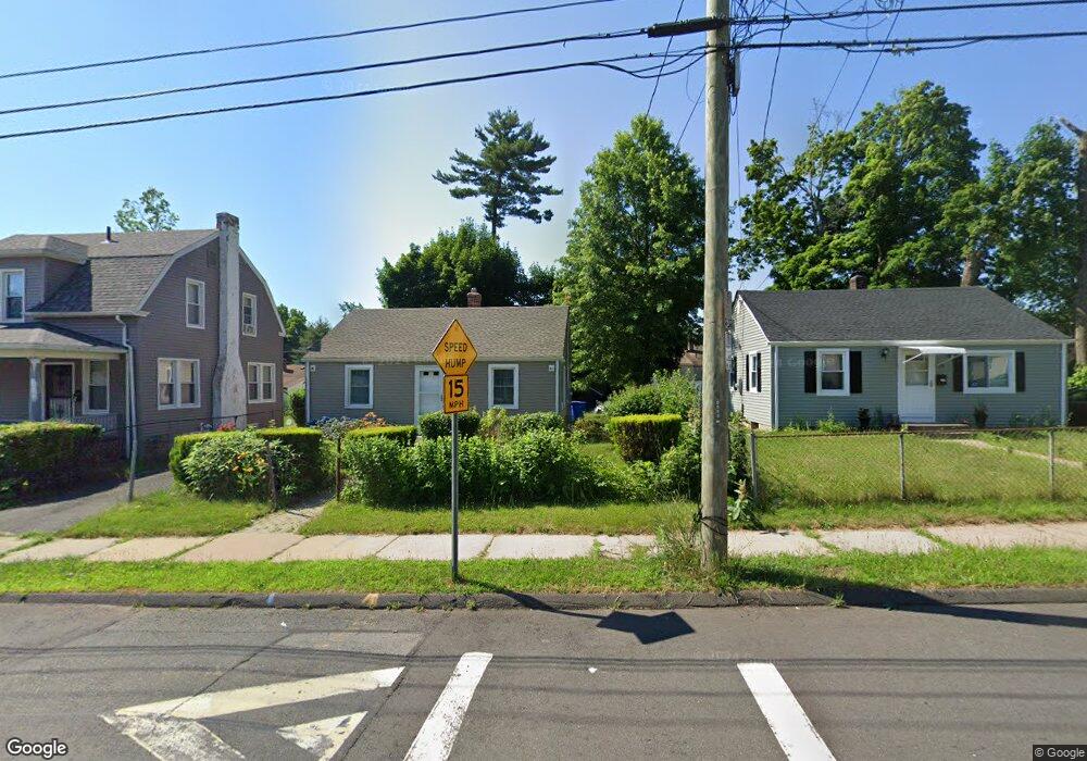
27 E Euclid St Hartford, CT 06112
Blue Hills NeighborhoodEstimated Value: $210,000 - $234,000
2
Beds
1
Bath
672
Sq Ft
$336/Sq Ft
Est. Value
About This Home
This home is located at 27 E Euclid St, Hartford, CT 06112 and is currently estimated at $226,127, approximately $336 per square foot. 27 E Euclid St is a home located in Hartford County with nearby schools including Rawson School, Breakthrough Magnet School - North Campus, and West Middle School.
Ownership History
Date
Name
Owned For
Owner Type
Purchase Details
Closed on
Jan 3, 2023
Sold by
Freckleton Ellouise A
Bought by
Getfield Oral and Getfield Rikell
Current Estimated Value
Purchase Details
Closed on
Jun 30, 1989
Sold by
Springer Barbara
Bought by
Freckleton Ellouise A
Home Financials for this Owner
Home Financials are based on the most recent Mortgage that was taken out on this home.
Original Mortgage
$103,100
Interest Rate
10.56%
Mortgage Type
Purchase Money Mortgage
Create a Home Valuation Report for This Property
The Home Valuation Report is an in-depth analysis detailing your home's value as well as a comparison with similar homes in the area
Home Values in the Area
Average Home Value in this Area
Purchase History
| Date | Buyer | Sale Price | Title Company |
|---|---|---|---|
| Getfield Oral | -- | None Available | |
| Freckleton Ellouise A | $106,000 | -- |
Source: Public Records
Mortgage History
| Date | Status | Borrower | Loan Amount |
|---|---|---|---|
| Previous Owner | Freckleton Ellouise A | $92,800 | |
| Previous Owner | Freckleton Ellouise A | $100,582 | |
| Previous Owner | Freckleton Ellouise A | $103,100 |
Source: Public Records
Tax History
| Year | Tax Paid | Tax Assessment Tax Assessment Total Assessment is a certain percentage of the fair market value that is determined by local assessors to be the total taxable value of land and additions on the property. | Land | Improvement |
|---|---|---|---|---|
| 2025 | $3,228 | $46,820 | $4,594 | $42,226 |
| 2024 | $3,228 | $46,820 | $4,594 | $42,226 |
| 2023 | $3,228 | $46,820 | $4,594 | $42,226 |
| 2022 | $2,346 | $34,031 | $4,594 | $29,437 |
| 2021 | $2,078 | $27,965 | $5,495 | $22,470 |
| 2020 | $2,078 | $27,965 | $5,495 | $22,470 |
| 2019 | $2,078 | $27,965 | $5,495 | $22,470 |
| 2018 | $2,007 | $27,022 | $5,310 | $21,712 |
| 2016 | $2,271 | $30,567 | $5,057 | $25,510 |
| 2015 | $2,163 | $29,115 | $4,816 | $24,299 |
| 2014 | $2,110 | $28,404 | $4,699 | $23,705 |
Source: Public Records
Map
Nearby Homes
- 97 E Burnham St
- 747 Blue Hills Ave
- 18 Darby St
- 97 Boothbay St
- 11 Pershing St Unit 13
- 26 Baltic St Unit 28
- 13 Patton Rd
- 200 Hartland St
- 35 Baltic St
- 110 Darby St
- 86 Hartland St
- 180 Brookline Ave
- 90 Manchester St
- 171 N Canaan St
- 83 Colebrook St Unit 85
- 216 Cornwall St
- 51 Pembroke St
- 166 Pembroke St
- 57 Love Ln
- 275 Westland St
- 31 E Euclid St
- 23 E Euclid St
- 28 E Euclid St Unit 30
- 19 E Euclid St
- 35 E Euclid St
- 24 E Euclid St
- 20 E Euclid St
- 24 E Burnham St
- 32 E Burnham St
- 39 E Euclid St
- 28 E Burnham St
- 36 E Euclid St
- 16 E Euclid St
- 36 E Burnham St
- 20 E Burnham St
- 40 E Euclid St
- 40 E Burnham St
- 43 E Euclid St
- 44 E Euclid St
- 44 E Burnham St
Your Personal Tour Guide
Ask me questions while you tour the home.