27 Eider Cove Rd Brunswick, ME 04011
Estimated Value: $996,000 - $1,822,000
3
Beds
3
Baths
2,350
Sq Ft
$573/Sq Ft
Est. Value
About This Home
This home is located at 27 Eider Cove Rd, Brunswick, ME 04011 and is currently estimated at $1,345,709, approximately $572 per square foot. 27 Eider Cove Rd is a home located in Cumberland County with nearby schools including Kate Furbish Elementary School, Brunswick Jr High School, and Brunswick High School.
Ownership History
Date
Name
Owned For
Owner Type
Purchase Details
Closed on
Sep 9, 2005
Sold by
Jensen Thomas E and Jensen Sarah M
Bought by
Anderson Glenn A and Anderson Angela
Current Estimated Value
Home Financials for this Owner
Home Financials are based on the most recent Mortgage that was taken out on this home.
Original Mortgage
$600,000
Outstanding Balance
$324,022
Interest Rate
6%
Mortgage Type
Adjustable Rate Mortgage/ARM
Estimated Equity
$1,021,687
Create a Home Valuation Report for This Property
The Home Valuation Report is an in-depth analysis detailing your home's value as well as a comparison with similar homes in the area
Home Values in the Area
Average Home Value in this Area
Purchase History
| Date | Buyer | Sale Price | Title Company |
|---|---|---|---|
| Anderson Glenn A | -- | -- |
Source: Public Records
Mortgage History
| Date | Status | Borrower | Loan Amount |
|---|---|---|---|
| Open | Anderson Glenn A | $600,000 |
Source: Public Records
Tax History
| Year | Tax Paid | Tax Assessment Tax Assessment Total Assessment is a certain percentage of the fair market value that is determined by local assessors to be the total taxable value of land and additions on the property. | Land | Improvement |
|---|---|---|---|---|
| 2024 | $17,120 | $717,800 | $317,300 | $400,500 |
| 2023 | $16,713 | $717,600 | $317,300 | $400,300 |
| 2022 | $15,289 | $704,900 | $317,300 | $387,600 |
| 2021 | $14,704 | $704,900 | $317,300 | $387,600 |
| 2020 | $14,359 | $704,900 | $317,300 | $387,600 |
| 2019 | $13,487 | $683,900 | $317,300 | $366,600 |
| 2018 | $12,939 | $683,900 | $317,300 | $366,600 |
| 2017 | $12,563 | $683,900 | $317,300 | $366,600 |
| 2016 | $10,883 | $370,800 | $152,500 | $218,300 |
| 2015 | $10,516 | $370,800 | $152,500 | $218,300 |
| 2014 | $9,913 | $370,800 | $152,500 | $218,300 |
| 2013 | -- | $357,200 | $152,500 | $204,700 |
Source: Public Records
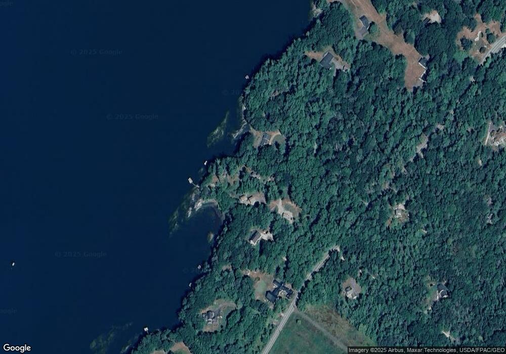
Map
Nearby Homes
- Map 80 Lot 18-0 White Island
- 0 Gundalo Gap Rd Unit 1638108
- 83 Central Ave
- 371 Maquoit Rd
- 5 Round Hill Ln
- 70 Maquoit Dr
- 2 Remington Way
- 46 Casco Rd
- 250 Mere Point Rd
- 36 Jewell St
- 14 Circus
- 28 Lynch St
- 16 Linnell Cir
- 30 Driftwood Tide Ln
- 6 Miranda St
- 20 Elwell Ln
- Lot 14 Village Cir
- Lot 13 Village Cir
- Lot 15 Village Cir
- Lot 16 Village Cir
- 19 Eider Cove Rd
- 31 Arbor Ln
- 15 Eider Cove Rd
- 18 Arbor Ln
- 0 Shearwater Way (Lot 4) Unit 1115527
- 942 Mere Point Rd
- 946 Mere Point Rd
- 4 Shearwater Way
- 903 Mere Point Rd
- 0 Shearwater Way Unit 1322391
- 0 Shearwater Way Unit 1144844
- 0 Shearwater Way Unit 1203571
- 0 Minott Shore Rd
- 882 Mere Point Rd
- 878 Mere Point Rd
- 4 Wild Aster Ln
- 964 Mere Point Rd
- 895 Mere Point Rd
- 8 Youmans Rd
- 866 Mere Point Rd
Your Personal Tour Guide
Ask me questions while you tour the home.