27 Fairmount St Brookline, MA 02445
South Brookline NeighborhoodEstimated Value: $1,135,000 - $1,730,000
4
Beds
3
Baths
1,900
Sq Ft
$777/Sq Ft
Est. Value
About This Home
This home is located at 27 Fairmount St, Brookline, MA 02445 and is currently estimated at $1,475,826, approximately $776 per square foot. 27 Fairmount St is a home located in Norfolk County with nearby schools including Heath Elementary School, Brookline High School, and Maimonides School.
Ownership History
Date
Name
Owned For
Owner Type
Purchase Details
Closed on
Jun 21, 2013
Sold by
Palmina Macdonald T and Sullivan Janet M
Bought by
Sullivan Janet
Current Estimated Value
Purchase Details
Closed on
May 5, 2010
Sold by
Macdonald Palmina M and Sullivan Janet M
Bought by
Sullivan Janet M and Macdonald Christine
Purchase Details
Closed on
Mar 14, 2006
Sold by
Macdonald Palmina M
Bought by
Sullivan Janet M and Macdonald Palmina M
Create a Home Valuation Report for This Property
The Home Valuation Report is an in-depth analysis detailing your home's value as well as a comparison with similar homes in the area
Home Values in the Area
Average Home Value in this Area
Purchase History
| Date | Buyer | Sale Price | Title Company |
|---|---|---|---|
| Sullivan Janet | -- | -- | |
| Sullivan Janet M | -- | -- | |
| Sullivan Janet M | -- | -- |
Source: Public Records
Tax History
| Year | Tax Paid | Tax Assessment Tax Assessment Total Assessment is a certain percentage of the fair market value that is determined by local assessors to be the total taxable value of land and additions on the property. | Land | Improvement |
|---|---|---|---|---|
| 2025 | $13,696 | $1,387,600 | $0 | $1,387,600 |
| 2024 | $13,291 | $1,360,400 | $0 | $1,360,400 |
| 2023 | $12,548 | $1,258,600 | $0 | $1,258,600 |
| 2022 | $12,452 | $1,222,000 | $0 | $1,222,000 |
| 2021 | $11,858 | $1,210,000 | $0 | $1,210,000 |
| 2020 | $11,321 | $1,198,000 | $0 | $1,198,000 |
| 2019 | $10,691 | $1,141,000 | $0 | $1,141,000 |
| 2018 | $10,388 | $1,098,100 | $0 | $1,098,100 |
| 2017 | $10,045 | $1,016,700 | $0 | $1,016,700 |
| 2016 | $9,348 | $897,100 | $0 | $897,100 |
| 2015 | $8,710 | $815,500 | $0 | $815,500 |
| 2014 | $8,516 | $747,700 | $0 | $747,700 |
Source: Public Records
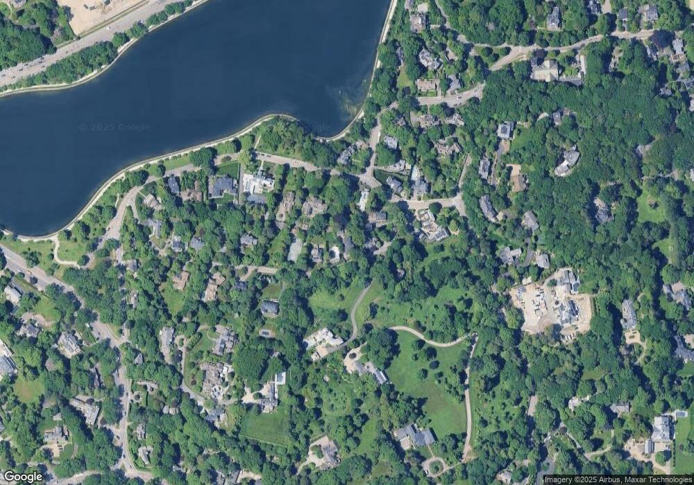
Map
Nearby Homes
- 222 Warren St
- 18 Chestnut Place
- 55 Leicester St
- 40 Heath Hill
- 21 Sargent Crossway
- 42 Prince St
- 63 Goddard Ave
- 120 Seaver St Unit C-102
- 24 Blake Rd
- 124 Chestnut St Unit 2
- 71 Sears Rd
- 68 Clyde St
- 140 Sumner Rd Unit 1
- 20 Rice St Unit 2
- 241 Perkins St Unit D405
- 241 Perkins St Unit C407
- 241 Perkins St Unit C402
- 241 Perkins St Unit G102
- 236 Walnut St
- 209 High St
Your Personal Tour Guide
Ask me questions while you tour the home.