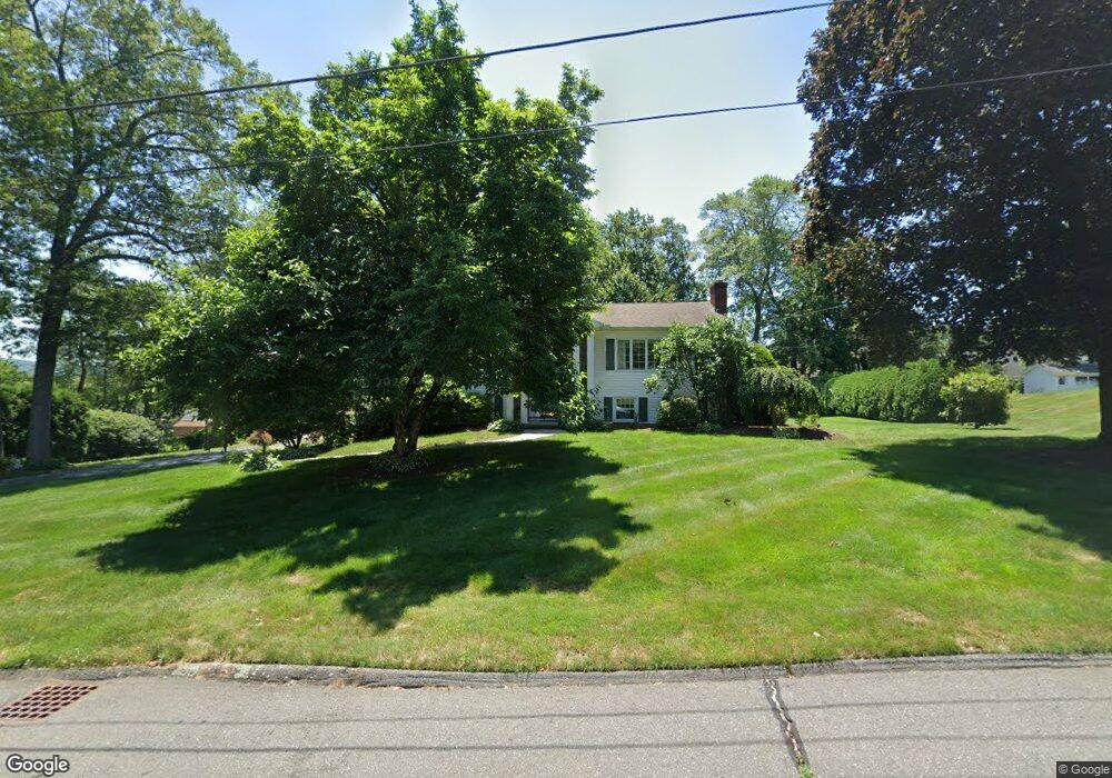
27 Fernwood Dr Wilbraham, MA 01095
Estimated Value: $468,455 - $538,000
4
Beds
2
Baths
1,375
Sq Ft
$366/Sq Ft
Est. Value
About This Home
This home is located at 27 Fernwood Dr, Wilbraham, MA 01095 and is currently estimated at $502,614, approximately $365 per square foot. 27 Fernwood Dr is a home located in Hampden County with nearby schools including Minnechaug Regional High School, St. John the Baptist School, and Wilbraham & Monson Academy.
Ownership History
Date
Name
Owned For
Owner Type
Purchase Details
Closed on
Sep 29, 1999
Sold by
Scibelli Frank and Scibelli Joan C
Bought by
Mccrystal-Moulton Lisa
Current Estimated Value
Home Financials for this Owner
Home Financials are based on the most recent Mortgage that was taken out on this home.
Original Mortgage
$98,000
Interest Rate
7.85%
Mortgage Type
Purchase Money Mortgage
Create a Home Valuation Report for This Property
The Home Valuation Report is an in-depth analysis detailing your home's value as well as a comparison with similar homes in the area
Home Values in the Area
Average Home Value in this Area
Purchase History
| Date | Buyer | Sale Price | Title Company |
|---|---|---|---|
| Mccrystal-Moulton Lisa | $168,000 | -- |
Source: Public Records
Mortgage History
| Date | Status | Borrower | Loan Amount |
|---|---|---|---|
| Open | Mccrystal-Moulton Lisa | $106,000 | |
| Closed | Mccrystal-Moulton Lisa | $98,000 |
Source: Public Records
Tax History Compared to Growth
Tax History
| Year | Tax Paid | Tax Assessment Tax Assessment Total Assessment is a certain percentage of the fair market value that is determined by local assessors to be the total taxable value of land and additions on the property. | Land | Improvement |
|---|---|---|---|---|
| 2025 | $7,004 | $391,700 | $102,300 | $289,400 |
| 2024 | $6,584 | $355,900 | $102,300 | $253,600 |
| 2023 | $5,868 | $335,100 | $102,300 | $232,800 |
| 2022 | $5,868 | $286,400 | $102,300 | $184,100 |
| 2021 | $5,655 | $246,300 | $109,000 | $137,300 |
| 2020 | $5,512 | $246,300 | $109,000 | $137,300 |
| 2019 | $5,369 | $246,300 | $109,000 | $137,300 |
| 2018 | $5,384 | $237,800 | $109,000 | $128,800 |
| 2017 | $5,232 | $237,800 | $109,000 | $128,800 |
| 2016 | $5,005 | $231,700 | $121,300 | $110,400 |
| 2015 | $4,838 | $231,700 | $121,300 | $110,400 |
Source: Public Records
Map
Nearby Homes
- 57 Sandalwood Dr Unit site 61
- 111 Sandalwood Dr Unit site 00
- 103 Sandalwood Dr Unit site 00
- 99 Sandalwood Dr Unit site 00
- 92 Sandalwood Dr
- 10 Forest Glade Dr
- 26 Sandalwood Dr
- 4 Lance Ln
- 15 Sandalwood Dr Unit site 00
- 11 Hickory Hill Dr
- 19 Linwood Dr
- 344 Stony Hill Rd
- 32 Lodge Ln Unit 32
- 24 Lodge Ln Unit 24
- 8 Glenn Dr
- 116 Cherry Dr Unit 116
- 6V Melikian Dr
- 11 Wellfleet Dr
- 2205 Boston Rd Unit I 82
- 88 Manchonis Rd
- 25 Fernwood Dr
- 29 Fernwood Dr
- 54 Sandalwood Dr
- 28 Fernwood Dr
- 26 Fernwood Dr
- 109 Sandalwood Dr Unit site 00
- 50 Sandalwood Dr
- 23 Fernwood Dr
- 31 Fernwood Dr
- 24 Fernwood Dr
- 112 Sandalwood Dr Unit 51
- 39 Cypress Ln Unit 39
- 11 Oaks Farm Ln Unit 11
- 11 Oaks Farm Ln
- 8 Sandalwood Dr Unit 8
- 6 Sandalwood Dr Unit 6
- 6 Sandalwood Dr Unit 38
- 8 Sandalwood Dr Unit 38
- 11 Oaks Farm Ln
- 11 Oaks Farm Ln