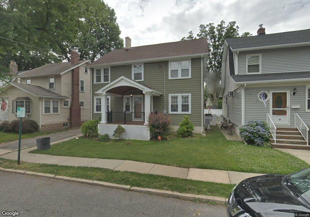
27 Friedland Rd Nutley, NJ 07110
Estimated Value: $831,932 - $941,000
--
Bed
--
Bath
2,736
Sq Ft
$324/Sq Ft
Est. Value
About This Home
This home is located at 27 Friedland Rd, Nutley, NJ 07110 and is currently estimated at $887,733, approximately $324 per square foot. 27 Friedland Rd is a home located in Essex County with nearby schools including Nutley High School, Good Shepherd Academy, and Abundant Life Academy.
Ownership History
Date
Name
Owned For
Owner Type
Purchase Details
Closed on
Oct 6, 2014
Sold by
Argieri Louis and Argieri Kristen
Bought by
Argier Louis and Argier Kristen
Current Estimated Value
Purchase Details
Closed on
May 1, 2008
Sold by
Healy Paul B and Healy Genevieve
Bought by
Argieri Louis and Faggioli Kristen
Home Financials for this Owner
Home Financials are based on the most recent Mortgage that was taken out on this home.
Original Mortgage
$320,000
Interest Rate
5.91%
Mortgage Type
Purchase Money Mortgage
Create a Home Valuation Report for This Property
The Home Valuation Report is an in-depth analysis detailing your home's value as well as a comparison with similar homes in the area
Home Values in the Area
Average Home Value in this Area
Purchase History
| Date | Buyer | Sale Price | Title Company |
|---|---|---|---|
| Argier Louis | -- | -- | |
| Argier Louis | -- | -- | |
| Argieri Louis | $400,000 | Chicago Title Insurance Co |
Source: Public Records
Mortgage History
| Date | Status | Borrower | Loan Amount |
|---|---|---|---|
| Previous Owner | Argieri Louis | $320,000 |
Source: Public Records
Tax History Compared to Growth
Tax History
| Year | Tax Paid | Tax Assessment Tax Assessment Total Assessment is a certain percentage of the fair market value that is determined by local assessors to be the total taxable value of land and additions on the property. | Land | Improvement |
|---|---|---|---|---|
| 2025 | $17,146 | $665,600 | $220,800 | $444,800 |
| 2024 | $17,146 | $665,600 | $220,800 | $444,800 |
| 2022 | $15,726 | $407,000 | $136,900 | $270,100 |
| 2021 | $15,645 | $407,000 | $136,900 | $270,100 |
| 2020 | $14,986 | $407,000 | $136,900 | $270,100 |
| 2019 | $14,685 | $407,000 | $136,900 | $270,100 |
| 2018 | $10,048 | $286,200 | $136,900 | $149,300 |
| 2017 | $9,940 | $286,200 | $136,900 | $149,300 |
| 2016 | $9,645 | $286,200 | $136,900 | $149,300 |
| 2015 | $9,490 | $286,200 | $136,900 | $149,300 |
| 2014 | $9,370 | $286,200 | $136,900 | $149,300 |
Source: Public Records
Map
Nearby Homes
- 105 Centre St
- 87 Centre St Unit 4
- 67 Oak Ridge Ave
- 35 Witherspoon St
- 108 Passaic Ave Unit B-19
- 108-110 Passaic Ave Unit B19
- 190 Conover Ave
- 4 Hampton Place
- 51 Saint Marys Place
- 38 Centre St
- 38 Centre St Unit 2
- 680 Union Ave Unit E1
- 14 Berton Place
- 117 Saint Marys Place
- 89 King St
- 29 Sunset Ave
- 53 Passaic Ave
- 120 Brookline Ave
- 12 Russell Ave
- 54 Brookline Ave
- 25 Friedland Rd
- 29 Friedland Rd
- 21 Friedland Rd
- 31 Friedland Rd
- 110 Conover Ave
- 114 Conover Ave
- 108 Conover Ave
- 116 Conover Ave
- 33 Friedland Rd
- 104 Conover Ave
- 15 Friedland Rd
- 120 Conover Ave
- 30 Friedland Rd
- 100 Conover Ave
- 43 Friedland Rd
- 124 Conover Ave
- 24 Friedland Rd
- 34 Friedland Rd
- 20 Friedland Rd
- 36 Friedland Rd