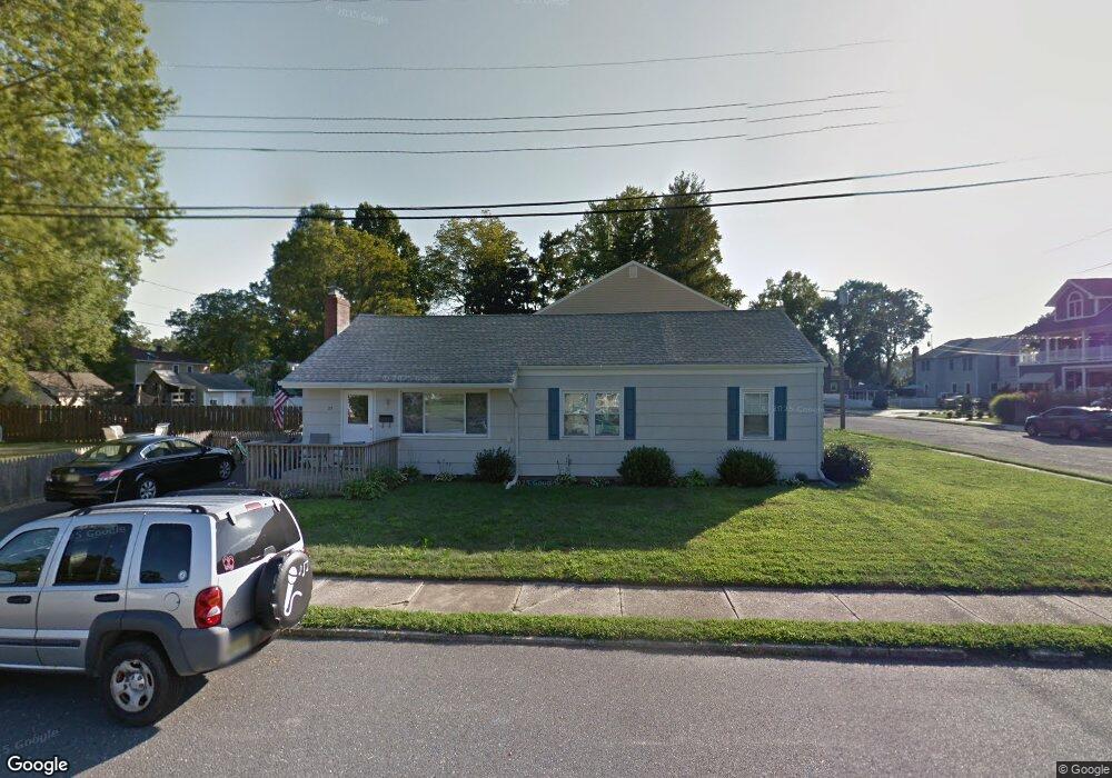
27 Gertrude Place Manasquan, NJ 08736
Estimated Value: $802,000 - $955,000
3
Beds
2
Baths
1,175
Sq Ft
$759/Sq Ft
Est. Value
About This Home
This home is located at 27 Gertrude Place, Manasquan, NJ 08736 and is currently estimated at $892,085, approximately $759 per square foot. 27 Gertrude Place is a home located in Monmouth County with nearby schools including Manasquan Elementary School, Manasquan High School, and The Brookside School.
Ownership History
Date
Name
Owned For
Owner Type
Purchase Details
Closed on
Nov 18, 2003
Sold by
Richey Robert
Bought by
Syby Douglas and Riddle Barrie
Current Estimated Value
Home Financials for this Owner
Home Financials are based on the most recent Mortgage that was taken out on this home.
Original Mortgage
$200,000
Interest Rate
5.89%
Purchase Details
Closed on
Dec 15, 1997
Sold by
Hanlon Anne
Bought by
Richey Robert and Robert Burkhardt
Home Financials for this Owner
Home Financials are based on the most recent Mortgage that was taken out on this home.
Original Mortgage
$103,000
Interest Rate
7.15%
Mortgage Type
FHA
Create a Home Valuation Report for This Property
The Home Valuation Report is an in-depth analysis detailing your home's value as well as a comparison with similar homes in the area
Home Values in the Area
Average Home Value in this Area
Purchase History
| Date | Buyer | Sale Price | Title Company |
|---|---|---|---|
| Syby Douglas | $300,000 | -- | |
| Richey Robert | $103,500 | -- |
Source: Public Records
Mortgage History
| Date | Status | Borrower | Loan Amount |
|---|---|---|---|
| Previous Owner | Syby Douglas | $200,000 | |
| Previous Owner | Richey Robert | $103,000 |
Source: Public Records
Tax History Compared to Growth
Tax History
| Year | Tax Paid | Tax Assessment Tax Assessment Total Assessment is a certain percentage of the fair market value that is determined by local assessors to be the total taxable value of land and additions on the property. | Land | Improvement |
|---|---|---|---|---|
| 2025 | $6,500 | $365,600 | $276,700 | $88,900 |
| 2024 | $6,255 | $365,600 | $276,700 | $88,900 |
| 2023 | $6,255 | $365,600 | $276,700 | $88,900 |
| 2022 | $5,771 | $365,600 | $276,700 | $88,900 |
| 2021 | $5,771 | $365,600 | $276,700 | $88,900 |
| 2020 | $5,937 | $365,600 | $276,700 | $88,900 |
| 2019 | $5,714 | $365,600 | $276,700 | $88,900 |
| 2018 | $5,586 | $365,600 | $276,700 | $88,900 |
| 2017 | $5,374 | $365,600 | $276,700 | $88,900 |
| 2016 | $5,232 | $365,600 | $276,700 | $88,900 |
| 2015 | $4,535 | $280,000 | $192,400 | $87,600 |
| 2014 | $4,530 | $280,000 | $190,000 | $90,000 |
Source: Public Records
Map
Nearby Homes
- 10 Acpoan Place
- 34 Wigwam Path
- 85 Virginia Ave
- 633 Agnes Ave
- 3 Central Ave
- 34 Broad St Unit 306
- 610 Agnes Ave
- 116 Curtis Ave
- 105 Mount Ln Unit 3
- 2522 Algonkin Trail
- 308 South St
- 404 South St
- 300 Union Ave
- 1207 Bayberry Rd
- 507 Magnolia Ave
- 533 Woodland Ave
- 504 Fisk Ave
- 1215 Church St
- 323-325 Fisk Ave
- 320 Cedar Ave
- 54 Iroquois Rd
- 58 Iroquois Rd
- 32 Iroquois Rd
- 30 Gertrude Place
- 35 Gertrude Place
- 32 Lakewood Rd
- 24 Lakewood Rd
- 28 Iroquois Rd
- 22 Lakewood Rd
- 57 Iroquois Rd
- 37 Gertrude Place
- 38 Gertrude Place
- 18 Lakewood Rd
- 38 Lakewood Rd
- 24 Iroquois Rd
- 25 Iroquois Rd
- 42 Gertrude Place
- 43 Gertrude Place
- 14 Lakewood Rd
- 42 Lakewood Rd