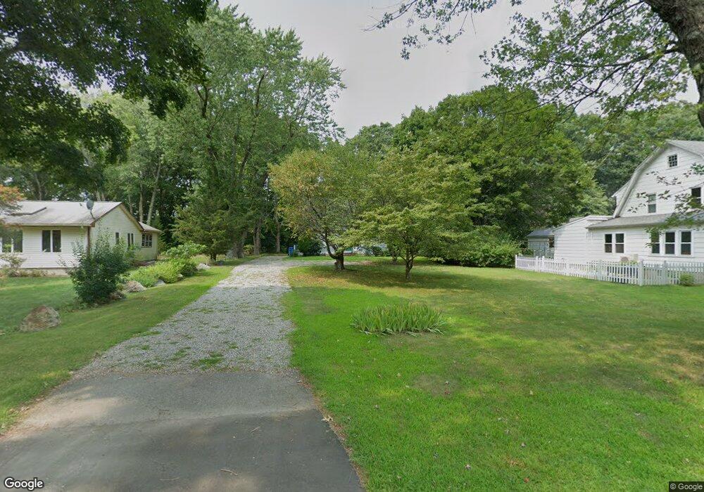
27 Glenwood Rd Clinton, CT 06413
Estimated Value: $450,758 - $533,000
3
Beds
2
Baths
1,498
Sq Ft
$321/Sq Ft
Est. Value
About This Home
This home is located at 27 Glenwood Rd, Clinton, CT 06413 and is currently estimated at $480,690, approximately $320 per square foot. 27 Glenwood Rd is a home located in Middlesex County with nearby schools including Lewin G. Joel Jr. School and The Morgan School.
Ownership History
Date
Name
Owned For
Owner Type
Purchase Details
Closed on
May 26, 1998
Sold by
Millham Robert D and Millham Michele L
Bought by
Maynard George D
Current Estimated Value
Home Financials for this Owner
Home Financials are based on the most recent Mortgage that was taken out on this home.
Original Mortgage
$132,000
Outstanding Balance
$26,361
Interest Rate
7.03%
Mortgage Type
Unknown
Estimated Equity
$454,329
Purchase Details
Closed on
Feb 1, 1995
Sold by
Coastline Constr Corp
Bought by
Millham Robert D and Millham Michele L
Home Financials for this Owner
Home Financials are based on the most recent Mortgage that was taken out on this home.
Original Mortgage
$143,100
Interest Rate
9.13%
Mortgage Type
Unknown
Create a Home Valuation Report for This Property
The Home Valuation Report is an in-depth analysis detailing your home's value as well as a comparison with similar homes in the area
Home Values in the Area
Average Home Value in this Area
Purchase History
| Date | Buyer | Sale Price | Title Company |
|---|---|---|---|
| Maynard George D | $165,000 | -- | |
| Maynard George D | $165,000 | -- | |
| Millham Robert D | $159,000 | -- | |
| Millham Robert D | $159,000 | -- |
Source: Public Records
Mortgage History
| Date | Status | Borrower | Loan Amount |
|---|---|---|---|
| Open | Millham Robert D | $132,000 | |
| Closed | Millham Robert D | $132,000 | |
| Previous Owner | Millham Robert D | $143,000 | |
| Previous Owner | Millham Robert D | $143,100 |
Source: Public Records
Tax History
| Year | Tax Paid | Tax Assessment Tax Assessment Total Assessment is a certain percentage of the fair market value that is determined by local assessors to be the total taxable value of land and additions on the property. | Land | Improvement |
|---|---|---|---|---|
| 2025 | $5,297 | $170,100 | $45,900 | $124,200 |
| 2024 | $5,147 | $170,100 | $45,900 | $124,200 |
| 2023 | $5,074 | $170,100 | $45,900 | $124,200 |
| 2022 | $5,074 | $170,100 | $45,900 | $124,200 |
| 2021 | $4,853 | $162,700 | $45,900 | $116,800 |
| 2020 | $5,084 | $162,700 | $45,900 | $116,800 |
| 2019 | $5,084 | $162,700 | $45,900 | $116,800 |
| 2018 | $4,969 | $162,700 | $45,900 | $116,800 |
| 2017 | $4,866 | $162,700 | $45,900 | $116,800 |
| 2016 | $4,416 | $162,700 | $45,900 | $116,800 |
| 2015 | $4,409 | $164,700 | $51,000 | $113,700 |
| 2014 | $4,327 | $164,700 | $51,000 | $113,700 |
Source: Public Records
Map
Nearby Homes
- 0 Fairy Dell Rd
- 50 Jefferson Cir
- 15 Partridge Ln
- 38 Sunnybrook Ln
- 41 Sunnybrook Ln
- 64 W Main St
- 0 Cow Hill Rd
- 11 Palmer Terrace
- 15 Brickyard Rd
- 166 Glenwood Rd
- 28 Rocky Ledge Dr
- 34 Hurd Bridge Rd
- 57 Grove St
- 6 Cedar Island Ave
- 144 E Main St Unit 5
- 151 E Main St Unit 23
- 151 E Main St Unit 19
- 151 E Main St Unit 12
- 151 E Main St Unit 20
- 151 E Main St Unit 24
- 29 Glenwood Rd
- 25 Glenwood Rd
- 31 Glenwood Rd
- 33 Glenwood Rd
- 26 Glenwood Rd
- 23 Glenwood Rd
- 28 Glenwood Rd
- 22 Glenwood Rd
- 35 Glenwood Rd
- 20 Glenwood Rd
- 24 Glenwood Rd
- 30 Glenwood Rd Unit E
- 30 Glenwood Rd Unit W
- 30 Glenwood Rd Unit 30W
- 32 Glenwood Rd Unit S
- 32 Glenwood Rd Unit N
- 17 Glenwood Rd
- 34 Glenwood Rd Unit 34 W
- 34 Glenwood Rd Unit E
- 34 Glenwood Rd Unit W
Your Personal Tour Guide
Ask me questions while you tour the home.