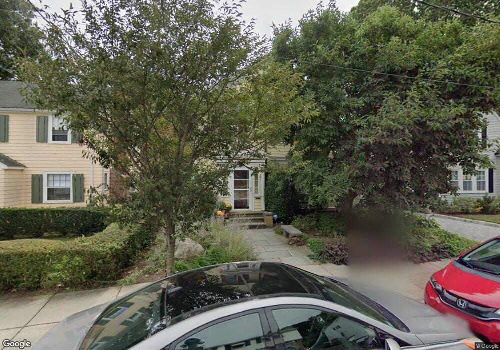
27 Goodway Rd Jamaica Plain, MA 02130
Jamaica Plain NeighborhoodEstimated Value: $914,000 - $1,046,000
3
Beds
3
Baths
1,716
Sq Ft
$571/Sq Ft
Est. Value
About This Home
This home is located at 27 Goodway Rd, Jamaica Plain, MA 02130 and is currently estimated at $980,199, approximately $571 per square foot. 27 Goodway Rd is a home located in Suffolk County with nearby schools including Brooke Charter School Roslindale, The Croft School - Jamaica Plain, and St. Clare High School.
Ownership History
Date
Name
Owned For
Owner Type
Purchase Details
Closed on
May 30, 1989
Sold by
Harris John T
Bought by
Richardson Mark I
Current Estimated Value
Create a Home Valuation Report for This Property
The Home Valuation Report is an in-depth analysis detailing your home's value as well as a comparison with similar homes in the area
Home Values in the Area
Average Home Value in this Area
Purchase History
| Date | Buyer | Sale Price | Title Company |
|---|---|---|---|
| Richardson Mark I | $182,000 | -- |
Source: Public Records
Mortgage History
| Date | Status | Borrower | Loan Amount |
|---|---|---|---|
| Open | Richardson Mark I | $100,000 | |
| Closed | Richardson Mark I | $126,000 | |
| Closed | Richardson Mark I | $80,000 |
Source: Public Records
Tax History Compared to Growth
Tax History
| Year | Tax Paid | Tax Assessment Tax Assessment Total Assessment is a certain percentage of the fair market value that is determined by local assessors to be the total taxable value of land and additions on the property. | Land | Improvement |
|---|---|---|---|---|
| 2025 | $10,754 | $928,700 | $264,500 | $664,200 |
| 2024 | $8,962 | $822,200 | $244,800 | $577,400 |
| 2023 | $8,250 | $768,200 | $228,800 | $539,400 |
| 2022 | $7,561 | $694,900 | $209,800 | $485,100 |
| 2021 | $7,199 | $674,700 | $203,700 | $471,000 |
| 2020 | $6,989 | $661,800 | $201,400 | $460,400 |
| 2019 | $6,642 | $630,200 | $168,300 | $461,900 |
| 2018 | $5,896 | $562,600 | $168,300 | $394,300 |
| 2017 | $5,844 | $551,800 | $168,300 | $383,500 |
| 2016 | $5,950 | $540,900 | $168,300 | $372,600 |
| 2015 | $5,907 | $487,800 | $178,300 | $309,500 |
| 2014 | $4,960 | $394,300 | $174,600 | $219,700 |
Source: Public Records
Map
Nearby Homes
- 50 Southbourne Rd
- 24 Waterman Rd
- 71 Wyvern St
- 348-350 Hyde Park Ave Unit 2
- 105 Neponset Ave Unit 105
- 103 Neponset Ave Unit 103A
- 103-105 Neponset Ave
- 36 Neponset Ave Unit 1
- 18-20 Northbourne Rd Unit 18
- 31 Rodman St Unit 2
- 31 Rodman St Unit 1
- 602 Canterbury St Unit 14
- 602 Canterbury St Unit 4
- 602 Canterbury St Unit 5
- 602 Canterbury St Unit 2
- 602 Canterbury St Unit 9
- 32 Jewett St
- 579 American Legion Hwy
- 577-579 American Legion Hwy
- 158 Wachusett St Unit 3
- 29 Goodway Rd
- 23 Goodway Rd
- 1B Meyer St
- 1 Meyer St
- 1A Meyer St
- 2 Meyer St
- 2 Meyer St Unit 1
- 19 Goodway Rd
- 91 Bourne St Unit 93
- 91 Bourne St Unit 221
- 91 Bourne St Unit 91
- 91-93 Bourne St Unit 93
- 87-89 Bourne St
- 7 Wallace Park
- 17 Goodway Rd
- 17 Goodway Rd Unit 1
- 17 Goodway Rd
- 17 Goodway Rd Unit 2
- 7-9 Goodway Rd Unit 2
- 7-9 Goodway Rd