27 Hadley Rd Sudbury, MA 01776
Estimated Value: $936,000 - $1,015,000
4
Beds
3
Baths
2,760
Sq Ft
$352/Sq Ft
Est. Value
About This Home
This home is located at 27 Hadley Rd, Sudbury, MA 01776 and is currently estimated at $970,707, approximately $351 per square foot. 27 Hadley Rd is a home located in Middlesex County with nearby schools including Josiah Haynes Elementary School, Ephraim Curtis Middle School, and Lincoln-Sudbury Regional High School.
Ownership History
Date
Name
Owned For
Owner Type
Purchase Details
Closed on
Feb 28, 2024
Sold by
Gollerkeri Dhruva M and Gollerkeri Shruti K
Bought by
D M & S K Gollerkeri Lt and Gollerkeri
Current Estimated Value
Purchase Details
Closed on
Jul 31, 2006
Sold by
Sohn Jerome B and Sohn Sandra O
Bought by
Gollerkeri Dhruva M and Gollerkeri Shruti K
Home Financials for this Owner
Home Financials are based on the most recent Mortgage that was taken out on this home.
Original Mortgage
$250,000
Interest Rate
6.67%
Mortgage Type
Purchase Money Mortgage
Create a Home Valuation Report for This Property
The Home Valuation Report is an in-depth analysis detailing your home's value as well as a comparison with similar homes in the area
Home Values in the Area
Average Home Value in this Area
Purchase History
| Date | Buyer | Sale Price | Title Company |
|---|---|---|---|
| D M & S K Gollerkeri Lt | -- | None Available | |
| D M & S K Gollerkeri Lt | -- | None Available | |
| D M & S K Gollerkeri Lt | -- | None Available | |
| Gollerkeri Dhruva M | $547,575 | -- | |
| Gollerkeri Dhruva M | $547,575 | -- |
Source: Public Records
Mortgage History
| Date | Status | Borrower | Loan Amount |
|---|---|---|---|
| Previous Owner | Gollerkeri Dhruva M | $243,000 | |
| Previous Owner | Gollerkeri Dhruva M | $250,000 | |
| Previous Owner | Gollerkeri Dhruva M | $100,000 |
Source: Public Records
Tax History Compared to Growth
Tax History
| Year | Tax Paid | Tax Assessment Tax Assessment Total Assessment is a certain percentage of the fair market value that is determined by local assessors to be the total taxable value of land and additions on the property. | Land | Improvement |
|---|---|---|---|---|
| 2025 | $11,954 | $816,500 | $439,800 | $376,700 |
| 2024 | $11,558 | $791,100 | $427,000 | $364,100 |
| 2023 | $11,435 | $725,100 | $395,400 | $329,700 |
| 2022 | $10,785 | $597,500 | $363,000 | $234,500 |
| 2021 | $10,588 | $562,300 | $363,000 | $199,300 |
| 2020 | $10,374 | $562,300 | $363,000 | $199,300 |
| 2019 | $10,071 | $562,300 | $363,000 | $199,300 |
| 2018 | $9,847 | $549,200 | $387,000 | $162,200 |
| 2017 | $9,212 | $519,300 | $368,200 | $151,100 |
| 2016 | $8,863 | $497,900 | $354,200 | $143,700 |
| 2015 | $8,531 | $484,700 | $340,600 | $144,100 |
| 2014 | $8,517 | $472,400 | $330,600 | $141,800 |
Source: Public Records
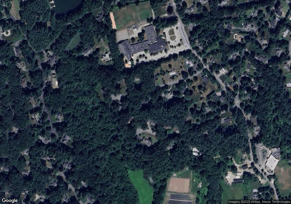
Map
Nearby Homes
- 42 Dakin Rd
- 16 Blacksmith Dr
- 57 Longfellow Rd
- 14 Frost Ln
- 63 Canterbury Dr
- 67 Powder Mill Rd
- 5 Taintor Dr
- 55 Widow Rites Ln
- 45 Widow Rites Ln
- 589 North Rd
- 401 Emery Ln Unit 104
- 369 Border Rd
- 10 Oak Ridge Dr Unit 5
- 5 Oak Ridge Dr Unit 7
- 24 Rookery Ln Unit 6
- 166 Parker St Unit 4
- 40 Rookery Ln Unit 5
- 72 Rookery Ln Unit 3
- 56 Rookery Ln Unit 4
- 54 Phillips Rd