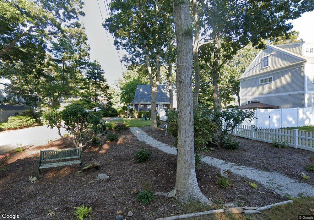
27 Hawthorne Ct Falmouth, MA 02540
Falmouth Village NeighborhoodEstimated Value: $1,181,856 - $1,291,000
4
Beds
2
Baths
1,801
Sq Ft
$688/Sq Ft
Est. Value
About This Home
This home is located at 27 Hawthorne Ct, Falmouth, MA 02540 and is currently estimated at $1,238,464, approximately $687 per square foot. 27 Hawthorne Ct is a home located in Barnstable County with nearby schools including Mullen-Hall School, Morse Pond School, and Lawrence School.
Ownership History
Date
Name
Owned For
Owner Type
Purchase Details
Closed on
Jul 20, 2018
Sold by
Carol L Dipaolo Lt and Dipaolo
Bought by
27 Gawthorne Ct Rt and Dipaolo
Current Estimated Value
Purchase Details
Closed on
May 14, 1993
Sold by
Krasnauskas Richard J
Bought by
Dipaolo Thomas and Dipaolo Carol L
Home Financials for this Owner
Home Financials are based on the most recent Mortgage that was taken out on this home.
Original Mortgage
$10,000
Interest Rate
7.47%
Mortgage Type
Purchase Money Mortgage
Create a Home Valuation Report for This Property
The Home Valuation Report is an in-depth analysis detailing your home's value as well as a comparison with similar homes in the area
Home Values in the Area
Average Home Value in this Area
Purchase History
| Date | Buyer | Sale Price | Title Company |
|---|---|---|---|
| 27 Gawthorne Ct Rt | -- | -- | |
| Dipaolo Thomas | $194,000 | -- |
Source: Public Records
Mortgage History
| Date | Status | Borrower | Loan Amount |
|---|---|---|---|
| Previous Owner | Dipaolo Thomas | $10,000 |
Source: Public Records
Tax History Compared to Growth
Tax History
| Year | Tax Paid | Tax Assessment Tax Assessment Total Assessment is a certain percentage of the fair market value that is determined by local assessors to be the total taxable value of land and additions on the property. | Land | Improvement |
|---|---|---|---|---|
| 2025 | $5,429 | $924,800 | $532,600 | $392,200 |
| 2024 | $5,435 | $865,500 | $509,100 | $356,400 |
| 2023 | $4,749 | $686,200 | $380,700 | $305,500 |
| 2022 | $5,019 | $623,500 | $380,100 | $243,400 |
| 2021 | $4,737 | $557,300 | $363,600 | $193,700 |
| 2020 | $4,503 | $524,200 | $330,500 | $193,700 |
| 2019 | $4,443 | $519,100 | $330,500 | $188,600 |
| 2018 | $4,687 | $512,200 | $330,500 | $181,700 |
| 2017 | $4,316 | $506,000 | $330,500 | $175,500 |
| 2016 | $4,231 | $505,500 | $330,500 | $175,000 |
| 2015 | $4,140 | $505,500 | $330,500 | $175,000 |
| 2014 | $4,109 | $504,200 | $330,600 | $173,600 |
Source: Public Records
Map
Nearby Homes
- 29 Miami Ave
- 55 Jericho Path
- 200 Grand Ave
- 286 Grand Ave Unit 6
- 286 Grand Ave Unit 8
- 286 Grand Ave Unit 4
- 61 Menauhant Rd
- 22 Alma Rd
- 27 Sycamore St
- 9 Fairmount Ave Unit 1
- 9 Fairmount Ave
- 253 Scranton Ave
- 65 Cypress St
- 106 Beach St
- 214 Menauhant Rd
- 480 Main St Unit 1
- Lot 2 Pine Grove Ave
- 110 Dillingham Ave Unit 322
- 21 Hawthorne Ct
- 123 Jericho Path
- 127 Jericho Path
- 17 Dartmouth Ct
- 15 Hawthorne Ct
- 117 Jericho Path
- 16 Dartmouth Ct
- 24 Hawthorne Ct
- 129 Jericho Path
- 115 Jericho Path
- 18 Hawthorne Ct
- 30 Hawthorne Ct
- 13 Dartmouth Ct
- 135 Jericho Path
- 21 Montgomery Ct
- 11 Hawthorne Ct
- 111 Jericho Path
- 15 Montgomery Ct
- 8 Dartmouth Ct
- 8 Dartmouth Ct