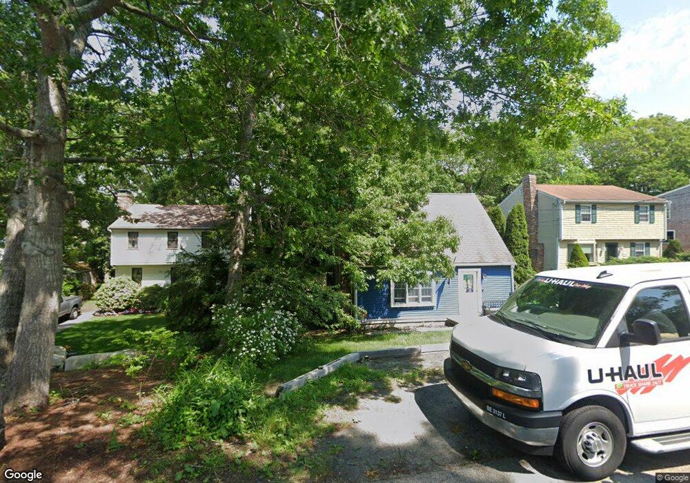
27 Hillside Dr Unit 1 Plymouth, MA 02360
Estimated Value: $491,000 - $617,000
4
Beds
2
Baths
1,528
Sq Ft
$363/Sq Ft
Est. Value
About This Home
This home is located at 27 Hillside Dr Unit 1, Plymouth, MA 02360 and is currently estimated at $555,369, approximately $363 per square foot. 27 Hillside Dr Unit 1 is a home located in Plymouth County with nearby schools including Indian Brook, Plymouth South Middle School, and Plymouth South High School.
Ownership History
Date
Name
Owned For
Owner Type
Purchase Details
Closed on
Apr 30, 2004
Sold by
Willis Josephine A
Bought by
Hurd Stephen C and Hurd Julie E
Current Estimated Value
Purchase Details
Closed on
Mar 28, 1995
Sold by
Mhfa
Bought by
Burke Peter N and Burke Sherry A
Purchase Details
Closed on
Apr 4, 1994
Sold by
Mihelikakis Demetrios and Mihelidajis Kim J
Bought by
Mhfa
Purchase Details
Closed on
Apr 13, 1989
Sold by
Household Fin Ii
Bought by
Mihelidakis Demetrios
Purchase Details
Closed on
Oct 22, 1988
Sold by
Conroy By P J
Bought by
Household Fin Corp Lii
Create a Home Valuation Report for This Property
The Home Valuation Report is an in-depth analysis detailing your home's value as well as a comparison with similar homes in the area
Home Values in the Area
Average Home Value in this Area
Purchase History
| Date | Buyer | Sale Price | Title Company |
|---|---|---|---|
| Hurd Stephen C | $253,500 | -- | |
| Burke Peter N | $98,000 | -- | |
| Burke Peter N | $98,000 | -- | |
| Mhfa | $101,910 | -- | |
| Mhfa | $101,910 | -- | |
| Mihelidakis Demetrios | $101,000 | -- | |
| Mihelidakis Demetrios | $101,000 | -- | |
| Household Fin Corp Lii | $50,000 | -- |
Source: Public Records
Mortgage History
| Date | Status | Borrower | Loan Amount |
|---|---|---|---|
| Previous Owner | Household Fin Corp Lii | $140,000 | |
| Previous Owner | Household Fin Corp Lii | $115,500 |
Source: Public Records
Tax History Compared to Growth
Tax History
| Year | Tax Paid | Tax Assessment Tax Assessment Total Assessment is a certain percentage of the fair market value that is determined by local assessors to be the total taxable value of land and additions on the property. | Land | Improvement |
|---|---|---|---|---|
| 2025 | $5,195 | $409,400 | $180,200 | $229,200 |
| 2024 | $4,987 | $387,500 | $164,100 | $223,400 |
| 2023 | $4,875 | $355,600 | $148,800 | $206,800 |
| 2022 | $4,806 | $311,500 | $140,300 | $171,200 |
| 2021 | $4,606 | $285,000 | $140,300 | $144,700 |
| 2020 | $4,405 | $269,400 | $127,500 | $141,900 |
| 2019 | $4,315 | $260,900 | $119,000 | $141,900 |
| 2018 | $4,130 | $250,900 | $110,500 | $140,400 |
| 2017 | $3,890 | $234,600 | $110,500 | $124,100 |
| 2016 | $3,679 | $226,100 | $102,000 | $124,100 |
| 2015 | $3,447 | $221,800 | $97,700 | $124,100 |
| 2014 | $3,283 | $217,000 | $97,700 | $119,300 |
Source: Public Records
Map
Nearby Homes
- 107 Shore Dr
- 12 Mayflower Dr
- 5 Trask Rd
- 32 Shore Dr
- 35 Trask Rd
- 43 Pond View Cir
- 26 Goelette Dr
- 11 Ellisville Dr
- 30 Nautical Way
- 19 Mimosa Cir
- 47 Pleasant Harbour Rd
- 68 Ellisville Dr
- 9 Kingston Rd
- 451 Ship Pond Rd
- 475 Ship Pond Rd
- 40 Drum Dr Unit 40
- 24 Drum Dr Unit 24
- 3 Hiawatha Rd
- 91 Miter Dr Unit 18-1
- The Hickory Plan at Alden's Reach - Attached & Detached Single Family Homes