27 Jameson Point Rd Rockland, ME 04841
Estimated Value: $682,000 - $841,000
3
Beds
2
Baths
1,411
Sq Ft
$539/Sq Ft
Est. Value
About This Home
This home is located at 27 Jameson Point Rd, Rockland, ME 04841 and is currently estimated at $760,180, approximately $538 per square foot. 27 Jameson Point Rd is a home located in Knox County with nearby schools including South School, Oceanside High School East, and Pen Bay Christian School.
Ownership History
Date
Name
Owned For
Owner Type
Purchase Details
Closed on
Sep 22, 2022
Sold by
Tenneson Joyce
Bought by
Radiant Properties Llc
Current Estimated Value
Purchase Details
Closed on
Sep 21, 2018
Sold by
Cooke Chester W
Bought by
Tenneson Joyce
Home Financials for this Owner
Home Financials are based on the most recent Mortgage that was taken out on this home.
Original Mortgage
$210,000
Interest Rate
4.5%
Mortgage Type
Unknown
Purchase Details
Closed on
May 10, 2016
Sold by
Dewing 3Rd Edmund R and May Heidi L
Bought by
Cooke Chester W
Purchase Details
Closed on
Mar 7, 2016
Sold by
Edmund R Dewing Jr Ret and Dewing Ann C
Bought by
Dewing Jonathan C and Dewing 3Rd Edmund R
Purchase Details
Closed on
Jul 25, 2013
Sold by
Edmund R Dewing Jr Ret and Dewing Edmund R
Bought by
Edmund R Dewing Jr Ret and Dewing Ann C
Purchase Details
Closed on
Feb 13, 2006
Sold by
Dewing Edmund R
Bought by
Edmund R Dewing Jr Ret and Dewing Edmund R
Create a Home Valuation Report for This Property
The Home Valuation Report is an in-depth analysis detailing your home's value as well as a comparison with similar homes in the area
Home Values in the Area
Average Home Value in this Area
Purchase History
| Date | Buyer | Sale Price | Title Company |
|---|---|---|---|
| Radiant Properties Llc | -- | None Available | |
| Tenneson Joyce | -- | -- | |
| Cooke Chester W | -- | -- | |
| Dewing Jonathan C | -- | -- | |
| Edmund R Dewing Jr Ret | -- | -- | |
| Edmund R Dewing Jr Ret | -- | -- |
Source: Public Records
Mortgage History
| Date | Status | Borrower | Loan Amount |
|---|---|---|---|
| Previous Owner | Tenneson Joyce | $210,000 |
Source: Public Records
Tax History Compared to Growth
Tax History
| Year | Tax Paid | Tax Assessment Tax Assessment Total Assessment is a certain percentage of the fair market value that is determined by local assessors to be the total taxable value of land and additions on the property. | Land | Improvement |
|---|---|---|---|---|
| 2024 | $9,180 | $375,000 | $130,000 | $245,000 |
| 2023 | $9,101 | $375,000 | $130,000 | $245,000 |
| 2022 | $9,101 | $375,000 | $130,000 | $245,000 |
| 2021 | $8,475 | $375,000 | $130,000 | $245,000 |
| 2020 | $8,309 | $372,600 | $130,000 | $242,600 |
| 2019 | $8,260 | $333,600 | $85,800 | $247,800 |
| 2018 | $7,699 | $333,600 | $85,800 | $247,800 |
| 2017 | $7,433 | $333,600 | $85,800 | $247,800 |
| 2016 | $7,246 | $333,600 | $85,800 | $247,800 |
| 2015 | $7,072 | $333,600 | $85,800 | $247,800 |
| 2014 | $6,725 | $333,600 | $85,800 | $247,800 |
| 2013 | $6,512 | $333,600 | $85,800 | $247,800 |
Source: Public Records
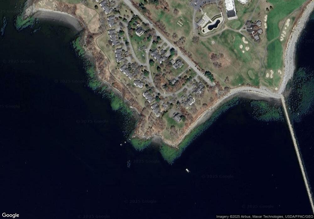
Map
Nearby Homes
- 27 Jameson Point Rd Unit 27
- 27 Jameson Point Rd Unit 7
- 29 Jameson Point Rd
- 25 Jameson Point Rd
- 31 Jameson Point Rd Unit 5
- 33 Jameson Point Rd
- 33 Jameson Point Rd Unit 4
- 35 Jameson Point Rd
- 35 Jameson Point Rd Unit 35
- 35 Jameson Point Rd Unit 3
- 35 Jameson Point Rd Unit 1
- 0 Jameson Point
- 85 Samoset Rd
- 11 Jameson Point Rd
- 37 Jameson Point Rd
- 57 Samoset Rd
- 9 Jameson Point Rd
- 39 Jameson Point Rd
- 7 Jameson Point Rd
- 41 Jameson Point Rd