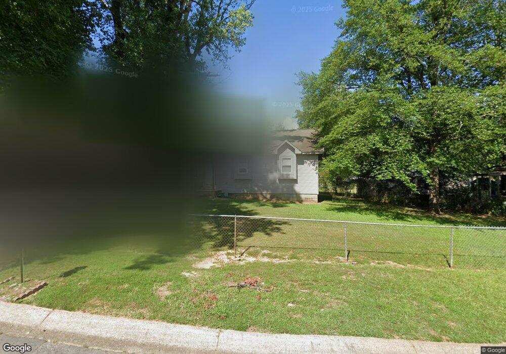
27 John Hancock Cir Jacksonville, AR 72076
Estimated Value: $114,595 - $134,000
--
Bed
1
Bath
1,106
Sq Ft
$112/Sq Ft
Est. Value
About This Home
This home is located at 27 John Hancock Cir, Jacksonville, AR 72076 and is currently estimated at $124,399, approximately $112 per square foot. 27 John Hancock Cir is a home located in Pulaski County with nearby schools including Murrell Taylor Elementary School, Jacksonville Middle School, and Jacksonville High School.
Ownership History
Date
Name
Owned For
Owner Type
Purchase Details
Closed on
Mar 26, 2009
Sold by
Thomas Mark E and Williams Thomas Deborah
Bought by
Williams Thomas Deborah
Current Estimated Value
Home Financials for this Owner
Home Financials are based on the most recent Mortgage that was taken out on this home.
Original Mortgage
$67,450
Outstanding Balance
$42,912
Interest Rate
5.14%
Mortgage Type
Stand Alone Refi Refinance Of Original Loan
Estimated Equity
$81,487
Purchase Details
Closed on
May 19, 2004
Sold by
Weimer James E and Weimer Linda C
Bought by
Thomas Mark E and Williams Thomas Deborah
Home Financials for this Owner
Home Financials are based on the most recent Mortgage that was taken out on this home.
Original Mortgage
$67,900
Interest Rate
5.81%
Mortgage Type
Purchase Money Mortgage
Create a Home Valuation Report for This Property
The Home Valuation Report is an in-depth analysis detailing your home's value as well as a comparison with similar homes in the area
Home Values in the Area
Average Home Value in this Area
Purchase History
| Date | Buyer | Sale Price | Title Company |
|---|---|---|---|
| Williams Thomas Deborah | -- | First American Title | |
| Thomas Mark E | $68,000 | United Abstract & Title Co |
Source: Public Records
Mortgage History
| Date | Status | Borrower | Loan Amount |
|---|---|---|---|
| Open | Williams Thomas Deborah | $67,450 | |
| Closed | Thomas Mark E | $67,900 |
Source: Public Records
Tax History Compared to Growth
Tax History
| Year | Tax Paid | Tax Assessment Tax Assessment Total Assessment is a certain percentage of the fair market value that is determined by local assessors to be the total taxable value of land and additions on the property. | Land | Improvement |
|---|---|---|---|---|
| 2025 | $931 | $18,211 | $1,200 | $17,011 |
| 2024 | $748 | $18,211 | $1,200 | $17,011 |
| 2023 | $748 | $18,211 | $1,200 | $17,011 |
| 2022 | $815 | $18,211 | $1,200 | $17,011 |
| 2021 | $776 | $12,640 | $740 | $11,900 |
| 2020 | $401 | $12,640 | $740 | $11,900 |
| 2019 | $401 | $12,640 | $740 | $11,900 |
| 2018 | $426 | $12,640 | $740 | $11,900 |
| 2017 | $426 | $12,640 | $740 | $11,900 |
| 2016 | $538 | $14,460 | $2,600 | $11,860 |
| 2015 | $778 | $14,460 | $2,600 | $11,860 |
| 2014 | $778 | $14,460 | $2,600 | $11,860 |
Source: Public Records
Map
Nearby Homes
- 1302 King St
- 910 Ray Rd
- 419 Church St
- 602 Ray Rd
- 13 Michelle Ln Unit A
- 134 Pike Ave
- 1404 Southeastern Ave
- 111 Joiner Ave
- 29 Collins Rd
- 1110 Wright St
- 720 Southeastern Ave
- 305 Smart St
- 1401 Tamara Park
- 191 Roosevelt Rd
- 10 Park Dr
- 219 Lonsdale Cir
- 127 Wilson St
- 221 Pearl St
- 109 Galloway Cir
- 114 Wilson St
- 1202 Liberty Dr
- 21 John Hancock Cir
- 25 John Hancock Cir
- 15 John Hancock Cir
- 1204 Liberty Dr
- 0 John Hancock Cir Unit 15028117
- 0 John Hancock Cir Unit 16008072
- 0 John Hancock Cir Unit 18004301
- 0 John Hancock Cir Unit 17029900
- 0 John Hancock Cir Unit 17029898
- 0 John Hancock Cir Unit 17029897
- 0 John Hancock Cir Unit 17029895
- 0 John Hancock Cir Unit 17029868
- 91 John Hancock Cir
- 13 John Hancock Cir
- 34 John Hancock Cir
- 30 John Hancock Cir
- 28 John Hancock Cir
- 32 John Hancock Cir
- 1206 Liberty Dr