Estimated Value: $138,000 - $316,000
2
Beds
1
Bath
784
Sq Ft
$277/Sq Ft
Est. Value
About This Home
This home is located at 27 John Henry Rd, Paris, ME 04281 and is currently estimated at $217,100, approximately $276 per square foot. 27 John Henry Rd is a home located in Oxford County with nearby schools including Paris Elementary School, Oxford Hills Middle School, and Oxford Hills Comprehensive High School.
Ownership History
Date
Name
Owned For
Owner Type
Purchase Details
Closed on
Feb 4, 2021
Sold by
Donovan Maureen R and Donovan Richard L
Bought by
Donovan Maureen R and Donovan Richard L
Current Estimated Value
Home Financials for this Owner
Home Financials are based on the most recent Mortgage that was taken out on this home.
Original Mortgage
$162,698
Interest Rate
2.65%
Mortgage Type
FHA
Create a Home Valuation Report for This Property
The Home Valuation Report is an in-depth analysis detailing your home's value as well as a comparison with similar homes in the area
Home Values in the Area
Average Home Value in this Area
Purchase History
| Date | Buyer | Sale Price | Title Company |
|---|---|---|---|
| Donovan Maureen R | -- | None Available | |
| Donovan Maureen R | -- | None Available |
Source: Public Records
Mortgage History
| Date | Status | Borrower | Loan Amount |
|---|---|---|---|
| Closed | Donovan Maureen R | $162,698 |
Source: Public Records
Tax History Compared to Growth
Tax History
| Year | Tax Paid | Tax Assessment Tax Assessment Total Assessment is a certain percentage of the fair market value that is determined by local assessors to be the total taxable value of land and additions on the property. | Land | Improvement |
|---|---|---|---|---|
| 2024 | $2,030 | $138,500 | $69,300 | $69,200 |
| 2023 | $1,776 | $110,300 | $55,200 | $55,100 |
| 2022 | $1,672 | $112,600 | $55,200 | $57,400 |
| 2021 | $1,649 | $91,600 | $45,200 | $46,400 |
| 2020 | $1,052 | $57,800 | $46,000 | $11,800 |
| 2019 | $1,032 | $58,000 | $46,200 | $11,800 |
| 2018 | $974 | $58,700 | $46,900 | $11,800 |
| 2017 | $967 | $57,800 | $46,000 | $11,800 |
| 2016 | $966 | $57,500 | $45,700 | $11,800 |
| 2015 | $1,140 | $62,300 | $50,000 | $12,300 |
| 2014 | $1,423 | $79,500 | $62,300 | $17,200 |
| 2013 | $1,414 | $79,000 | $61,800 | $17,200 |
Source: Public Records
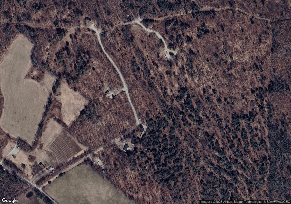
Map
Nearby Homes
- TBD Rose Beck Ln
- 299 & 303 Hebron Rd
- 270 Hebron Rd
- Lot 1 Dunham Ln
- 22 N Town Farm Rd
- R-02-32.1 Oxford St
- 42 Oxford Rd
- Map 07-09A Brett Hill Rd
- 16 Buckfield Rd
- 15 Michaels Way
- 27.9 Cummings Ln
- Lot #2 Lars Dr
- Lot #4 Lars Dr
- Lot #3 Lars Dr
- 48 Gary St
- 56, 58, 62 Main St
- 27 Plains Rd
- 32A Main St
- Lot #4 High Ridge Rd
- 118 Main St
- 21 J Henry Rd
- 0 John Henry Rd Unit 1426868
- 0 John Henry Rd Unit 1464788
- 21 John Henry Rd
- 440 E Oxford Rd
- 442 E Oxford Rd
- 486 E Oxford Rd
- 39 Alyssas Way
- 42 Rosebeck Ln
- 68 John Henry Rd
- 495 E Oxford Rd
- 437 E Oxford Rd
- 424 E Oxford Rd
- Lot 41.5 Alyssa's Way
- 12 Homestead Rd
- 12 Homestead Rd
- 171 Brook Rd
- 87 John Henry Rd
- 24 Alyssas Way
- 15 Alyssas Way