27 Kings Cross Cir Doylestown, PA 18901
Estimated Value: $475,000 - $514,000
3
Beds
3
Baths
2,072
Sq Ft
$238/Sq Ft
Est. Value
About This Home
This home is located at 27 Kings Cross Cir, Doylestown, PA 18901 and is currently estimated at $493,998, approximately $238 per square foot. 27 Kings Cross Cir is a home located in Bucks County with nearby schools including Groveland Elementary School, Tohickon Middle School, and Central Bucks High School-West.
Ownership History
Date
Name
Owned For
Owner Type
Purchase Details
Closed on
Jul 31, 2013
Sold by
Spink Marsh B and Spink Helyn M
Bought by
Ivins Patricia A
Current Estimated Value
Home Financials for this Owner
Home Financials are based on the most recent Mortgage that was taken out on this home.
Original Mortgage
$180,000
Outstanding Balance
$134,179
Interest Rate
4.45%
Mortgage Type
New Conventional
Estimated Equity
$359,819
Purchase Details
Closed on
Mar 2, 1990
Bought by
Spink Marsh B and Spink Helyn M
Create a Home Valuation Report for This Property
The Home Valuation Report is an in-depth analysis detailing your home's value as well as a comparison with similar homes in the area
Home Values in the Area
Average Home Value in this Area
Purchase History
| Date | Buyer | Sale Price | Title Company |
|---|---|---|---|
| Ivins Patricia A | $265,000 | None Available | |
| Spink Marsh B | $980,000 | -- |
Source: Public Records
Mortgage History
| Date | Status | Borrower | Loan Amount |
|---|---|---|---|
| Open | Ivins Patricia A | $180,000 |
Source: Public Records
Tax History Compared to Growth
Tax History
| Year | Tax Paid | Tax Assessment Tax Assessment Total Assessment is a certain percentage of the fair market value that is determined by local assessors to be the total taxable value of land and additions on the property. | Land | Improvement |
|---|---|---|---|---|
| 2025 | $5,047 | $28,520 | -- | $28,520 |
| 2024 | $5,047 | $28,520 | $0 | $28,520 |
| 2023 | $4,812 | $28,520 | $0 | $28,520 |
| 2022 | $4,759 | $28,520 | $0 | $28,520 |
| 2021 | $4,661 | $28,520 | $0 | $28,520 |
| 2020 | $4,639 | $28,520 | $0 | $28,520 |
| 2019 | $4,590 | $28,520 | $0 | $28,520 |
| 2018 | $4,575 | $28,520 | $0 | $28,520 |
| 2017 | $4,540 | $28,520 | $0 | $28,520 |
| 2016 | $4,511 | $28,520 | $0 | $28,520 |
| 2015 | -- | $28,520 | $0 | $28,520 |
| 2014 | -- | $28,520 | $0 | $28,520 |
Source: Public Records
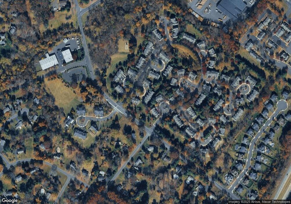
Map
Nearby Homes
- 194 Victoria Ct Unit 143
- 100 Bishops Gate Ln Unit 67
- 114 Blackfriars Cir
- 301 Windy Run Rd
- 3723 William Daves Rd
- 3765 William Daves Rd
- 3711 Jacob Stout Rd Unit 5
- 4748 Bishop Cir
- 3838 Jacob Stout Rd
- 90 Chapman Ave
- 418 North St
- 1 Gatehouse Ln
- 62 Constitution Ave
- 4 Old Colonial Dr Unit 254
- 333 Dorset Ct Unit 333
- 3923 Ferry Rd
- 169 N Main St
- 146 N Church St
- 215 N Franklin St
- 157 Pine Run Rd
- 26 Kings Cross Cir Unit 235
- 25 Kings Cross Cir Unit 234
- 24 Kings Cross Cir Unit 233
- 24 Kings Cross Cir
- 28 Kings Cross Cir
- 23 Kings Cross Cir Unit 232
- 29 Kings Cross Cir Unit 238
- 22 Kings Cross Cir Unit 231
- 232 Gatehouse Cir Unit 181
- 233 Gatehouse Cir Unit 182
- 30 Kings Cross Cir Unit 239
- 231 Gatehouse Cir Unit 180
- 21 Kings Cross Cir
- 234 Gatehouse Cir Unit 183
- 31 Kings Cross Cir Unit 240
- 230 Gatehouse Cir Unit 179
- 235 Gatehouse Cir Unit 184
- 236 Gatehouse Cir Unit 185
- 229 Gatehouse Cir Unit 178
- 20 Kings Cross Cir