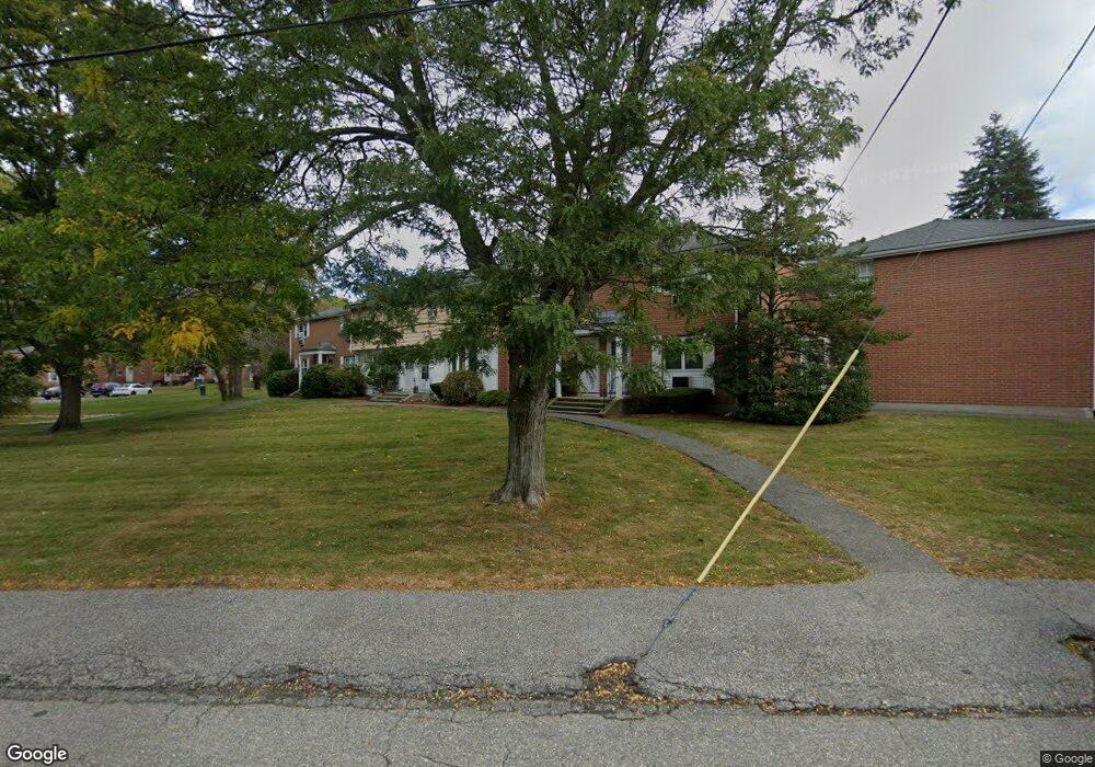
27 Kingston St Unit 27 North Andover, MA 01845
Estimated Value: $381,000 - $418,000
3
Beds
2
Baths
1,101
Sq Ft
$361/Sq Ft
Est. Value
About This Home
This home is located at 27 Kingston St Unit 27, North Andover, MA 01845 and is currently estimated at $397,602, approximately $361 per square foot. 27 Kingston St Unit 27 is a home located in Essex County with nearby schools including Franklin Elementary School, North Andover Middle School, and North Andover High School.
Ownership History
Date
Name
Owned For
Owner Type
Purchase Details
Closed on
Oct 2, 2006
Sold by
Lush Bernice E
Bought by
Abreu Yannirys and Abreu Yannirys I
Current Estimated Value
Home Financials for this Owner
Home Financials are based on the most recent Mortgage that was taken out on this home.
Original Mortgage
$179,600
Outstanding Balance
$107,526
Interest Rate
6.52%
Mortgage Type
Purchase Money Mortgage
Estimated Equity
$290,076
Create a Home Valuation Report for This Property
The Home Valuation Report is an in-depth analysis detailing your home's value as well as a comparison with similar homes in the area
Home Values in the Area
Average Home Value in this Area
Purchase History
| Date | Buyer | Sale Price | Title Company |
|---|---|---|---|
| Abreu Yannirys | $224,500 | -- |
Source: Public Records
Mortgage History
| Date | Status | Borrower | Loan Amount |
|---|---|---|---|
| Open | Abreu Yannirys | $179,600 |
Source: Public Records
Tax History Compared to Growth
Tax History
| Year | Tax Paid | Tax Assessment Tax Assessment Total Assessment is a certain percentage of the fair market value that is determined by local assessors to be the total taxable value of land and additions on the property. | Land | Improvement |
|---|---|---|---|---|
| 2025 | $3,931 | $349,100 | $0 | $349,100 |
| 2024 | $3,493 | $315,000 | $0 | $315,000 |
| 2023 | $3,581 | $292,600 | $0 | $292,600 |
| 2022 | $3,669 | $271,200 | $0 | $271,200 |
| 2021 | $3,550 | $250,500 | $0 | $250,500 |
| 2020 | $3,300 | $240,200 | $0 | $240,200 |
| 2019 | $2,946 | $219,700 | $0 | $219,700 |
| 2018 | $3,192 | $219,700 | $0 | $219,700 |
| 2017 | $2,468 | $172,800 | $0 | $172,800 |
| 2016 | $2,349 | $164,600 | $0 | $164,600 |
| 2015 | $2,059 | $143,100 | $0 | $143,100 |
Source: Public Records
Map
Nearby Homes
- 7 Kingston St
- 13 Kingston St Unit 94
- 190 Chickering Rd Unit 204D
- 190 Chickering Rd Unit 201D
- 180 Chickering Rd Unit 204C
- 74 Hewitt Ave
- 75 Edgelawn Ave Unit 2
- 170 Haverhill St Unit 138
- 40 Fernview Ave Unit 11
- 52 Fernview Ave Unit 7
- 58 Berkeley Rd
- 90 Edgelawn Ave Unit 1
- 35 Fernview Ave Unit 5
- 25 Fernview Ave Unit 8
- 23 Fernview Ave Unit 1
- 19 Fernview Ave Unit 6
- 125 Phillips Brooks Rd
- 1 Longwood Dr Unit 105
- 174 Chestnut St Unit 14
- 3 Great Pond Rd
- 33 Kingston St
- 31 Kingston St
- 29 Kingston St
- 27 Kingston St
- 25 Kingston St
- 19 Kingston St
- 33 Kingston St Unit 33
- 23 Kingston St
- 21 Kingston St
- 21 Kingston St Unit 97
- 21 Kingston St Unit 1; 97
- 15 Kingston St
- 11 Kingston St
- 9 Kingston St
- 5 Kingston St
- 3 Kingston St
- 1 Kingston St
- 9 Kingston St
- 1 Kingston St Unit 88, 1
- 9 Kingston St Unit 9