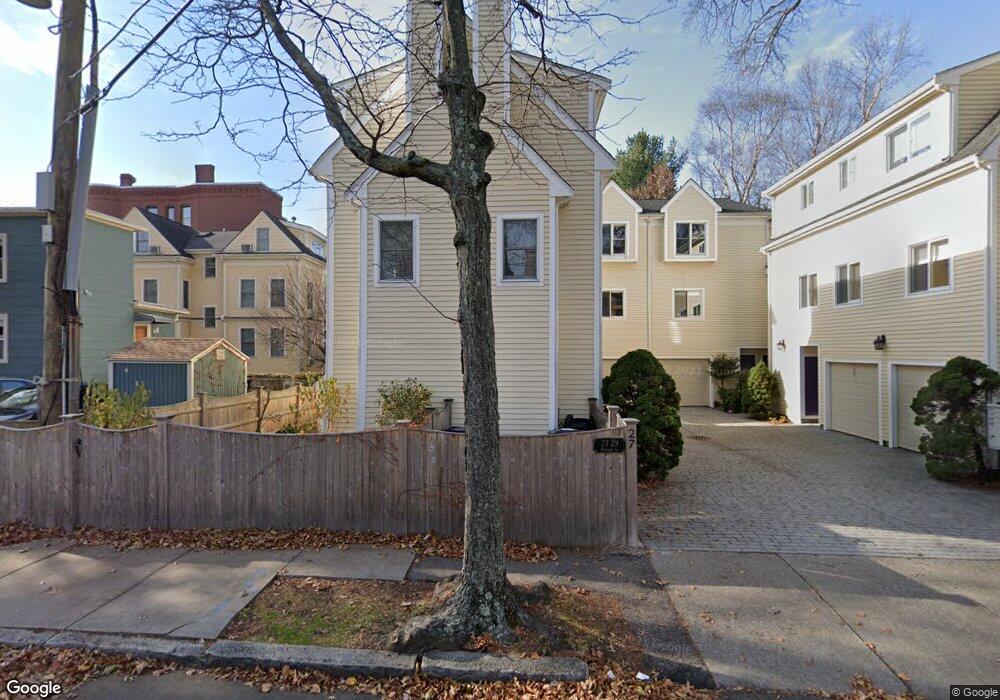
27 Kinnaird St Unit 29 Cambridge, MA 02139
Riverside NeighborhoodEstimated Value: $1,167,000 - $1,307,000
2
Beds
3
Baths
1,233
Sq Ft
$1,019/Sq Ft
Est. Value
About This Home
This home is located at 27 Kinnaird St Unit 29, Cambridge, MA 02139 and is currently estimated at $1,256,585, approximately $1,019 per square foot. 27 Kinnaird St Unit 29 is a home located in Middlesex County with nearby schools including Prospect Hill Academy Charter School and Saint Paul's Choir School.
Ownership History
Date
Name
Owned For
Owner Type
Purchase Details
Closed on
Feb 27, 1995
Sold by
Ellenberger Thomas E and Ellenberger Mary A
Bought by
Murphy Matthew T
Current Estimated Value
Purchase Details
Closed on
Dec 6, 1988
Sold by
Sttr 27-31 Kinnaird
Bought by
Ellenberger Thomas E
Create a Home Valuation Report for This Property
The Home Valuation Report is an in-depth analysis detailing your home's value as well as a comparison with similar homes in the area
Home Values in the Area
Average Home Value in this Area
Purchase History
| Date | Buyer | Sale Price | Title Company |
|---|---|---|---|
| Murphy Matthew T | $228,000 | -- | |
| Ellenberger Thomas E | $235,000 | -- |
Source: Public Records
Mortgage History
| Date | Status | Borrower | Loan Amount |
|---|---|---|---|
| Closed | Ellenberger Thomas E | $180,000 | |
| Closed | Ellenberger Thomas E | $101,000 | |
| Closed | Ellenberger Thomas E | $185,000 |
Source: Public Records
Tax History Compared to Growth
Tax History
| Year | Tax Paid | Tax Assessment Tax Assessment Total Assessment is a certain percentage of the fair market value that is determined by local assessors to be the total taxable value of land and additions on the property. | Land | Improvement |
|---|---|---|---|---|
| 2025 | $7,040 | $1,108,600 | $0 | $1,108,600 |
| 2024 | $6,404 | $1,081,800 | $0 | $1,081,800 |
| 2023 | $6,050 | $1,032,400 | $0 | $1,032,400 |
| 2022 | $5,819 | $983,000 | $0 | $983,000 |
| 2021 | $5,510 | $941,900 | $0 | $941,900 |
| 2020 | $5,169 | $899,000 | $0 | $899,000 |
| 2019 | $4,969 | $836,500 | $0 | $836,500 |
| 2018 | $4,846 | $770,500 | $0 | $770,500 |
| 2017 | $4,709 | $725,600 | $0 | $725,600 |
| 2016 | $4,569 | $653,600 | $0 | $653,600 |
| 2015 | $4,321 | $552,500 | $0 | $552,500 |
| 2014 | $4,285 | $511,300 | $0 | $511,300 |
Source: Public Records
Map
Nearby Homes
- 53 Jay St Unit 2
- 73 River St Unit 4B
- 1 Jay St
- 300 Franklin St Unit 5
- 300 Franklin St Unit 1
- 300 Franklin St Unit 2
- 515 Franklin St Unit 4
- 863 Massachusetts Ave Unit 25
- 930 Massachusetts Ave
- 931 Massachusetts Ave Unit 1003
- 950 Massachusetts Ave Unit 418
- 950 Massachusetts Ave Unit 512
- 950 Massachusetts Ave Unit 504
- 950 Massachusetts Ave Unit 417
- 2 Hingham St
- 12 Inman St Unit 55
- 149A Bishop Allen Unit A
- 5 Centre St Unit 32
- 30 Bigelow St Unit B
- 129 Auburn St
- 27 Kinnaird St Unit 4
- 27 Kinnaird St Unit 29
- 27 Kinnaird St Unit 29
- 27 Kinnaird St Unit 2
- 27 Kinnaird St Unit 2 27
- 27 Kinnaird St
- 27 Kinnaird St Unit 3
- 31 Kinnaird St
- 1 Jay Street Place
- 33 Kinnaird St
- 155 Western Ave
- 165 Western Ave
- 26 Jay St Unit 25-1
- 175 Western Ave
- 169 Western Ave Unit 169 Western Ave
- 169 Western Ave Unit 3
- 169 Western Ave
- 169 Western Ave Unit 4
- 35 Kinnaird St
- 28 Jay St