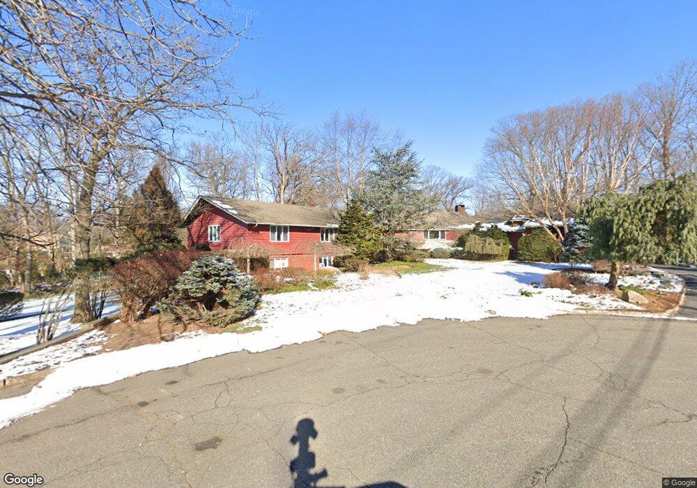
27 Lancaster Rd Tenafly, NJ 07670
Estimated Value: $2,833,894 - $3,516,000
--
Bed
--
Bath
4,781
Sq Ft
$651/Sq Ft
Est. Value
About This Home
This home is located at 27 Lancaster Rd, Tenafly, NJ 07670 and is currently estimated at $3,111,631, approximately $650 per square foot. 27 Lancaster Rd is a home located in Bergen County with nearby schools including Tenafly Middle School, Tenafly High School, and The Elisabeth Morrow School.
Ownership History
Date
Name
Owned For
Owner Type
Purchase Details
Closed on
Jul 29, 1994
Sold by
Singleton Don and Singleton Carrie
Bought by
Goodman Karl and Goodman Tami
Current Estimated Value
Home Financials for this Owner
Home Financials are based on the most recent Mortgage that was taken out on this home.
Original Mortgage
$500,000
Interest Rate
8.4%
Create a Home Valuation Report for This Property
The Home Valuation Report is an in-depth analysis detailing your home's value as well as a comparison with similar homes in the area
Home Values in the Area
Average Home Value in this Area
Purchase History
| Date | Buyer | Sale Price | Title Company |
|---|---|---|---|
| Goodman Karl | $725,000 | -- |
Source: Public Records
Mortgage History
| Date | Status | Borrower | Loan Amount |
|---|---|---|---|
| Closed | Goodman Karl | $500,000 |
Source: Public Records
Tax History Compared to Growth
Tax History
| Year | Tax Paid | Tax Assessment Tax Assessment Total Assessment is a certain percentage of the fair market value that is determined by local assessors to be the total taxable value of land and additions on the property. | Land | Improvement |
|---|---|---|---|---|
| 2025 | $48,914 | $1,721,700 | $1,197,600 | $524,100 |
| 2024 | $47,726 | $1,721,700 | $1,197,600 | $524,100 |
| 2023 | $46,572 | $1,721,700 | $1,197,600 | $524,100 |
| 2022 | $46,572 | $1,721,700 | $1,197,600 | $524,100 |
| 2021 | $45,503 | $1,811,700 | $1,197,600 | $614,100 |
| 2020 | $47,430 | $1,811,700 | $1,197,600 | $614,100 |
| 2019 | $46,597 | $1,811,700 | $1,197,600 | $614,100 |
| 2018 | $45,872 | $1,811,700 | $1,197,600 | $614,100 |
| 2017 | $45,709 | $1,811,700 | $1,197,600 | $614,100 |
| 2016 | $44,803 | $1,811,700 | $1,197,600 | $614,100 |
| 2015 | $43,807 | $1,811,700 | $1,197,600 | $614,100 |
| 2014 | $42,992 | $1,811,700 | $1,197,600 | $614,100 |
Source: Public Records
Map
Nearby Homes
- 30 Lancaster Rd
- 295 Woodland St
- 17 Lancaster Rd
- 285 Woodland St
- 20 Lancaster Rd
- 22 Lancaster Rd
- 16 Lancaster Rd
- 273 Woodland St
- 10 Lancaster Rd
- 290 Woodland St
- 298 Woodland St
- 121 Kent Rd
- 282 Woodland St
- 145 Kent Rd
- 6 Lancaster Rd
- 274 Woodland St
- 133 Kent Rd
- 109 Kent Rd
- 262 Woodland St
- 254 Woodland St