Estimated Value: $600,558 - $880,000
Studio
--
Bath
1,337
Sq Ft
$551/Sq Ft
Est. Value
About This Home
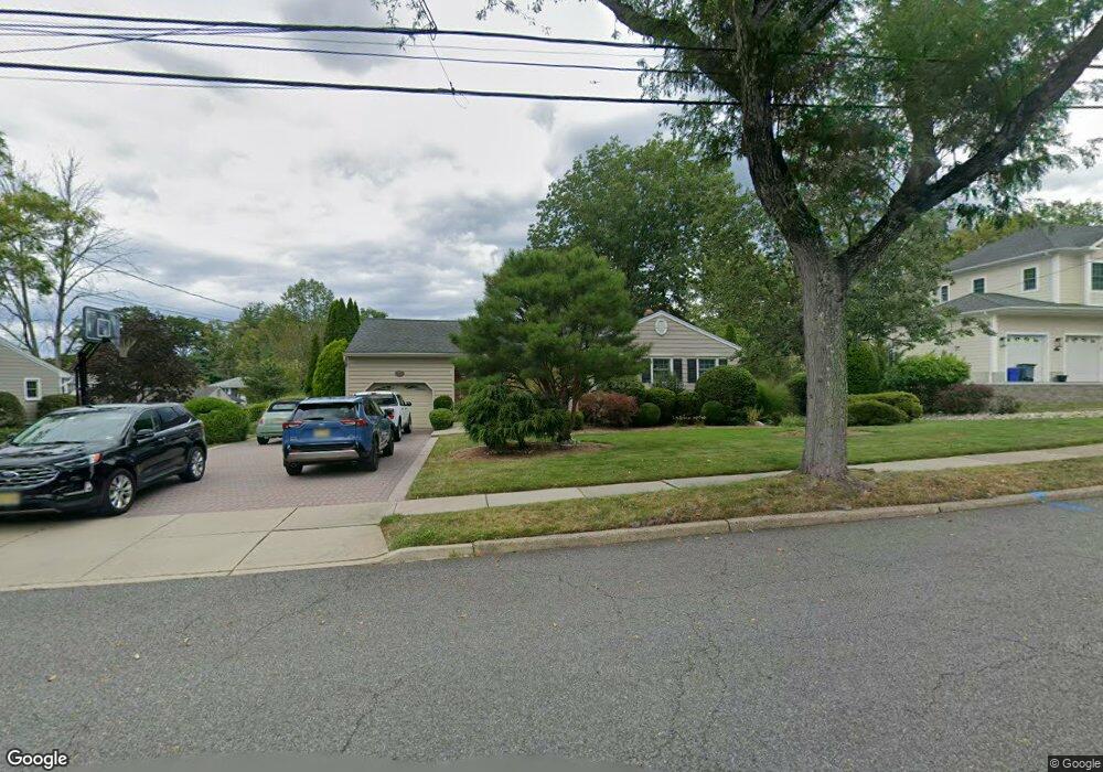
This home is located at 27 Larkspur Rd, Wayne, NJ 07470 and is currently estimated at $737,140, approximately $551 per square foot. 27 Larkspur Rd is a home located in Passaic County with nearby schools including Lafayette Elementary School, Anthony Wayne Middle School, and Wayne Valley High School.
Ownership History
Date
Name
Owned For
Owner Type
Purchase Details
Closed on
Aug 21, 2024
Sold by
Dellecava Patrick R and Dellecava Karen
Bought by
Dellecava Nicholas and Hanke Deandra
Current Estimated Value
Home Financials for this Owner
Home Financials are based on the most recent Mortgage that was taken out on this home.
Original Mortgage
$375,000
Interest Rate
6.35%
Mortgage Type
New Conventional
Purchase Details
Closed on
Sep 11, 1996
Sold by
Powell Robert Sharon
Bought by
Dellacava Patrick and Delleacava Karen
Home Financials for this Owner
Home Financials are based on the most recent Mortgage that was taken out on this home.
Original Mortgage
$192,000
Interest Rate
7.83%
Create a Home Valuation Report for This Property
The Home Valuation Report is an in-depth analysis detailing your home's value as well as a comparison with similar homes in the area
Home Values in the Area
Average Home Value in this Area
Purchase History
| Date | Buyer | Sale Price | Title Company |
|---|---|---|---|
| Dellecava Nicholas | $600,000 | Chicago Title | |
| Dellecava Nicholas | $600,000 | Chicago Title | |
| Dellacava Patrick | $240,000 | -- |
Source: Public Records
Mortgage History
| Date | Status | Borrower | Loan Amount |
|---|---|---|---|
| Previous Owner | Dellecava Nicholas | $375,000 | |
| Previous Owner | Dellacava Patrick | $192,000 |
Source: Public Records
Tax History
| Year | Tax Paid | Tax Assessment Tax Assessment Total Assessment is a certain percentage of the fair market value that is determined by local assessors to be the total taxable value of land and additions on the property. | Land | Improvement |
|---|---|---|---|---|
| 2025 | $12,671 | $213,100 | $121,400 | $91,700 |
| 2024 | $12,185 | $213,100 | $121,400 | $91,700 |
Source: Public Records
Map
Nearby Homes
- 24 Holmes Ln
- 51 Carlisle Rd
- 61 Carlisle Rd
- 69 Colonial Rd
- 70 Weinmanns Blvd
- 14 Louisa Ct
- 28 Battle Ridge Trail
- 4 Highfield Ct
- 125 Hamilton Trail
- 107 Hamilton Trail
- 92 Independence Trail
- 92 Independence Trail Unit 1004
- 108 Hamilton Trail
- 4 Generals Ln
- 316-318 Maitland Ave
- 7 Lookout Point Trail
- 226 Barnert Ave
- 339 Boyle Ave
- 20 Maljim Ct
- 51 Columbus Ave
- 23 Larkspur Rd
- 26 Larkspur Rd
- 30 Larkspur Rd
- 22 Larkspur Rd
- 31 Larkspur Rd
- 19 Larkspur Rd
- 36 Larkspur Rd
- 20 Normandy Dr
- 24 Normandy Dr
- 14 Normandy Dr
- 63 Harmer Terrace
- 67 Harmer Terrace
- 28 Normandy Dr
- 10 Normandy Dr
- 15 Larkspur Rd
- 21 Normandy Dr
- 17 Normandy Dr
- 71 Harmer Terrace
- 25 Normandy Dr
- 13 Normandy Dr
Your Personal Tour Guide
Ask me questions while you tour the home.