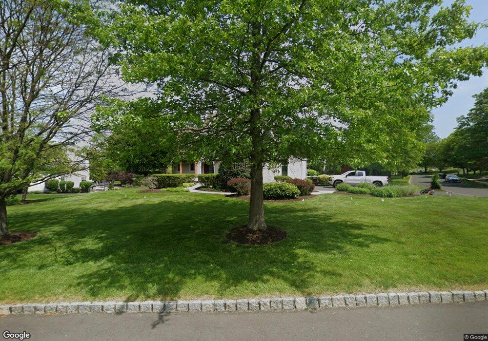
27 Leapson Ln Doylestown, PA 18901
Estimated Value: $931,200 - $974,000
4
Beds
3
Baths
3,476
Sq Ft
$274/Sq Ft
Est. Value
About This Home
This home is located at 27 Leapson Ln, Doylestown, PA 18901 and is currently estimated at $951,550, approximately $273 per square foot. 27 Leapson Ln is a home located in Bucks County with nearby schools including Mill Creek Elementary School, Unami Middle School, and Central Bucks High School - South.
Ownership History
Date
Name
Owned For
Owner Type
Purchase Details
Closed on
Feb 16, 1999
Sold by
Cedarcrest Farm Ltd Partnership
Bought by
Bauer Christopher L and Bauer Michelle L
Current Estimated Value
Home Financials for this Owner
Home Financials are based on the most recent Mortgage that was taken out on this home.
Original Mortgage
$82,000
Outstanding Balance
$19,409
Interest Rate
6.74%
Mortgage Type
Seller Take Back
Estimated Equity
$932,141
Create a Home Valuation Report for This Property
The Home Valuation Report is an in-depth analysis detailing your home's value as well as a comparison with similar homes in the area
Home Values in the Area
Average Home Value in this Area
Purchase History
| Date | Buyer | Sale Price | Title Company |
|---|---|---|---|
| Bauer Christopher L | $92,000 | -- |
Source: Public Records
Mortgage History
| Date | Status | Borrower | Loan Amount |
|---|---|---|---|
| Open | Bauer Christopher L | $82,000 |
Source: Public Records
Tax History
| Year | Tax Paid | Tax Assessment Tax Assessment Total Assessment is a certain percentage of the fair market value that is determined by local assessors to be the total taxable value of land and additions on the property. | Land | Improvement |
|---|---|---|---|---|
| 2025 | $10,483 | $59,240 | $7,840 | $51,400 |
| 2024 | $10,483 | $59,240 | $7,840 | $51,400 |
| 2023 | $9,996 | $59,240 | $7,840 | $51,400 |
| 2022 | $9,885 | $59,240 | $7,840 | $51,400 |
| 2021 | $9,681 | $59,240 | $7,840 | $51,400 |
| 2020 | $9,637 | $59,240 | $7,840 | $51,400 |
| 2019 | $9,533 | $59,240 | $7,840 | $51,400 |
| 2018 | $9,504 | $59,240 | $7,840 | $51,400 |
| 2017 | $9,430 | $59,240 | $7,840 | $51,400 |
| 2016 | $9,370 | $59,240 | $7,840 | $51,400 |
| 2015 | -- | $59,240 | $7,840 | $51,400 |
| 2014 | -- | $59,240 | $7,840 | $51,400 |
Source: Public Records
Map
Nearby Homes
- 8 Elizabeth Ln
- 1 Elizabeth Ln
- 977 Hickory Ridge Dr
- 240 Green Valley Way
- 124 Jameson Way Unit 9 WARWICK INTERIOR
- 130 Jameson Way Unit 12 WARWICK END
- 126 Jameson Way Unit 10 WARWICK INTERIOR
- 128 Jameson Way Unit 11 WARWICK INTERIOR
- 120 Jameson Way Unit 7 WARWICK END
- 122 Jameson Way Unit 8 STRATFORD INTERIOR
- 0001 Jameson Way Unit BASE WARWICK INT
- 0002 Jameson Way Unit BASE STRATFORD INT
- 981 Scarlet Oak Dr
- 23 Mill Creek Dr
- 930 Red Coat Farm Dr
- 12 Warren Dr
- 349 W Butler Ave
- 2 Warren Dr
- 34 Warren Dr Unit 16
- 30 Warren Dr Unit 14
- 25 Leapson Ln
- 17 Cedar Crest Ct
- 20 Cedar Crest Ct
- 27 Cedar Crest Ct
- 23 Leapson Ln
- 22 Cedar Crest Ct
- 18 Cedar Crest Ct
- 28 Leapson Ln
- 26 Leapson Ln
- 29 Cedar Crest Ct
- 21 Leapson Ln
- 24 Cedar Crest Ct
- 24 Leapson Ln
- 16 Cedar Crest Ct
- 31 Cedar Crest Ct
- 11 Cedar Crest Ct
- 1 Burke Cir
- 2 Burke Cir
- 22 Leapson Ln
- 28 Cedar Crest Ct
Your Personal Tour Guide
Ask me questions while you tour the home.