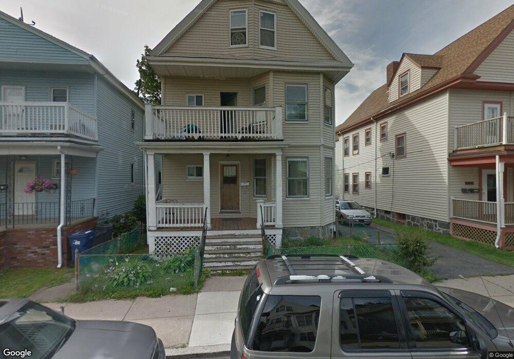
27 Lonsdale St Dorchester Center, MA 02124
Saint Marks NeighborhoodEstimated Value: $991,000 - $1,181,000
8
Beds
2
Baths
2,998
Sq Ft
$359/Sq Ft
Est. Value
About This Home
This home is located at 27 Lonsdale St, Dorchester Center, MA 02124 and is currently estimated at $1,076,664, approximately $359 per square foot. 27 Lonsdale St is a home located in Suffolk County with nearby schools including Codman Academy Charter Public School, UP Academy Charter School of Dorchester, and Conservatory Lab Upper School.
Ownership History
Date
Name
Owned For
Owner Type
Purchase Details
Closed on
Nov 3, 2000
Sold by
Boussuet Cederne
Bought by
Bien-Aime Marleta B and Bien-Aime Jeantius B
Current Estimated Value
Home Financials for this Owner
Home Financials are based on the most recent Mortgage that was taken out on this home.
Original Mortgage
$95,000
Interest Rate
7.83%
Mortgage Type
Purchase Money Mortgage
Purchase Details
Closed on
Jun 20, 1994
Sold by
Walsh Robert E and Ventura Helen C
Bought by
Bossuet Cederne
Create a Home Valuation Report for This Property
The Home Valuation Report is an in-depth analysis detailing your home's value as well as a comparison with similar homes in the area
Home Values in the Area
Average Home Value in this Area
Purchase History
| Date | Buyer | Sale Price | Title Company |
|---|---|---|---|
| Bien-Aime Marleta B | $162,000 | -- | |
| Bossuet Cederne | $65,000 | -- |
Source: Public Records
Mortgage History
| Date | Status | Borrower | Loan Amount |
|---|---|---|---|
| Open | Bossuet Cederne | $185,000 | |
| Closed | Bossuet Cederne | $152,250 | |
| Closed | Bossuet Cederne | $135,000 | |
| Closed | Bossuet Cederne | $95,000 |
Source: Public Records
Tax History Compared to Growth
Tax History
| Year | Tax Paid | Tax Assessment Tax Assessment Total Assessment is a certain percentage of the fair market value that is determined by local assessors to be the total taxable value of land and additions on the property. | Land | Improvement |
|---|---|---|---|---|
| 2025 | $9,200 | $794,500 | $243,700 | $550,800 |
| 2024 | $8,562 | $785,500 | $245,400 | $540,100 |
| 2023 | $7,740 | $720,700 | $225,200 | $495,500 |
| 2022 | $7,258 | $667,100 | $208,400 | $458,700 |
| 2021 | $6,653 | $623,500 | $194,800 | $428,700 |
| 2020 | $5,811 | $550,300 | $182,200 | $368,100 |
| 2019 | $5,263 | $499,300 | $143,700 | $355,600 |
| 2018 | $5,233 | $499,300 | $143,700 | $355,600 |
| 2017 | $4,807 | $453,900 | $143,700 | $310,200 |
| 2016 | $4,710 | $428,200 | $143,700 | $284,500 |
| 2015 | $4,575 | $377,800 | $115,700 | $262,100 |
| 2014 | $4,163 | $330,900 | $115,700 | $215,200 |
Source: Public Records
Map
Nearby Homes
- 18 Santuit St
- 23 Roseland St
- 61 Shepton St
- 54 Msgr Patrick j Lydon Way
- 37 Msgr Patrick j Lydon Way
- 45 Msgr Patrick j Lydon Way
- 80-84 Shepton St Unit 80-3
- 51 Florida St Unit 3
- 9-11 Adanac Terrace
- 131 Centre St
- 41 King St Unit 1
- 123-125 Centre St Unit TH 6
- 123-125 Centre St Unit TH4
- 543 Adams St Unit 24
- 438 Talbot Ave
- 19 Nixon St
- 15 Mather St
- 334 Centre St Unit 101
- 334 Centre St Unit 2
- 17 Lafield St Unit 2
- 25 Lonsdale St
- 31 Lonsdale St
- 38 Shepton St
- 42 Shepton St
- 21 Lonsdale St
- 35 Lonsdale St
- 35 Lonsdale St Unit 1
- 35 Lonsdale St Unit 2
- 35 Lonsdale St Unit 3
- 36 Shepton St
- 46 Shepton St
- 46 Shepton St Unit 1
- 46 Shepton St Unit A
- 46 Shepton St Unit 2
- 34 Lonsdale St
- 34 Lonsdale St Unit 1
- 34 Lonsdale St Unit 2
- 28 Lonsdale St
- 34 Shepton St
- 26 Lonsdale St