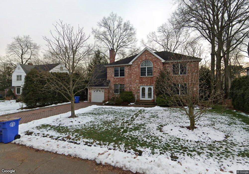
27 Louise Ln Tenafly, NJ 07670
Estimated Value: $1,378,913 - $1,732,000
--
Bed
--
Bath
2,554
Sq Ft
$579/Sq Ft
Est. Value
About This Home
This home is located at 27 Louise Ln, Tenafly, NJ 07670 and is currently estimated at $1,478,728, approximately $578 per square foot. 27 Louise Ln is a home located in Bergen County with nearby schools including Tenafly Middle School, Tenafly High School, and Academy of Our Lady of Mount Carmel.
Ownership History
Date
Name
Owned For
Owner Type
Purchase Details
Closed on
Aug 12, 2003
Sold by
Nunez Francisco
Bought by
Zlotnick Peter and Zlotnick Ronni
Current Estimated Value
Home Financials for this Owner
Home Financials are based on the most recent Mortgage that was taken out on this home.
Original Mortgage
$595,000
Outstanding Balance
$260,105
Interest Rate
5.52%
Estimated Equity
$1,218,623
Purchase Details
Closed on
Oct 11, 2002
Sold by
Defranca Andre
Bought by
Nunes Francisco
Purchase Details
Closed on
Jun 28, 2002
Sold by
Hunter Edward J
Bought by
Defranca Andre
Home Financials for this Owner
Home Financials are based on the most recent Mortgage that was taken out on this home.
Original Mortgage
$355,500
Interest Rate
6.73%
Purchase Details
Closed on
Jul 22, 1999
Sold by
Hunter Edward J and Hunter Lois D
Bought by
Hunter Edward J
Create a Home Valuation Report for This Property
The Home Valuation Report is an in-depth analysis detailing your home's value as well as a comparison with similar homes in the area
Home Values in the Area
Average Home Value in this Area
Purchase History
| Date | Buyer | Sale Price | Title Company |
|---|---|---|---|
| Zlotnick Peter | $870,000 | -- | |
| Nunes Francisco | $177,750 | -- | |
| Defranca Andre | $395,000 | -- | |
| Hunter Edward J | -- | -- |
Source: Public Records
Mortgage History
| Date | Status | Borrower | Loan Amount |
|---|---|---|---|
| Open | Zlotnick Peter | $595,000 | |
| Previous Owner | Defranca Andre | $355,500 |
Source: Public Records
Tax History Compared to Growth
Tax History
| Year | Tax Paid | Tax Assessment Tax Assessment Total Assessment is a certain percentage of the fair market value that is determined by local assessors to be the total taxable value of land and additions on the property. | Land | Improvement |
|---|---|---|---|---|
| 2025 | $21,938 | $772,200 | $378,600 | $393,600 |
| 2024 | $21,405 | $772,200 | $378,600 | $393,600 |
| 2023 | $20,888 | $772,200 | $378,600 | $393,600 |
| 2022 | $20,888 | $772,200 | $378,600 | $393,600 |
| 2021 | $20,517 | $772,200 | $378,600 | $393,600 |
| 2020 | $20,216 | $772,200 | $378,600 | $393,600 |
| 2019 | $19,861 | $772,200 | $378,600 | $393,600 |
| 2018 | $19,552 | $772,200 | $378,600 | $393,600 |
| 2017 | $19,483 | $772,200 | $378,600 | $393,600 |
| 2016 | $19,097 | $772,200 | $378,600 | $393,600 |
| 2015 | $18,672 | $772,200 | $378,600 | $393,600 |
| 2014 | $18,324 | $772,200 | $378,600 | $393,600 |
Source: Public Records
Map
Nearby Homes
- 46 Benjamin Rd
- 57 George St
- 48 Windsor Rd
- 230 Knickerbocker Rd
- 76 Franklin St Unit B
- 52 Surrey Ln
- 58 Country Club Rd
- 54 Westervelt Ave Unit B
- 43 Oak Ave
- 152 W Clinton Ave
- 54 Oak Ave
- 302 W Clinton Ave
- 20 Westervelt Ave
- 27 W Clinton Ave Unit 2-M
- 63 W Hudson Ave Unit C5
- 12 Westervelt Ave
- 151 Mackay Dr
- 51 W Hudson Ave Unit 16
- 202 Pleasant Ave
- 401 Conrad Rd