27 Lyon Rd Chestnut Hill, MA 02467
South Brookline NeighborhoodEstimated Value: $1,459,509 - $2,250,000
4
Beds
3
Baths
1,668
Sq Ft
$1,033/Sq Ft
Est. Value
About This Home
This home is located at 27 Lyon Rd, Chestnut Hill, MA 02467 and is currently estimated at $1,722,877, approximately $1,032 per square foot. 27 Lyon Rd is a home located in Norfolk County with nearby schools including Baker School, Mount Alvernia Academy, and Brimmer & May School.
Ownership History
Date
Name
Owned For
Owner Type
Purchase Details
Closed on
Jan 21, 2021
Sold by
Gerstel Helene
Bought by
Gerstel-Friedman Felice E and Oliveri Michael A
Current Estimated Value
Home Financials for this Owner
Home Financials are based on the most recent Mortgage that was taken out on this home.
Original Mortgage
$548,250
Outstanding Balance
$489,315
Interest Rate
2.71%
Mortgage Type
Purchase Money Mortgage
Estimated Equity
$1,233,562
Create a Home Valuation Report for This Property
The Home Valuation Report is an in-depth analysis detailing your home's value as well as a comparison with similar homes in the area
Home Values in the Area
Average Home Value in this Area
Purchase History
| Date | Buyer | Sale Price | Title Company |
|---|---|---|---|
| Gerstel-Friedman Felice E | $1,100,000 | None Available |
Source: Public Records
Mortgage History
| Date | Status | Borrower | Loan Amount |
|---|---|---|---|
| Open | Gerstel-Friedman Felice E | $548,250 |
Source: Public Records
Tax History Compared to Growth
Tax History
| Year | Tax Paid | Tax Assessment Tax Assessment Total Assessment is a certain percentage of the fair market value that is determined by local assessors to be the total taxable value of land and additions on the property. | Land | Improvement |
|---|---|---|---|---|
| 2025 | $12,865 | $1,303,400 | $802,500 | $500,900 |
| 2024 | $12,279 | $1,256,800 | $771,600 | $485,200 |
| 2023 | $11,083 | $1,111,600 | $625,700 | $485,900 |
| 2022 | $10,788 | $1,058,700 | $595,900 | $462,800 |
| 2021 | $9,845 | $1,004,600 | $573,000 | $431,600 |
| 2020 | $8,945 | $946,600 | $520,900 | $425,700 |
| 2019 | $8,447 | $901,500 | $496,100 | $405,400 |
| 2018 | $8,127 | $859,100 | $496,100 | $363,000 |
| 2017 | $7,806 | $790,100 | $468,000 | $322,100 |
| 2016 | $7,694 | $738,400 | $437,400 | $301,000 |
| 2015 | $7,370 | $690,100 | $408,800 | $281,300 |
| 2014 | $7,152 | $627,900 | $371,600 | $256,300 |
Source: Public Records
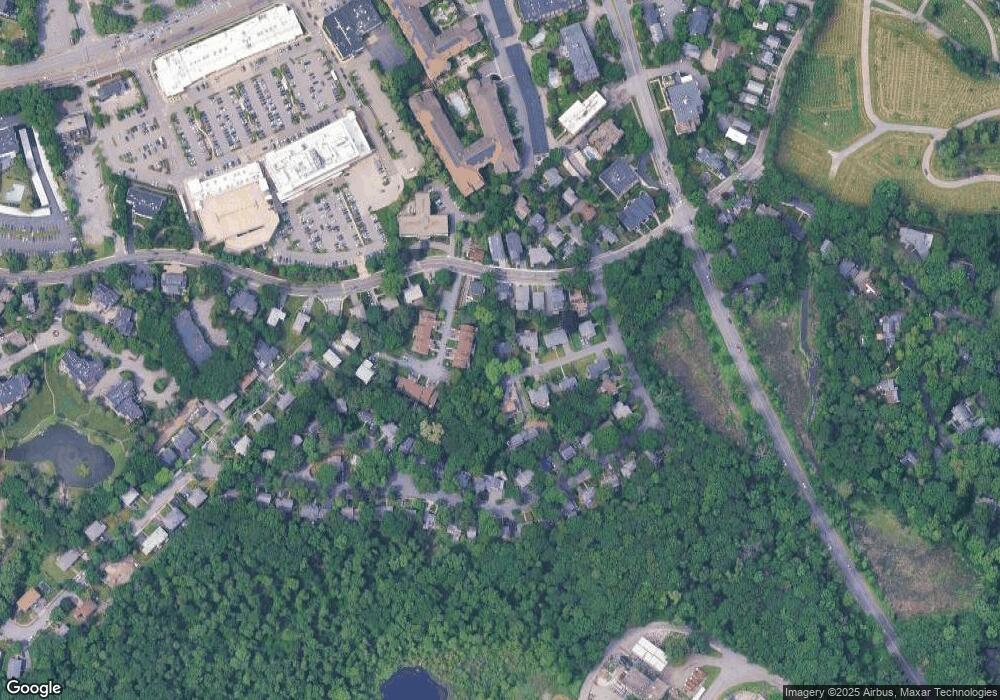
Map
Nearby Homes
- 5 Heathwood Ln
- 799 Heath St Unit 2
- 811 Heath St
- 809-811 Heath St Unit 811
- 771 Heath St Unit 771
- 321 Hammond Pond Pkwy Unit 103
- 321 Hammond Pond Pkwy Unit 301
- 80 Louise Rd Unit 82
- 11 Hammond Pond Pkwy Unit 3
- 33 Hammond Pond Pkwy Unit 2
- 15 Glenland Rd
- 280 Boylston St Unit 203
- 280 Boylston St Unit 905
- 280 Boylston St Unit 710
- 280 Boylston St Unit 908
- 280 Boylston St Unit 415
- 280 Boylston St Unit 511
- 79 Florence St Unit 600S
- 79 Florence St Unit 402S
- 38 Tanglewood Rd
- 19 Lyon Rd
- 806 Heath St
- 11 Lyon Rd
- 798 Heath St Unit 1
- 800 Heath St
- 798 Heath St
- 798 Heath St Unit 798
- 798 Heath St Unit 800
- 16 Heathwood Ln
- 14 Heathwood Ln
- 12 Heathwood Ln
- 8 Heathwood Ln
- 7 Heathwood Ln
- 6 Heathwood Ln
- 3 Heathwood Ln
- 2 Heathwood Ln
- 6 Heathwood Ln Unit 6
- 816 Heath St
- 816 Heath St Unit 2,816
- 816 Heath St Unit 2