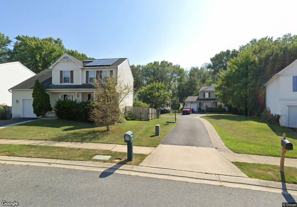
27 Macintosh Ct Middle River, MD 21220
Estimated Value: $366,000 - $430,000
Studio
3
Baths
1,456
Sq Ft
$274/Sq Ft
Est. Value
About This Home
This home is located at 27 Macintosh Ct, Middle River, MD 21220 and is currently estimated at $398,552, approximately $273 per square foot. 27 Macintosh Ct is a home located in Baltimore County with nearby schools including Vincent Farm Elementary, Middle River Middle School, and Kenwood High.
Ownership History
Date
Name
Owned For
Owner Type
Purchase Details
Closed on
Apr 17, 2025
Sold by
Monath Timothy C
Bought by
Tim Monath Living Trust and Monath
Current Estimated Value
Purchase Details
Closed on
Nov 12, 2004
Sold by
Ruth Melvin C
Bought by
Monath Timothy C and Monath Karen A
Purchase Details
Closed on
Nov 20, 2000
Sold by
Bird River Properties Llc
Bought by
Ruth Melvin C and Ruth Diane R
Create a Home Valuation Report for This Property
The Home Valuation Report is an in-depth analysis detailing your home's value as well as a comparison with similar homes in the area
Home Values in the Area
Average Home Value in this Area
Purchase History
| Date | Buyer | Sale Price | Title Company |
|---|---|---|---|
| Tim Monath Living Trust | -- | None Listed On Document | |
| Tim Monath Living Trust | -- | None Listed On Document | |
| Monath Timothy C | $251,000 | -- | |
| Ruth Melvin C | $171,257 | -- |
Source: Public Records
Tax History
| Year | Tax Paid | Tax Assessment Tax Assessment Total Assessment is a certain percentage of the fair market value that is determined by local assessors to be the total taxable value of land and additions on the property. | Land | Improvement |
|---|---|---|---|---|
| 2025 | $4,231 | $325,067 | -- | -- |
| 2024 | $4,231 | $297,133 | -- | -- |
| 2023 | $2,132 | $269,200 | $104,400 | $164,800 |
| 2022 | $3,856 | $260,067 | $0 | $0 |
| 2021 | $3,715 | $250,933 | $0 | $0 |
| 2020 | $3,715 | $241,800 | $104,400 | $137,400 |
| 2019 | $3,377 | $231,867 | $0 | $0 |
| 2018 | $3,407 | $221,933 | $0 | $0 |
| 2017 | $3,180 | $212,000 | $0 | $0 |
| 2016 | $3,146 | $212,000 | $0 | $0 |
| 2015 | $3,146 | $212,000 | $0 | $0 |
| 2014 | $3,146 | $222,900 | $0 | $0 |
Source: Public Records
Map
Nearby Homes
- 9864 Greenbriar Way
- 0 Bird River Rd Unit MDBC2136640
- 10002 Campbell Blvd
- 10114 Blansford Way
- 0 Stokers Ln
- 1116 Muddy Branch Ct
- 1118 Muddy Branch Ct
- 1114 Muddy Branch Ct
- 1108 Muddy Branch Ct
- 1113 Muddy Branch Ct
- 9755 Matzon Rd
- 6 Silver Maple Ct
- 12109 Buttonwood Ln
- 9715 Bird River Rd
- 917 Gladway Rd
- 0 Wampler Rd Unit MDBC2153670
- 0 Wampler Rd Unit MDBC2107084
- 9899 Decatur Rd
- 1202 Otter Point Ct
- 1201 Otter Point Ct
- 29 Macintosh Ct
- 25 Macintosh Ct
- 23 Macintosh Ct
- 31 Macintosh Ct
- 21 Macintosh Ct
- 33 Macintosh Ct
- 24 Macintosh Ct
- 22 Macintosh Ct
- 35 Macintosh Ct
- 26 Macintosh Ct
- 20 Macintosh Ct
- 13 Macintosh Ct
- 18 Macintosh Ct
- 37 Macintosh Ct
- 15 Macintosh Ct
- 23 Granny Smith Ct
- 21 Granny Smith Ct
- 28 Macintosh Ct
- 16 Macintosh Ct
Your Personal Tour Guide
Ask me questions while you tour the home.