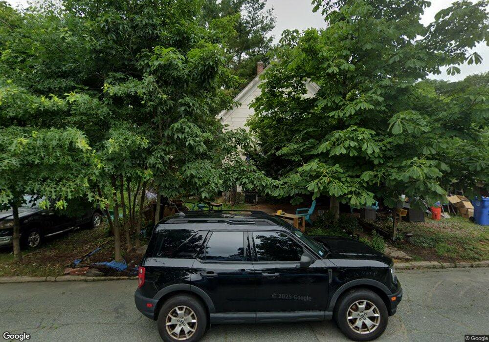
27 Maple Ave Whitman, MA 02382
Estimated Value: $432,603 - $485,000
4
Beds
1
Bath
1,188
Sq Ft
$387/Sq Ft
Est. Value
About This Home
This home is located at 27 Maple Ave, Whitman, MA 02382 and is currently estimated at $459,901, approximately $387 per square foot. 27 Maple Ave is a home located in Plymouth County with nearby schools including St Bridget School.
Ownership History
Date
Name
Owned For
Owner Type
Purchase Details
Closed on
Jan 10, 2025
Sold by
Gardner Ft and Gagnon
Bought by
Gardner Paul O
Current Estimated Value
Purchase Details
Closed on
Apr 2, 2021
Sold by
Gardner Patricia E
Bought by
Gardner Ft and Gagnon
Purchase Details
Closed on
Apr 1, 1981
Bought by
Gardner Paul O and Gardner Patricia E
Create a Home Valuation Report for This Property
The Home Valuation Report is an in-depth analysis detailing your home's value as well as a comparison with similar homes in the area
Home Values in the Area
Average Home Value in this Area
Purchase History
| Date | Buyer | Sale Price | Title Company |
|---|---|---|---|
| Gardner Paul O | -- | None Available | |
| Gardner Paul O | -- | None Available | |
| Gardner Ft | -- | None Available | |
| Gardner Ft | -- | None Available | |
| Gardner Paul O | $20,500 | -- |
Source: Public Records
Mortgage History
| Date | Status | Borrower | Loan Amount |
|---|---|---|---|
| Previous Owner | Gardner Paul O | $154,050 |
Source: Public Records
Tax History
| Year | Tax Paid | Tax Assessment Tax Assessment Total Assessment is a certain percentage of the fair market value that is determined by local assessors to be the total taxable value of land and additions on the property. | Land | Improvement |
|---|---|---|---|---|
| 2025 | $4,808 | $366,500 | $211,700 | $154,800 |
| 2024 | $4,672 | $366,700 | $207,700 | $159,000 |
| 2023 | $4,447 | $327,700 | $180,000 | $147,700 |
| 2022 | $4,378 | $300,700 | $163,700 | $137,000 |
| 2021 | $4,224 | $272,500 | $150,400 | $122,100 |
| 2020 | $4,023 | $253,800 | $136,000 | $117,800 |
| 2019 | $3,805 | $247,400 | $136,000 | $111,400 |
| 2018 | $3,393 | $223,200 | $128,900 | $94,300 |
| 2017 | $3,366 | $223,200 | $128,900 | $94,300 |
| 2016 | $3,258 | $209,000 | $122,700 | $86,300 |
| 2015 | $3,262 | $209,000 | $122,700 | $86,300 |
Source: Public Records
Map
Nearby Homes
- 47 Maple Ave
- 74-76 Court St
- 74 Court St Unit 76
- 90 Court St
- 68 Court St
- 68 Court St Unit 2
- 68 Court St Unit 3
- 68 Court St Unit 1
- 167 Park Ave
- 87 Court St
- 85 Court St
- 171 Park Ave
- 171 Park Ave Unit 1
- 79 Court St
- 71 Court St
- 60 Court St
- 65 Court St Unit 2
- 65 Court St Unit 1
- 63 Court St Unit 2
- 63 Court St Unit 1
Your Personal Tour Guide
Ask me questions while you tour the home.