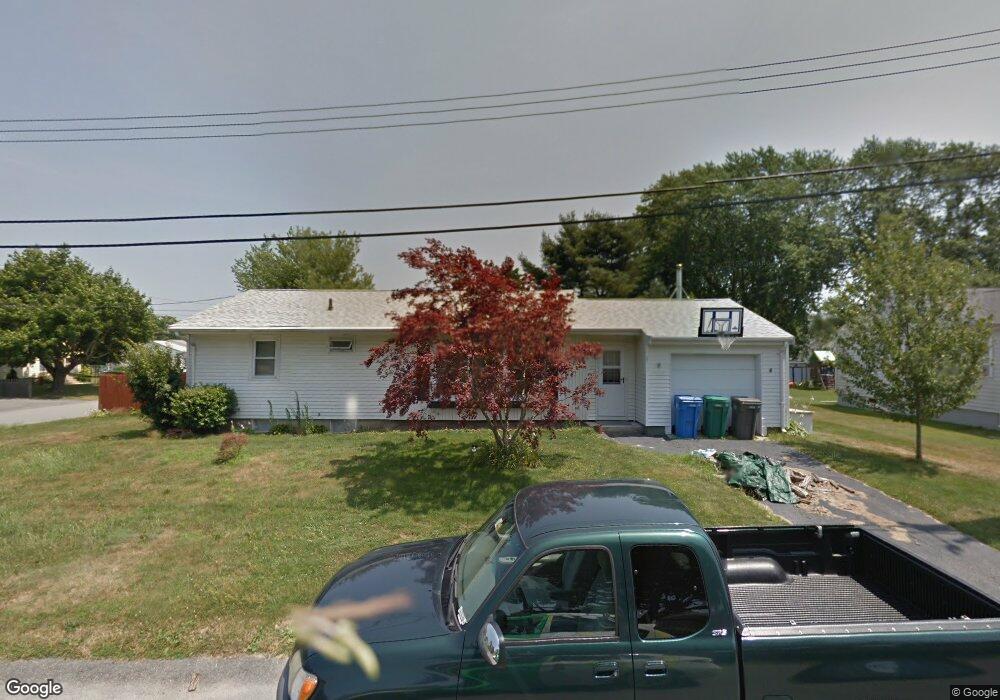
27 Marshall Ln Middletown, RI 02842
Estimated Value: $499,000 - $613,000
3
Beds
1
Bath
1,110
Sq Ft
$485/Sq Ft
Est. Value
About This Home
This home is located at 27 Marshall Ln, Middletown, RI 02842 and is currently estimated at $538,788, approximately $485 per square foot. 27 Marshall Ln is a home located in Newport County with nearby schools including Middletown High School and All Saints STEAM Academy.
Ownership History
Date
Name
Owned For
Owner Type
Purchase Details
Closed on
May 13, 2002
Sold by
Chavis William R and Chavis Mildred
Bought by
Mathis Aaron M and Mathis Sheila
Current Estimated Value
Home Financials for this Owner
Home Financials are based on the most recent Mortgage that was taken out on this home.
Original Mortgage
$128,800
Interest Rate
7.18%
Mortgage Type
Purchase Money Mortgage
Purchase Details
Closed on
Aug 20, 1997
Sold by
Daniel Jr Est Gleason and Gleason David M
Bought by
Chavis Sjr William R and Chavis Mildred
Create a Home Valuation Report for This Property
The Home Valuation Report is an in-depth analysis detailing your home's value as well as a comparison with similar homes in the area
Home Values in the Area
Average Home Value in this Area
Purchase History
| Date | Buyer | Sale Price | Title Company |
|---|---|---|---|
| Mathis Aaron M | $161,000 | -- | |
| Chavis Sjr William R | $117,000 | -- |
Source: Public Records
Mortgage History
| Date | Status | Borrower | Loan Amount |
|---|---|---|---|
| Open | Chavis Sjr William R | $170,000 | |
| Closed | Chavis Sjr William R | $151,000 | |
| Closed | Chavis Sjr William R | $128,800 | |
| Previous Owner | Chavis Sjr William R | $12,119 |
Source: Public Records
Tax History
| Year | Tax Paid | Tax Assessment Tax Assessment Total Assessment is a certain percentage of the fair market value that is determined by local assessors to be the total taxable value of land and additions on the property. | Land | Improvement |
|---|---|---|---|---|
| 2025 | $5,195 | $440,600 | $308,000 | $132,600 |
| 2024 | $4,961 | $440,600 | $308,000 | $132,600 |
| 2023 | $3,885 | $308,600 | $198,700 | $109,900 |
| 2022 | $3,709 | $308,600 | $198,700 | $109,900 |
| 2021 | $3,709 | $308,600 | $198,700 | $109,900 |
| 2020 | $3,534 | $256,800 | $146,900 | $109,900 |
| 2018 | $3,539 | $257,400 | $147,500 | $109,900 |
| 2016 | $3,432 | $222,600 | $123,600 | $99,000 |
| 2015 | $3,348 | $222,600 | $123,600 | $99,000 |
| 2014 | $3,445 | $214,400 | $112,400 | $102,000 |
| 2013 | $3,368 | $214,400 | $112,400 | $102,000 |
Source: Public Records
Map
Nearby Homes
- 4 Phillips Ave
- 11 Roy Ave
- 18 J h Dwyer Dr
- 35 Squantum Dr
- 11 Barton Ln
- 0 Revolution Way
- 175 Revolution Way
- 171 Revolution Way
- 342 Mail Coach Rd
- 481 Oliphant Ln
- 502 Forest Rd
- 836 Forest Park
- 521 Forest Park
- 529 Forest Park
- 533 Forest Park
- 53 Lawton Brook Ln
- 222 Rolling Hill Rd
- 219 Rolling Hill Rd Unit 219
- 41 Lawton Brook Ln
- 37 Lawton Brook Ln