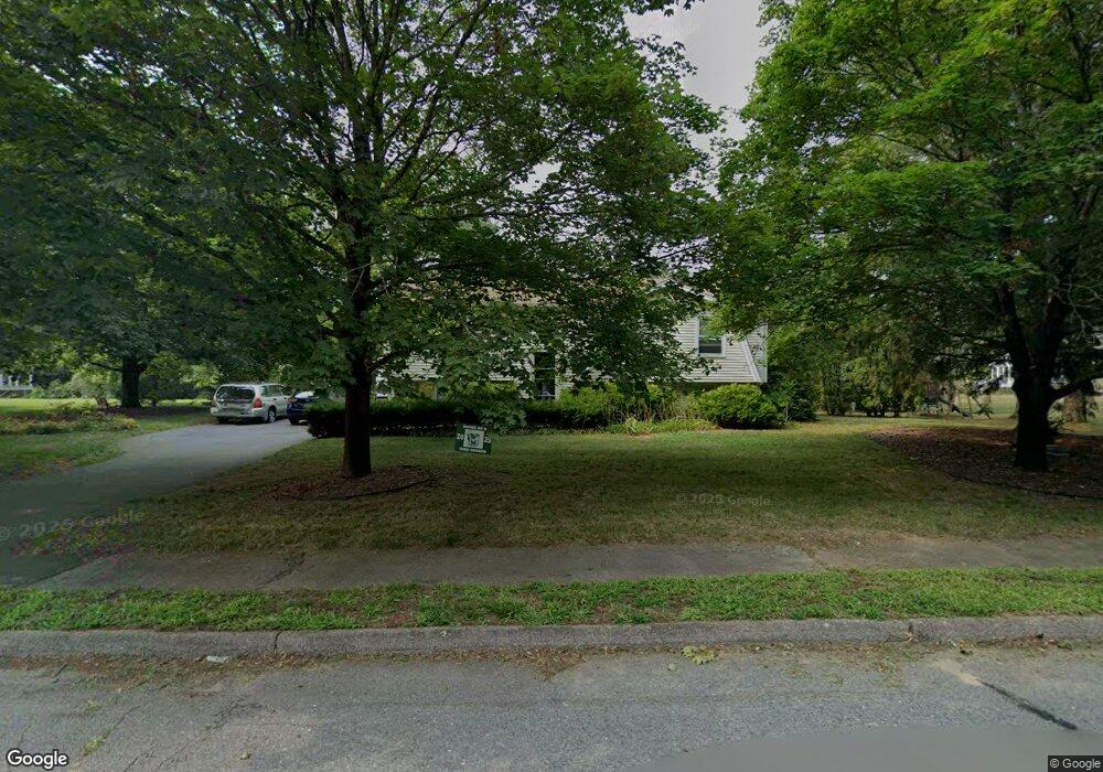
27 Maverick Dr Mansfield, MA 02048
Estimated Value: $564,000 - $719,000
3
Beds
1
Bath
1,336
Sq Ft
$481/Sq Ft
Est. Value
About This Home
This home is located at 27 Maverick Dr, Mansfield, MA 02048 and is currently estimated at $642,772, approximately $481 per square foot. 27 Maverick Dr is a home located in Bristol County with nearby schools including Everett W. Robinson Elementary School, Jordan/Jackson Elementary School, and Harold L. Qualters Middle School.
Create a Home Valuation Report for This Property
The Home Valuation Report is an in-depth analysis detailing your home's value as well as a comparison with similar homes in the area
Home Values in the Area
Average Home Value in this Area
Tax History
| Year | Tax Paid | Tax Assessment Tax Assessment Total Assessment is a certain percentage of the fair market value that is determined by local assessors to be the total taxable value of land and additions on the property. | Land | Improvement |
|---|---|---|---|---|
| 2025 | $7,370 | $559,600 | $266,200 | $293,400 |
| 2024 | $6,881 | $509,700 | $254,100 | $255,600 |
| 2023 | $6,720 | $476,900 | $254,100 | $222,800 |
| 2022 | $6,503 | $428,700 | $235,200 | $193,500 |
| 2021 | $6,376 | $415,100 | $224,100 | $191,000 |
| 2020 | $6,023 | $392,100 | $196,100 | $196,000 |
| 2019 | $5,823 | $382,600 | $186,600 | $196,000 |
| 2018 | $5,588 | $358,900 | $178,000 | $180,900 |
| 2017 | $5,365 | $357,200 | $172,900 | $184,300 |
| 2016 | $5,136 | $333,300 | $164,600 | $168,700 |
| 2015 | $4,799 | $309,600 | $164,600 | $145,000 |
Source: Public Records
Map
Nearby Homes
- 24 Maverick Dr
- 25 Shepherd St
- 128 Tremont St
- 17 Childs Ln
- 84 Messenger St
- 9 Coach Rd
- 150 Gilbert St
- 25 Munroe Dr
- 40 Treasure Island Rd
- 33 Colonial Way
- 16 Treasure Island Rd
- 14 Claire Ave
- 401 South St
- 1769 West St
- 46 Mirimichi St
- 28 Messenger St
- 38 Mirimichi St
- 57 Vine St
- 115 Westfield Dr
- 346 South St
Your Personal Tour Guide
Ask me questions while you tour the home.