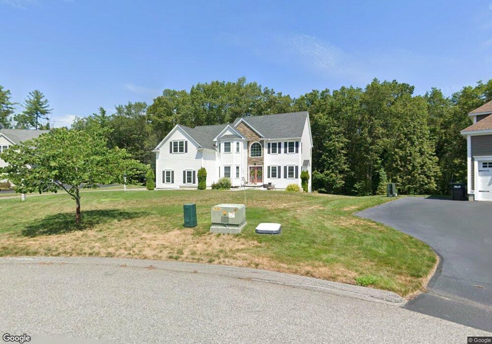
27 Mcintosh Ln Littleton, MA 01460
Estimated Value: $1,149,832 - $1,509,000
4
Beds
3
Baths
3,340
Sq Ft
$403/Sq Ft
Est. Value
About This Home
This home is located at 27 Mcintosh Ln, Littleton, MA 01460 and is currently estimated at $1,344,708, approximately $402 per square foot. 27 Mcintosh Ln is a home with nearby schools including Col John Robinson, John A. Crisafulli Elementary School, and Blanchard Middle School.
Ownership History
Date
Name
Owned For
Owner Type
Purchase Details
Closed on
Sep 2, 2016
Sold by
Deca Corp
Bought by
Ming Raymond J and Hsiao Wenyi
Current Estimated Value
Home Financials for this Owner
Home Financials are based on the most recent Mortgage that was taken out on this home.
Original Mortgage
$600,000
Outstanding Balance
$472,523
Interest Rate
3%
Mortgage Type
Adjustable Rate Mortgage/ARM
Estimated Equity
$872,185
Create a Home Valuation Report for This Property
The Home Valuation Report is an in-depth analysis detailing your home's value as well as a comparison with similar homes in the area
Home Values in the Area
Average Home Value in this Area
Purchase History
| Date | Buyer | Sale Price | Title Company |
|---|---|---|---|
| Ming Raymond J | $836,400 | -- |
Source: Public Records
Mortgage History
| Date | Status | Borrower | Loan Amount |
|---|---|---|---|
| Open | Ming Raymond J | $600,000 |
Source: Public Records
Tax History Compared to Growth
Tax History
| Year | Tax Paid | Tax Assessment Tax Assessment Total Assessment is a certain percentage of the fair market value that is determined by local assessors to be the total taxable value of land and additions on the property. | Land | Improvement |
|---|---|---|---|---|
| 2025 | $157 | $1,059,200 | $230,700 | $828,500 |
| 2024 | $15,567 | $1,049,000 | $230,700 | $818,300 |
| 2023 | $15,416 | $948,700 | $212,500 | $736,200 |
| 2022 | $14,285 | $806,600 | $212,500 | $594,100 |
| 2021 | $14,002 | $791,100 | $206,400 | $584,700 |
| 2020 | $14,202 | $799,200 | $206,300 | $592,900 |
| 2019 | $13,986 | $766,800 | $167,400 | $599,400 |
| 2018 | $14,077 | $776,000 | $177,100 | $598,900 |
| 2017 | $2,684 | $147,900 | $147,900 | $0 |
| 2016 | $1,047 | $59,200 | $59,200 | $0 |
| 2015 | $930 | $51,400 | $51,400 | $0 |
Source: Public Records
Map
Nearby Homes
- 25 Grist Mill Rd
- 140 Butternut Hollow Unit 140
- 517 Tumbling Hawk
- 601 Old Stone Brook
- 84 Powers Rd
- 237 Brown Bear Crossing Unit 237
- 484 Great Road -3
- 484 Great Road -4
- 484 Great Road -6
- 3 Mill Park Place
- 3 Mill Park Place Unit 3
- 9 Breezy Point Rd
- 5 Mill Park Place
- 5 Mill Park Place Unit 5
- 484 Great Rd
- 484 Great Rd
- 428 Great Rd Unit 10
- 420 Great Rd Unit B3
- 159 Skyline Dr Unit 159
- 16 Fletcher Ln
- 25 Mcintosh Ln
- 24 Mcintosh Ln
- 23 Mcintosh Ln
- 22 Mcintosh Ln
- 18 Mcintosh Ln
- 21 Mcintosh Ln
- 70 Grist Mill Rd
- 19 Mcintosh Ln
- 16 Mcintosh Ln
- 68 Grist Mill Rd
- 72 Grist Mill Rd
- 17 Mcintosh Ln
- 12 Mcintosh Ln
- 15 Mcintosh Ln
- 66 Grist Mill Rd
- 74 Grist Mill Rd
- 57 Grist Mill Rd
- 11 Mcintosh Ln
- 8 Mcintosh Ln
- 76 Grist Mill Rd