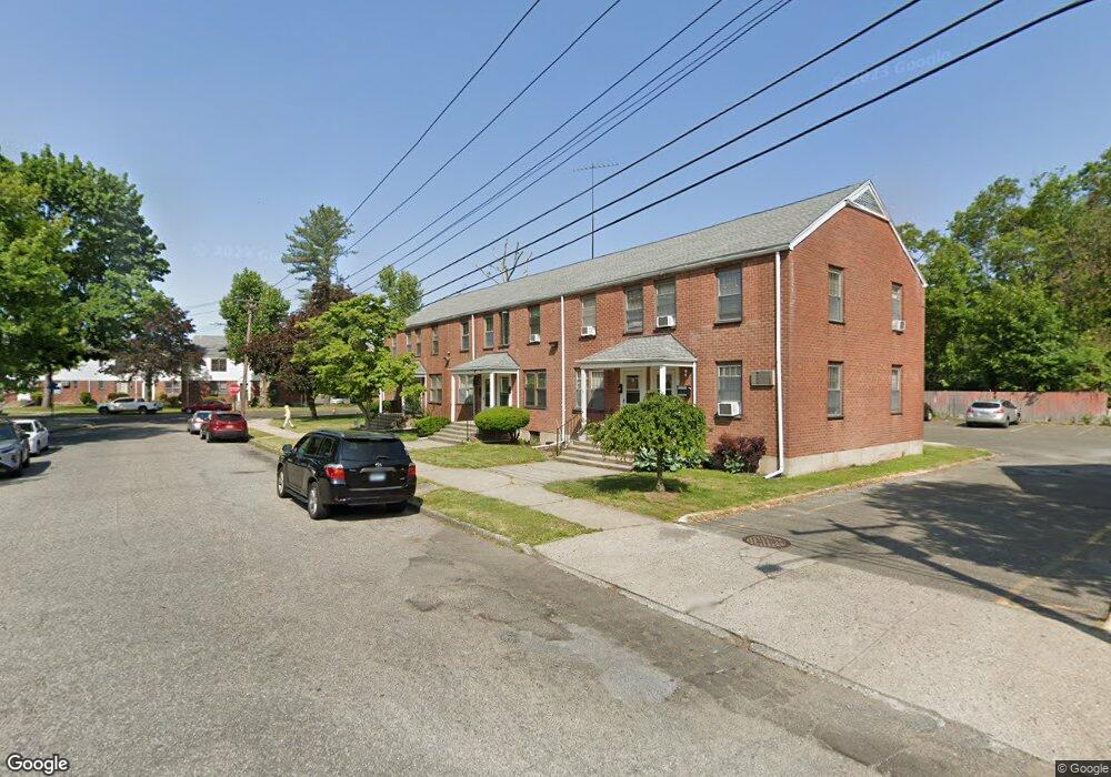
27 Mencel Cir Bridgeport, CT 06610
North Bridgeport NeighborhoodEstimated Value: $202,000 - $320,000
2
Beds
1
Bath
960
Sq Ft
$251/Sq Ft
Est. Value
About This Home
This home is located at 27 Mencel Cir, Bridgeport, CT 06610 and is currently estimated at $240,921, approximately $250 per square foot. 27 Mencel Cir is a home located in Fairfield County with nearby schools including Read School, Harding High School, and Achievement First Bridgeport Academy Elementary School.
Ownership History
Date
Name
Owned For
Owner Type
Purchase Details
Closed on
Aug 27, 1997
Sold by
Bridgeport Fire Dept
Bought by
Scott Ida B
Current Estimated Value
Home Financials for this Owner
Home Financials are based on the most recent Mortgage that was taken out on this home.
Original Mortgage
$24,000
Interest Rate
7.41%
Mortgage Type
Unknown
Purchase Details
Closed on
Aug 16, 1988
Sold by
Sneed Randall
Bought by
Brown Sherley
Create a Home Valuation Report for This Property
The Home Valuation Report is an in-depth analysis detailing your home's value as well as a comparison with similar homes in the area
Home Values in the Area
Average Home Value in this Area
Purchase History
| Date | Buyer | Sale Price | Title Company |
|---|---|---|---|
| Scott Ida B | $30,000 | -- | |
| Scott Ida B | $30,000 | -- | |
| Brown Sherley | $85,000 | -- |
Source: Public Records
Mortgage History
| Date | Status | Borrower | Loan Amount |
|---|---|---|---|
| Open | Brown Sherley | $90,000 | |
| Closed | Brown Sherley | $40,000 | |
| Closed | Brown Sherley | $24,000 |
Source: Public Records
Tax History Compared to Growth
Tax History
| Year | Tax Paid | Tax Assessment Tax Assessment Total Assessment is a certain percentage of the fair market value that is determined by local assessors to be the total taxable value of land and additions on the property. | Land | Improvement |
|---|---|---|---|---|
| 2025 | $2,208 | $50,820 | $0 | $50,820 |
| 2024 | $2,208 | $50,820 | $0 | $50,820 |
| 2023 | $2,208 | $50,820 | $0 | $50,820 |
| 2022 | $2,208 | $50,820 | $0 | $50,820 |
| 2021 | $2,208 | $50,820 | $0 | $50,820 |
| 2020 | $1,906 | $35,300 | $0 | $35,300 |
| 2019 | $1,906 | $35,300 | $0 | $35,300 |
| 2018 | $1,919 | $35,300 | $0 | $35,300 |
| 2017 | $1,919 | $35,300 | $0 | $35,300 |
| 2016 | $1,919 | $35,300 | $0 | $35,300 |
| 2015 | $3,317 | $78,600 | $0 | $78,600 |
| 2014 | $3,317 | $78,600 | $0 | $78,600 |
Source: Public Records
Map
Nearby Homes
- 11 Nob Hill Cir
- 132 Virginia Ave Unit 132
- 120 Huntington Turnpike Unit 606
- 120 Huntington Turnpike Unit 801
- 33 Louisiana Ave Unit 35
- 197 Dupont Place Unit 199
- 170 Livingston Place Unit 172
- 149 Edna Ave Unit 153
- 83 Berkeley Place Unit 85
- 230 Hickory St
- 51 Alpine St
- 53 Beverly Dr
- 2031 E Main St
- 374 Mapledale Place
- 154 Rose St
- 217 Hillcrest Rd
- 212 Dayton Rd
- 142 Palm St
- 250 Dayton Rd
- 644 Huntington Rd
- 79 Mencel Cir Unit C
- 79 Mencel Cir Unit D
- 79 Mencel Cir Unit B
- 77 Mencel Cir
- 75 Mencel Cir
- 69 Mencel Cir
- 67 Mencel Cir Unit C
- 67 Mencel Cir Unit A
- 67 Mencel Cir Unit B
- 27 Mencel Cir Unit 27
- 63 Mencel Cir Unit C
- 63 Mencel Cir Unit A
- 63 Mencel Cir Unit D
- 63 Mencel Cir Unit B
- 61 Mencel Cir
- 19 Mencel Cir
- 59 Mencel Cir
- 59 Mencel Cir Unit A
- 59 Mencel Cir Unit 59