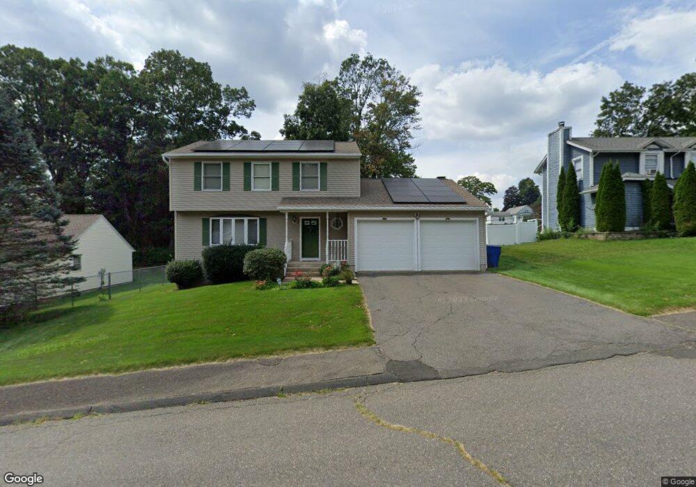
27 Mountain Laurel Dr Waterbury, CT 06704
Bucks Hill NeighborhoodEstimated Value: $321,000 - $464,000
3
Beds
3
Baths
1,664
Sq Ft
$229/Sq Ft
Est. Value
About This Home
This home is located at 27 Mountain Laurel Dr, Waterbury, CT 06704 and is currently estimated at $381,753, approximately $229 per square foot. 27 Mountain Laurel Dr is a home located in New Haven County with nearby schools including Bucks Hill Elementary School, North End Middle School, and Wilby High School.
Ownership History
Date
Name
Owned For
Owner Type
Purchase Details
Closed on
Sep 13, 1993
Sold by
Trc Inc
Bought by
Pelletier Paul and Petta Benedettina
Current Estimated Value
Create a Home Valuation Report for This Property
The Home Valuation Report is an in-depth analysis detailing your home's value as well as a comparison with similar homes in the area
Home Values in the Area
Average Home Value in this Area
Purchase History
| Date | Buyer | Sale Price | Title Company |
|---|---|---|---|
| Pelletier Paul | $140,000 | -- |
Source: Public Records
Mortgage History
| Date | Status | Borrower | Loan Amount |
|---|---|---|---|
| Open | Pelletier Paul | $84,000 | |
| Closed | Pelletier Paul | $70,000 | |
| Closed | Pelletier Paul | $70,000 | |
| Closed | Pelletier Paul | $95,000 |
Source: Public Records
Tax History Compared to Growth
Tax History
| Year | Tax Paid | Tax Assessment Tax Assessment Total Assessment is a certain percentage of the fair market value that is determined by local assessors to be the total taxable value of land and additions on the property. | Land | Improvement |
|---|---|---|---|---|
| 2025 | $8,851 | $196,770 | $19,600 | $177,170 |
| 2024 | $9,728 | $196,770 | $19,600 | $177,170 |
| 2023 | $10,663 | $196,770 | $19,600 | $177,170 |
| 2022 | $7,368 | $122,370 | $19,600 | $102,770 |
| 2021 | $7,368 | $122,370 | $19,600 | $102,770 |
| 2020 | $7,368 | $122,370 | $19,600 | $102,770 |
| 2019 | $7,368 | $122,370 | $19,600 | $102,770 |
| 2018 | $7,368 | $122,370 | $19,600 | $102,770 |
| 2017 | $7,258 | $120,550 | $19,600 | $100,950 |
| 2016 | $7,258 | $120,550 | $19,600 | $100,950 |
| 2015 | $7,018 | $120,550 | $19,600 | $100,950 |
| 2014 | $7,018 | $120,550 | $19,600 | $100,950 |
Source: Public Records
Map
Nearby Homes
- 0 Spindle Hill Rd Unit 24062265
- 474 Chestnut Hill Ave
- 440 Chestnut Hill Ave
- 36 Randall Place
- 245 Montoe Rd
- 0 Montoe Rd
- 0 Grassy Hill Rd Unit 24070167
- 16 Oakengate Rd
- 701 Bucks Hill Rd
- 108 Crestwood Ave
- 8 Pembroke Hill Rd
- 22 Pembroke Hill Rd
- 79 Fieldstone Rd
- 49 Forestview Dr
- 186 Chestnut Hill Ave
- 123 Chipper Rd
- 9 Pembroke Hill Rd
- 119 Lincolndale Dr
- 45 Fieldstream Dr
- 8 Hayfield Rd
- 21 Mountain Laurel Dr
- 22 Mountain Laurel Dr
- 15 Mountain Laurel Dr
- 19 Running Brook Dr
- 16 Mountain Laurel Dr
- 11 Running Brook Dr
- 11 Running Brook Rd
- 19 Running Brook Rd
- 30 Mountain Laurel Dr
- 12 Mountain Laurel Dr
- 5 Running Brook Rd
- 126 Grassy Hill Rd
- 4 Mountain Laurel Dr
- 22 Running Brook Rd
- 12 Running Brook Rd
- 35 Mountain Laurel Dr
- 41 Running Brook Rd
- LOT 28 Running Brook Rd
- 36 Mountain Laurel Dr