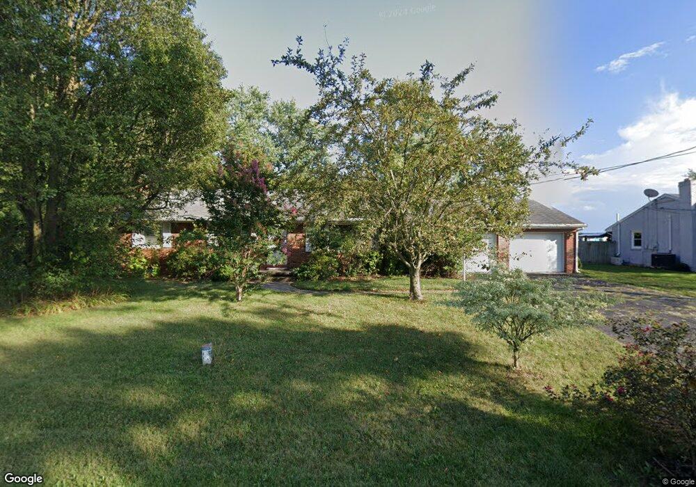
27 Mummert Dr Unit 4 Littlestown, PA 17340
Estimated Value: $276,497 - $307,000
3
Beds
1
Bath
1,392
Sq Ft
$208/Sq Ft
Est. Value
About This Home
This home is located at 27 Mummert Dr Unit 4, Littlestown, PA 17340 and is currently estimated at $288,874, approximately $207 per square foot. 27 Mummert Dr Unit 4 is a home located in Adams County with nearby schools including Rolling Acres El School, Maple Avenue Middle School, and Littlestown Senior High School.
Ownership History
Date
Name
Owned For
Owner Type
Purchase Details
Closed on
Apr 9, 2009
Sold by
Wantz Wayne K and Honeycutt Buna K
Bought by
Wantz Wayne K and Wantz Buna H
Current Estimated Value
Home Financials for this Owner
Home Financials are based on the most recent Mortgage that was taken out on this home.
Original Mortgage
$160,000
Interest Rate
5.02%
Mortgage Type
New Conventional
Create a Home Valuation Report for This Property
The Home Valuation Report is an in-depth analysis detailing your home's value as well as a comparison with similar homes in the area
Home Values in the Area
Average Home Value in this Area
Purchase History
| Date | Buyer | Sale Price | Title Company |
|---|---|---|---|
| Wantz Wayne K | -- | -- |
Source: Public Records
Mortgage History
| Date | Status | Borrower | Loan Amount |
|---|---|---|---|
| Closed | Wantz Wayne K | $160,000 |
Source: Public Records
Tax History Compared to Growth
Tax History
| Year | Tax Paid | Tax Assessment Tax Assessment Total Assessment is a certain percentage of the fair market value that is determined by local assessors to be the total taxable value of land and additions on the property. | Land | Improvement |
|---|---|---|---|---|
| 2025 | $3,157 | $166,800 | $36,600 | $130,200 |
| 2024 | $3,018 | $166,800 | $36,600 | $130,200 |
| 2023 | $2,958 | $166,800 | $36,600 | $130,200 |
| 2022 | $2,957 | $166,800 | $36,600 | $130,200 |
| 2021 | $2,852 | $166,800 | $36,600 | $130,200 |
| 2020 | $2,811 | $166,800 | $36,600 | $130,200 |
| 2019 | $2,752 | $166,800 | $36,600 | $130,200 |
| 2018 | $2,692 | $166,800 | $36,600 | $130,200 |
| 2017 | $2,599 | $166,800 | $36,600 | $130,200 |
| 2016 | -- | $166,800 | $36,600 | $130,200 |
| 2015 | -- | $166,800 | $36,600 | $130,200 |
| 2014 | -- | $166,800 | $36,600 | $130,200 |
Source: Public Records
Map
Nearby Homes
- 43 Ashfield Dr Unit 14
- 567 Lumber St
- 559 Lumber St
- 5 Manor Cir Unit 103
- 535 Lumber St
- 449 Glenwyn Dr
- LOT 9 Mehring Rd
- 41 Smith Cir
- 349 Basehoar School Rd Unit 5
- 211 E King St
- 61 E King St
- 162 Newark St
- 630 Mehring Rd Unit 4
- 115 Charles St
- 117 Charles St
- 1175 Bollinger Rd
- 140 Apple Grove Ln Unit 425
- 28 Gettysburg Ct Unit 60
- 129 W King St
- 440 N Queen St
- 35 Mummert Dr
- 19 Mummert Dr Unit 3
- 30 Mummert Dr Unit 17
- 11 Mummert Dr
- 22 Mummert Dr
- 43 Mummert Dr Unit 6
- 40 Mummert Dr
- 14 Mummert Dr Unit 15
- 50 Mummert Dr
- 51 Mummert Dr Unit 7
- 3 Mummert Dr
- 817 Hanover Pike
- 6 Mummert Dr
- 833 Hanover Pike Unit 3
- 58 Mummert Dr Unit 20
- 59 Mummert Dr Unit 8
- 799 Hanover Pike
- 841 Hanover Pike
- 66 Mummert Dr Unit 21
- 851 Hanover Pike