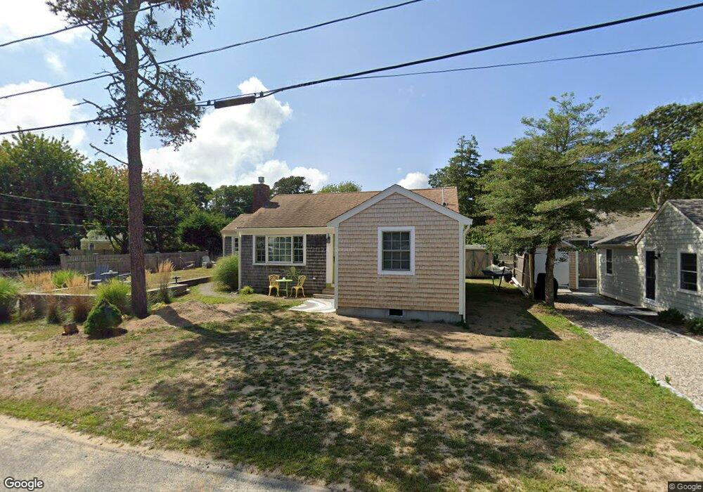
27 Myrtle Rd Dennis Port, MA 02639
Dennis Port NeighborhoodEstimated Value: $483,000 - $614,555
2
Beds
1
Bath
800
Sq Ft
$695/Sq Ft
Est. Value
About This Home
This home is located at 27 Myrtle Rd, Dennis Port, MA 02639 and is currently estimated at $556,389, approximately $695 per square foot. 27 Myrtle Rd is a home located in Barnstable County with nearby schools including Dennis-Yarmouth Regional High School and St. Pius X. School.
Ownership History
Date
Name
Owned For
Owner Type
Purchase Details
Closed on
Mar 31, 2000
Sold by
Ackerman Maryann H
Bought by
Miller Edward T and Miller Paulette
Current Estimated Value
Home Financials for this Owner
Home Financials are based on the most recent Mortgage that was taken out on this home.
Original Mortgage
$84,000
Interest Rate
8.4%
Mortgage Type
Purchase Money Mortgage
Create a Home Valuation Report for This Property
The Home Valuation Report is an in-depth analysis detailing your home's value as well as a comparison with similar homes in the area
Home Values in the Area
Average Home Value in this Area
Purchase History
| Date | Buyer | Sale Price | Title Company |
|---|---|---|---|
| Miller Edward T | $105,000 | -- |
Source: Public Records
Mortgage History
| Date | Status | Borrower | Loan Amount |
|---|---|---|---|
| Open | Miller Edward T | $122,250 | |
| Closed | Miller Edward T | $119,800 | |
| Closed | Miller Edward T | $84,000 |
Source: Public Records
Tax History Compared to Growth
Tax History
| Year | Tax Paid | Tax Assessment Tax Assessment Total Assessment is a certain percentage of the fair market value that is determined by local assessors to be the total taxable value of land and additions on the property. | Land | Improvement |
|---|---|---|---|---|
| 2025 | $2,356 | $544,200 | $279,000 | $265,200 |
| 2024 | $2,202 | $501,700 | $268,300 | $233,400 |
| 2023 | $2,130 | $456,100 | $243,900 | $212,200 |
| 2022 | $1,984 | $354,300 | $192,200 | $162,100 |
| 2021 | $1,936 | $321,100 | $188,400 | $132,700 |
| 2020 | $23,150 | $308,800 | $188,400 | $120,400 |
| 2019 | $1,905 | $308,700 | $200,600 | $108,100 |
| 2018 | $11,353 | $290,300 | $191,000 | $99,300 |
| 2017 | $10,367 | $272,000 | $175,900 | $96,100 |
| 2016 | $1,617 | $247,600 | $165,800 | $81,800 |
| 2015 | $1,585 | $247,600 | $165,800 | $81,800 |
| 2014 | $1,509 | $237,600 | $155,800 | $81,800 |
Source: Public Records
Map
Nearby Homes
- 22 Ferncliff Rd
- 102 Sea St
- 37-A Beach Hills Rd
- 37 Beach Hills Rd
- 262 Old Wharf Rd Unit 67
- 262 Old Wharf Rd Unit 5
- 262 Old Wharf Rd Unit 5
- 262 Old Wharf Rd Unit 20
- 262 Old Wharf Rd Unit 87
- 402 Old Wharf Rd
- 402 Old Wharf Rd
- 405 Old Wharf Rd Unit B204
- 405 Old Wharf Rd Unit B204
- 31 Easy St
- 241 Old Wharf Rd Unit 82
- 241 Old Wharf Rd Unit 127
- 241 Old Wharf Rd Unit 90
- 11 Ocean Park W
- 22 Wixon Rd
- 217 Old Wharf Rd Unit 64