27 Natures Way Stockton Springs, ME 04981
Estimated Value: $310,000 - $488,644
2
Beds
2
Baths
1,800
Sq Ft
$224/Sq Ft
Est. Value
About This Home
This home is located at 27 Natures Way, Stockton Springs, ME 04981 and is currently estimated at $402,661, approximately $223 per square foot. 27 Natures Way is a home.
Ownership History
Date
Name
Owned For
Owner Type
Purchase Details
Closed on
Jul 21, 2021
Sold by
Wciorka-Rowe Maria W
Bought by
Horwitz-Lee Matthew
Current Estimated Value
Home Financials for this Owner
Home Financials are based on the most recent Mortgage that was taken out on this home.
Original Mortgage
$300,000
Outstanding Balance
$272,453
Interest Rate
2.96%
Mortgage Type
Purchase Money Mortgage
Estimated Equity
$130,208
Purchase Details
Closed on
Jun 1, 2005
Sold by
French Malcolm A and French Barbara A
Bought by
Wciorka-Rowe Maria W
Create a Home Valuation Report for This Property
The Home Valuation Report is an in-depth analysis detailing your home's value as well as a comparison with similar homes in the area
Home Values in the Area
Average Home Value in this Area
Purchase History
| Date | Buyer | Sale Price | Title Company |
|---|---|---|---|
| Horwitz-Lee Matthew | -- | None Available | |
| Wciorka-Rowe Maria W | -- | -- |
Source: Public Records
Mortgage History
| Date | Status | Borrower | Loan Amount |
|---|---|---|---|
| Open | Horwitz-Lee Matthew | $300,000 |
Source: Public Records
Tax History Compared to Growth
Tax History
| Year | Tax Paid | Tax Assessment Tax Assessment Total Assessment is a certain percentage of the fair market value that is determined by local assessors to be the total taxable value of land and additions on the property. | Land | Improvement |
|---|---|---|---|---|
| 2024 | $3,993 | $240,550 | $60,880 | $179,670 |
| 2023 | $3,418 | $153,960 | $60,880 | $93,080 |
| 2022 | $3,162 | $155,020 | $60,880 | $94,140 |
| 2021 | $3,177 | $156,520 | $62,380 | $94,140 |
| 2020 | $3,246 | $157,580 | $62,380 | $95,200 |
| 2019 | $3,199 | $157,580 | $62,380 | $95,200 |
| 2018 | $3,205 | $158,640 | $62,380 | $96,260 |
| 2017 | $3,252 | $158,640 | $62,380 | $96,260 |
| 2016 | $3,130 | $159,700 | $62,380 | $97,320 |
| 2015 | $3,026 | $159,700 | $62,380 | $97,320 |
| 2014 | $2,555 | $132,740 | $52,650 | $80,090 |
| 2013 | $2,456 | $136,440 | $52,650 | $83,790 |
Source: Public Records
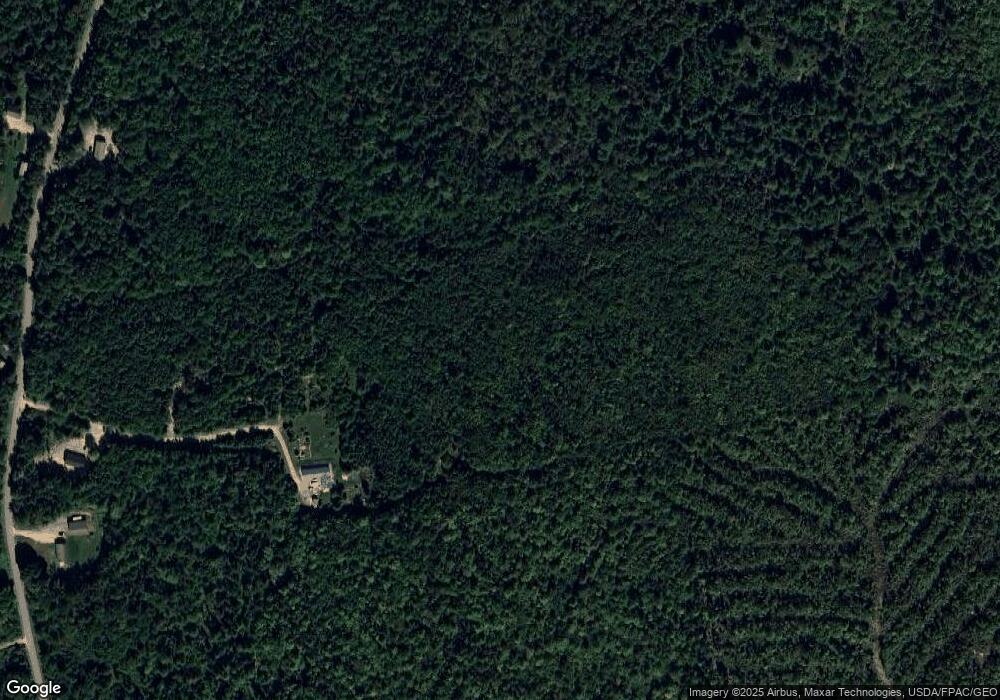
Map
Nearby Homes
- 306 Pout Town Rd
- 55 Upper Sylvan St
- 40 Church St
- 57 Ocean View Dr
- 38 Church St
- 10 Church St
- 270 Main St
- 81 Blueberry Ln
- 25 School St
- 20 Turnpike Rd
- Lot 27-7 Sherer Rd
- 271 U S Route 1
- 3 Sunny Ln
- 96 Pirates Cove Rd
- Lot 157 Denslow Rd
- Lot 19-1 Green Valley Rd
- 7 Winchester Way
- 49 Fort Point Cove Rd
- 24 Turnpike Rd
- 95 Osprey Reach Rd
- 205 Pout Town Rd
- 0 Pout Town Rd Unit 658049
- 0 Pout Town Rd Unit 633213
- 0 Pout Town Rd Unit 314533
- 0 Pout Town Rd Unit 775589
- 0 Pout Town Rd Unit 760745
- 0 Pout Town Rd Unit 199523
- 0 Pout Town Rd Unit 191736
- 0 Pout Town Rd Unit 263705
- 0 Pout Town Rd Unit 330931
- 0 Pout Town Rd Unit 1485076
- 0 Pout Town Rd Unit 1477413
- 0 Pout Town Rd Unit 1317545
- 185 Pout Town Rd
- 206 Pout Town Rd
- 229 Pout Town Rd
- 158 Pout Town Rd
- 186 Pout Town Rd
- 148 Pout Town Rd
- 230 Pout Town Rd