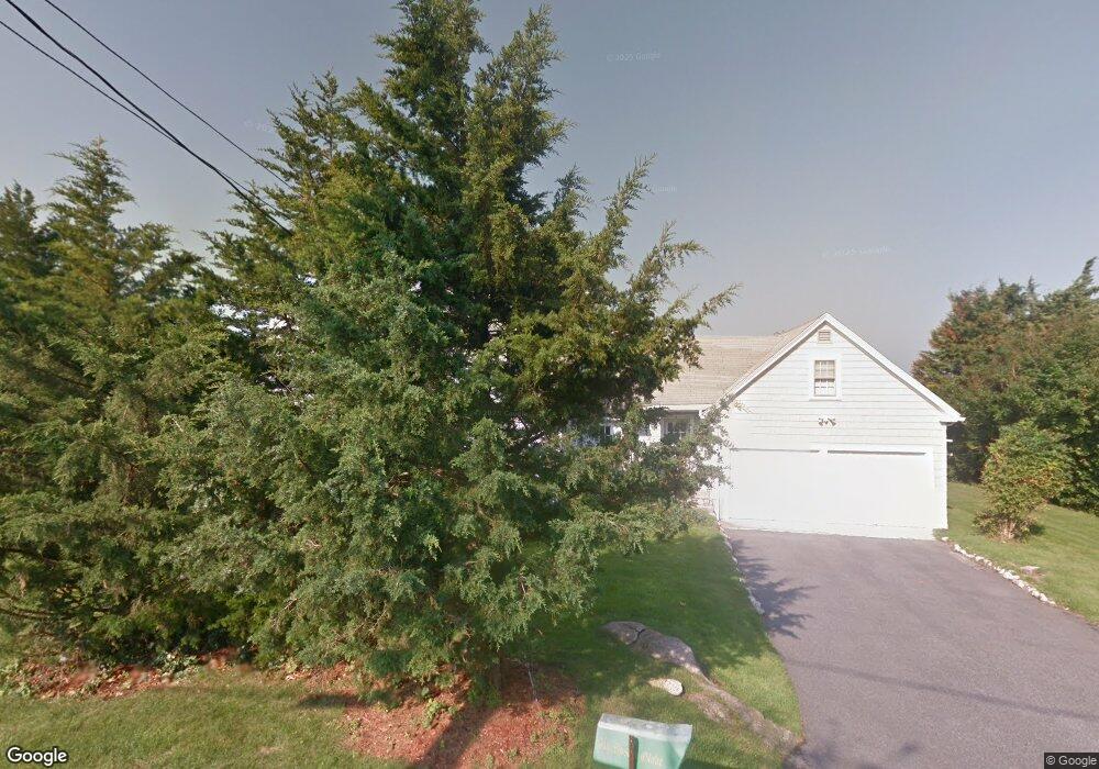
27 Naushon Cir Falmouth, MA 02540
Estimated Value: $1,424,000 - $3,540,000
4
Beds
4
Baths
2,079
Sq Ft
$1,316/Sq Ft
Est. Value
About This Home
This home is located at 27 Naushon Cir, Falmouth, MA 02540 and is currently estimated at $2,736,529, approximately $1,316 per square foot. 27 Naushon Cir is a home located in Barnstable County with nearby schools including North Falmouth Elementary School, Morse Pond School, and Lawrence School.
Ownership History
Date
Name
Owned For
Owner Type
Purchase Details
Closed on
Feb 5, 1997
Sold by
Donald J Hunt Ret and Hunt
Bought by
Ho James K and Ho Catherine M
Current Estimated Value
Home Financials for this Owner
Home Financials are based on the most recent Mortgage that was taken out on this home.
Original Mortgage
$590,000
Outstanding Balance
$66,759
Interest Rate
7.57%
Mortgage Type
Purchase Money Mortgage
Estimated Equity
$2,669,770
Create a Home Valuation Report for This Property
The Home Valuation Report is an in-depth analysis detailing your home's value as well as a comparison with similar homes in the area
Home Values in the Area
Average Home Value in this Area
Purchase History
| Date | Buyer | Sale Price | Title Company |
|---|---|---|---|
| Ho James K | $455,000 | -- | |
| Ho James K | $455,000 | -- | |
| Ho James K | $455,000 | -- |
Source: Public Records
Mortgage History
| Date | Status | Borrower | Loan Amount |
|---|---|---|---|
| Open | Ho James K | $590,000 | |
| Closed | Ho James K | $590,000 |
Source: Public Records
Tax History Compared to Growth
Tax History
| Year | Tax Paid | Tax Assessment Tax Assessment Total Assessment is a certain percentage of the fair market value that is determined by local assessors to be the total taxable value of land and additions on the property. | Land | Improvement |
|---|---|---|---|---|
| 2025 | $18,380 | $3,131,100 | $2,494,600 | $636,500 |
| 2024 | $19,281 | $3,070,200 | $2,494,600 | $575,600 |
| 2023 | $18,499 | $2,673,300 | $2,175,200 | $498,100 |
| 2022 | $18,446 | $2,291,400 | $1,895,400 | $396,000 |
| 2021 | $18,876 | $2,220,700 | $1,895,400 | $325,300 |
| 2020 | $17,596 | $2,048,400 | $1,723,100 | $325,300 |
| 2019 | $17,468 | $2,040,600 | $1,723,100 | $317,500 |
| 2018 | $17,422 | $2,025,800 | $1,723,100 | $302,700 |
| 2017 | $17,182 | $2,014,300 | $1,723,100 | $291,200 |
| 2016 | $16,860 | $2,014,300 | $1,723,100 | $291,200 |
| 2015 | $16,497 | $2,014,300 | $1,723,100 | $291,200 |
| 2014 | $16,400 | $2,012,300 | $1,723,000 | $289,300 |
Source: Public Records
Map
Nearby Homes
- 22 Acorn Dr
- 24 Jae Rd
- 0 Quaker Rd Unit 73423088
- 0 Quaker Rd Unit 22504204
- 345 Quaker Rd
- 82 Dale Dr
- 102 Nashawena St
- 850 W Falmouth Hwy Unit 11
- 4 Ambleside Dr
- 106 Ambleside Dr
- 908 W Falmouth Hwy
- 126 Ambleside Dr
- 97 Alder Ln
- 104 Streeter Hill Rd
- 0 Chapoquoit Rd
- 121 Streeter Hill Rd
- 121 Streeter Hill Rd
- 104 Streeter Hill Rd
- 40 Point Rd
- 113 Blacksmith Shop Rd