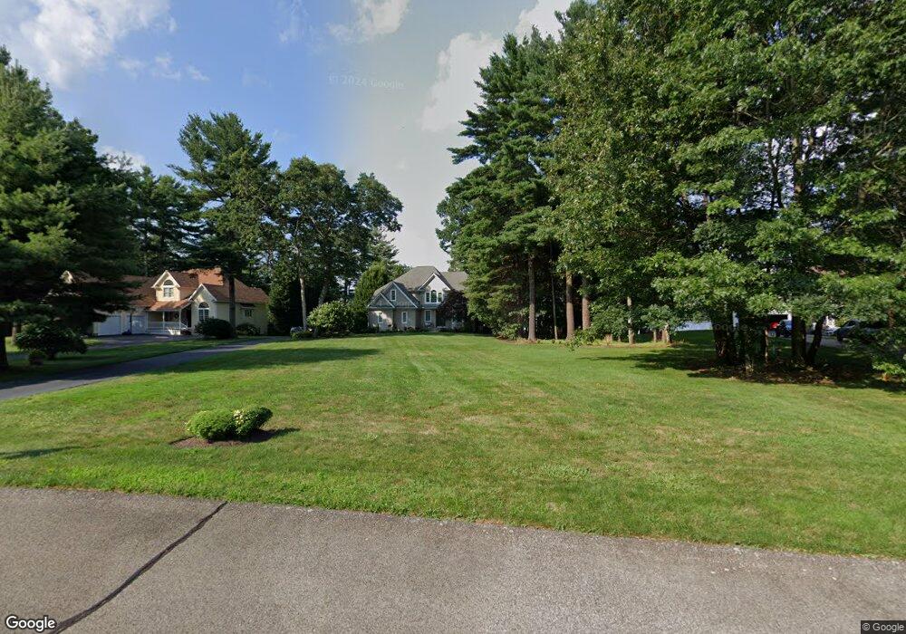
27 Northup Plat Rd Coventry, RI 02816
Estimated Value: $1,067,000 - $1,355,000
--
Bed
4
Baths
3,852
Sq Ft
$312/Sq Ft
Est. Value
About This Home
This home is located at 27 Northup Plat Rd, Coventry, RI 02816 and is currently estimated at $1,203,193, approximately $312 per square foot. 27 Northup Plat Rd is a home located in Kent County with nearby schools including Alan Shawn Feinstein Ms Of Cov, Coventry High School, and Greenwich Village School.
Ownership History
Date
Name
Owned For
Owner Type
Purchase Details
Closed on
Sep 24, 2004
Sold by
Hawk Crest Prop
Bought by
Koktark Tolga and Koktark Didem
Current Estimated Value
Create a Home Valuation Report for This Property
The Home Valuation Report is an in-depth analysis detailing your home's value as well as a comparison with similar homes in the area
Home Values in the Area
Average Home Value in this Area
Purchase History
| Date | Buyer | Sale Price | Title Company |
|---|---|---|---|
| Koktark Tolga | $315,000 | -- |
Source: Public Records
Mortgage History
| Date | Status | Borrower | Loan Amount |
|---|---|---|---|
| Open | Koktark Tolga | $524,000 | |
| Closed | Koktark Tolga | $540,000 | |
| Closed | Koktark Tolga | $30,000 | |
| Closed | Koktark Tolga | $83,500 |
Source: Public Records
Tax History Compared to Growth
Tax History
| Year | Tax Paid | Tax Assessment Tax Assessment Total Assessment is a certain percentage of the fair market value that is determined by local assessors to be the total taxable value of land and additions on the property. | Land | Improvement |
|---|---|---|---|---|
| 2024 | $15,640 | $987,400 | $422,300 | $565,100 |
| 2023 | $15,137 | $987,400 | $422,300 | $565,100 |
| 2022 | $13,963 | $713,500 | $311,100 | $402,400 |
| 2021 | $13,842 | $713,500 | $311,100 | $402,400 |
| 2020 | $15,868 | $713,500 | $311,100 | $402,400 |
| 2019 | $13,933 | $626,500 | $266,900 | $359,600 |
| 2018 | $13,539 | $626,500 | $266,900 | $359,600 |
| 2017 | $13,144 | $626,500 | $266,900 | $359,600 |
| 2016 | $12,542 | $585,800 | $238,800 | $347,000 |
| 2015 | $12,202 | $585,800 | $238,800 | $347,000 |
| 2014 | $11,947 | $585,800 | $238,800 | $347,000 |
| 2013 | $11,179 | $599,100 | $274,800 | $324,300 |
Source: Public Records
Map
Nearby Homes
- 50 Isle of Capri Rd
- 6 Sherwood Valley Ln
- 76 Lakehurst Dr
- 2 Huckleberry Rd
- 89 Wisteria Dr
- 95 Lakehurst Dr
- 2 Pine Way Blvd
- 12 Friar Tuck Ln
- 187 Lakehurst Dr
- 17 Wood Cove Dr
- 5 Cantaberry Ln
- 7 Circle Dr
- 1 Boyd Brook Cir
- 21 Cantaberry Ln
- 4 Boyd Brook Cir
- 18 Pine Way Blvd
- 6 Pine Way Blvd
- 4 Pine Way Blvd
- 3 Boyd Brook Cir
- 3 Crocus Ct
- 25 Northup Plat Rd
- 29 Northup Plat Rd
- 54 N Pleasant St
- 31 Northup Plat Rd
- 23 Northup Plat Rd
- 33 Northup Plat Rd
- 21 Northup Plat Rd
- 35 Northup Plat Rd
- 19 Northup Plat Rd
- 30 Northup Plat Rd
- 37 Northup Plat Rd
- 17 Northup Plat Rd
- 15 Northup Plat Rd
- 5 Hill Farm Camp Rd
- 14 Northup Plat Rd
- 10 Peninsula Ct
- 8 Hill Farm Camp Rd
- 12 Northup Plat Rd
- 13 Northup Plat Rd
- 1260R Hill Farm Rd